 WebApps
- img: https://pics.landcover100.com/pics/image/WEBAPP5.png
  link: http://www.ibge.gov.br/mapas_ibge/interativos.php
  name: Brazilian Web Services
  desc: Web app of Salvador, Bahai http://geolivre.saude.ba.gov.br/geo_bahia/
  author: Login Required?No
- img: https://pics.landcover100.com/pics/image/WEBAPP7.png
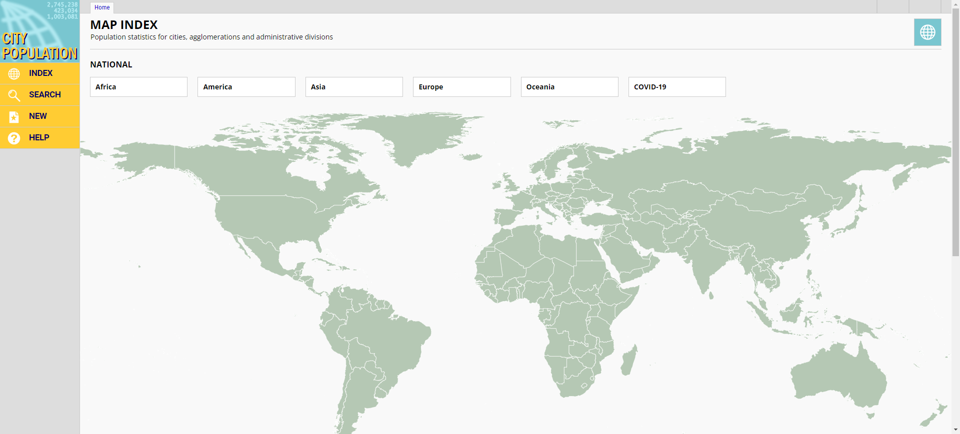
  link: http://www.citypopulation.de/cities.html
  name: City population data
  desc: Combination of webapp to choose country, linked to tables with population by city within the
  author: Login Required?No
- img: https://pics.landcover100.com/pics/image/WEBAPP13.png
  link: http://www.google.com/earth/index.html
  name: Google Earth
  desc: Application Download
  author: Login Required?No
- img: https://pics.landcover100.com/pics/image/WEBAPP21.png
  link: http://www.inegi.org.mx/inegi/contenidos/serviciosWEB/infogeografica.aspx
  name: Instituto Nacional de Estadistica y Geografia (INEGI)-Mexico
  desc: Web Map App for Mexico - data doesn't appear to be downloadable; see also http://gaia.inegi.o
  author: Login Required?No
- img: https://pics.landcover100.com/pics/image/WEBAPP24.png
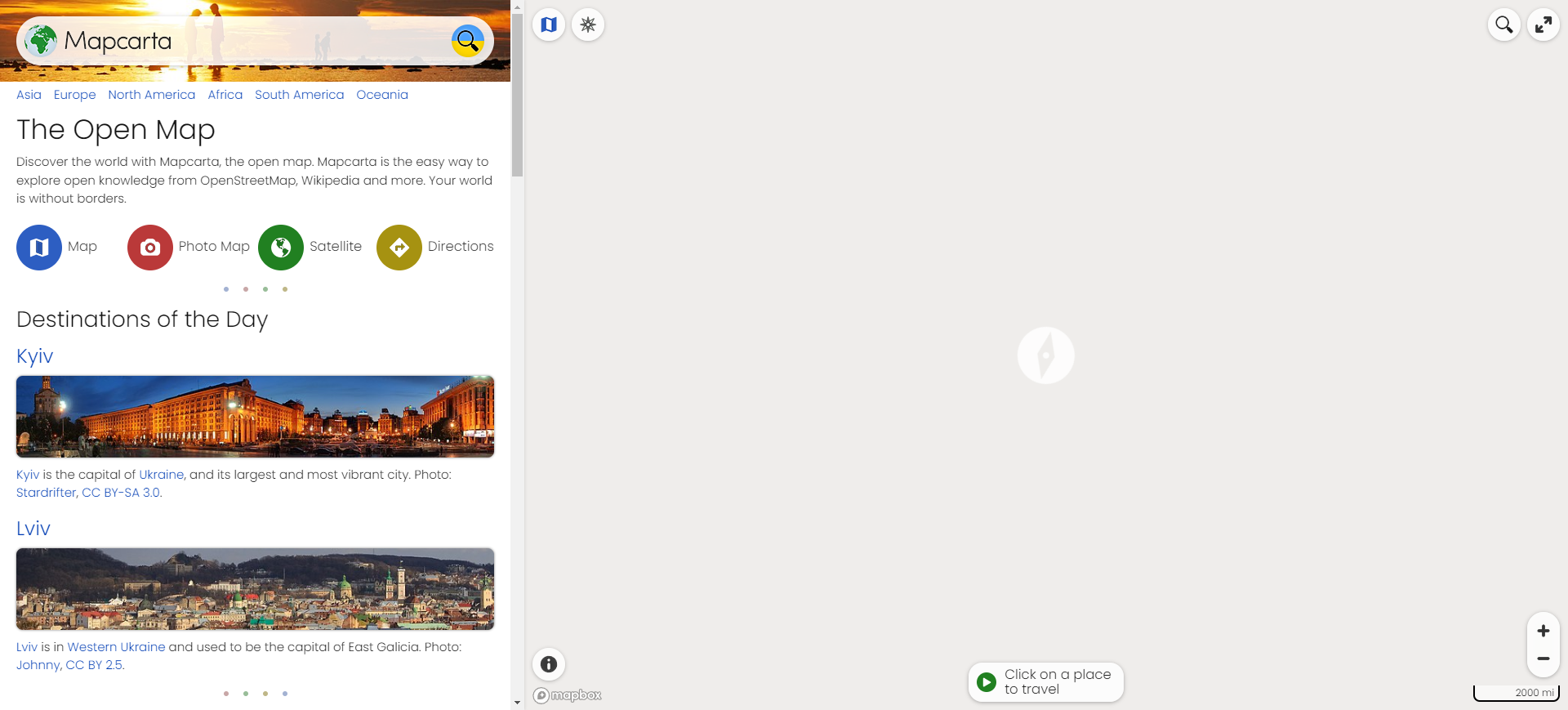
  link: http://mapcarta.com/
  name: Mapcarta
  desc: Google base map with local (street level) images hosted at Panoramio
  author: Login Required?No
- img: https://pics.landcover100.com/pics/image/WEBAPP26.png
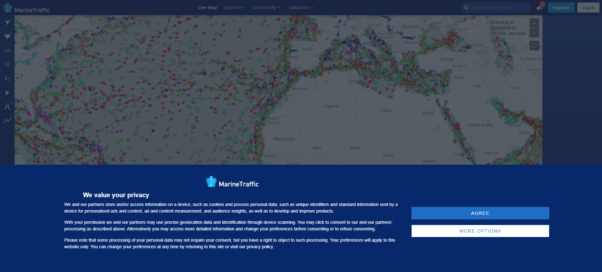
  link: http://www.marinetraffic.com/ais/
  name: MarineTraffic.com
  desc: Live marine traffic, including vessel names, type, size,
- img: https://pics.landcover100.com/pics/image/WEBAPP28.png
  link: http://www.ngii.go.kr/en/contents/contentsView.do?rbsIdx=70
  name: National Geographic Information Institute, Korea Map Service
  desc: Web apps - for example national atlas http://nationalatlas.ngii.go.kr/atlas2008/e-ngiatlas/ng
  author: Login Required?No
- img: https://pics.landcover100.com/pics/image/WEBAPP30.png
  link: http://kansalaisen.karttapaikka.fi/kartanhaku/osoitehaku.html?e=406643&n=7195132&scale=800000
  name: National Land Survey of Finland Mapsite
  desc: Finland - site says that "Datasets can be downloaded from this website in the current nationa
  author: Login Required?No
- img: https://pics.landcover100.com/pics/image/WEBAPP32.png
  link: http://www.openseamap.org/
  name: Open Sea Map
  desc: Nautical map
  author: Login Required?No
- img: https://pics.landcover100.com/pics/image/WEBAPP35.png
  link: http://sige.inei.gob.pe/sige/
  name: Sistema de Informacion Geografica para Emprendedores (Geographic Information System for Entre
  desc:
  author: Login Required?Yes
- img: https://pics.landcover100.com/pics/image/WEBAPP37.png
  link: http://www.stats.gov.lc/mapping_page/map_index.htm
  name: St. Lucia Statistical Maps
  desc: Not downloadble; online static
  author: Login Required?No
- img: https://pics.landcover100.com/pics/image/WEBAPP41.png
  link: http://www.topomapper.com/
  name: Topomapper
  desc: Worldwide topographic maps viewer. Mainly Russian military maps 1:100.000 and 1:200.000. Dual
  author: Login Required?No
- img: https://pics.landcover100.com/pics/image/WEBAPP42.png
  link: http://uarctic.org/AtlasFront.aspx?M=637
  name: UArctics Atlas
  desc: Maps viewable in GE (link at bottom of map pages)
  author: Login Required?No
- img: https://pics.landcover100.com/pics/image/WEBAPP44.png
  link: http://geodata.grid.unep.ch/
  name: UNEP - GEO Data Portal
  desc: Global Environment
  author: Login Required?No
- img: https://pics.landcover100.com/pics/image/WEBAPP53.png
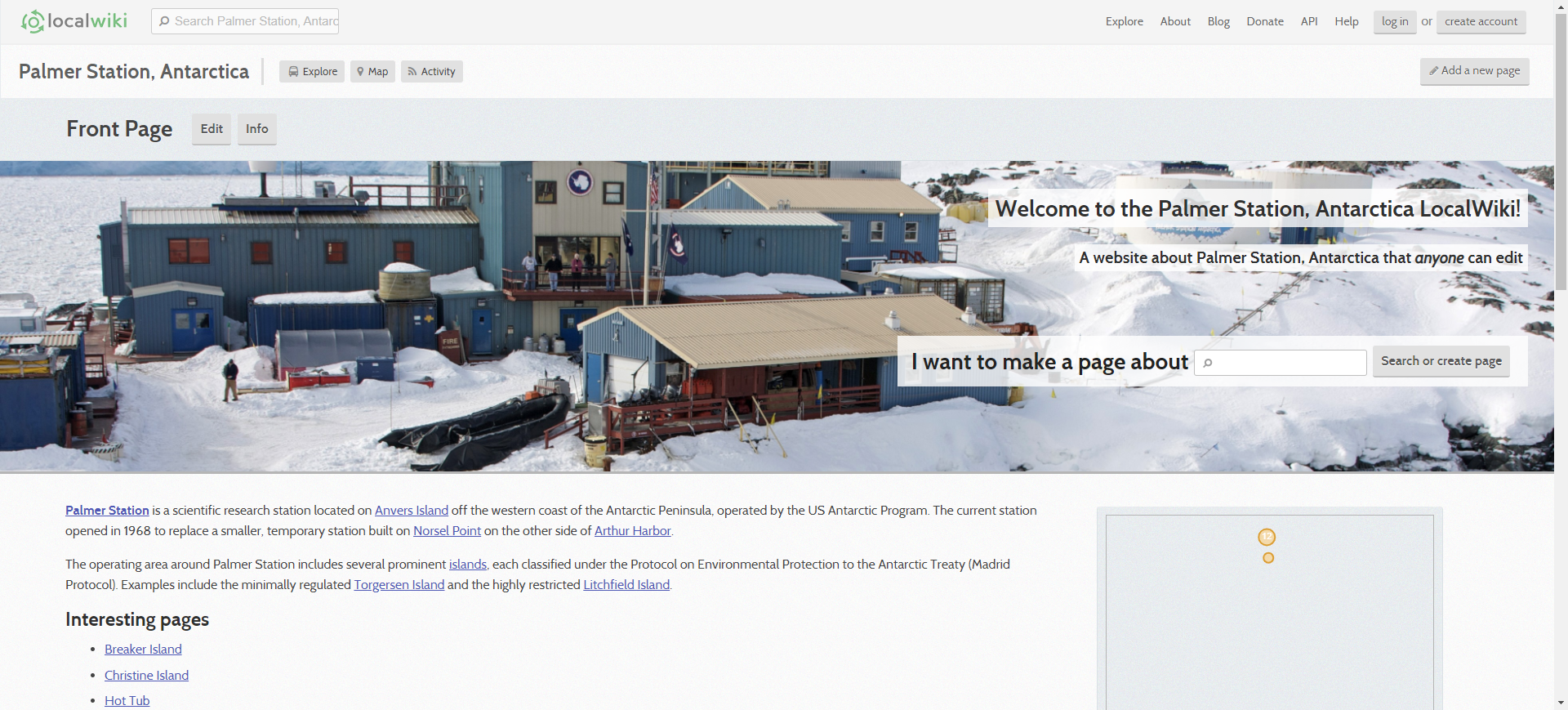
  link: http://antarctica.localwiki.org/
  name: Open Antarctica (LocalWiki project)
  desc: Pages with maps of features
  author: Login Required?No
- img: https://pics.landcover100.com/pics/image/WEBAPP60.png
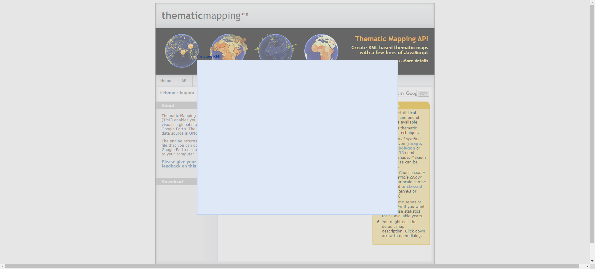
  link: http://thematicmapping.org/engine/
  name: ThematicMapping
  desc: Allows users to create KML thematic maps using UNdata
  author: Login Required?No
导航表格 有一些网站是没有加载出来的,就没有做成贴片。更详细的信息见下表:
| Name | Web Address | Notes |
|---|---|---|
| ACTED Brazzaville (Republic of the Congo) Online Mapping Platform | http://brazzaville.reach-initiative.org/ (now offline) | App appears to be taken down; pdf maps of reach data here: http://www.reach-initiative.org/maps |
| African Drought Monitor | http://hydrology.princeton.edu/~nchaney/Africa_Drought_Monitor_Webpage/GMinterface.php | Drought |
| Afrigis – South African GIS data | http://maps.afrigis.co.za/DataCatalogue/Users/LuceneSearch.aspx (for example, search for medical), or http://maps.afrigis.co.za/ | Data not available but queryable in web apps; second web app has more features (will send sms) and links to traffic cams |
| ASIAES, or ASEAN+3 Satellite Image Archive for Environmental Study | http://asiaes.gistda.or.th/map.jsp | Map of disaster events classified by type (cold wave, drought, cyclone etc) |
| Brazilian Web Services | http://www.ibge.gov.br/mapas_ibge/interativos.php | Web app of Salvador, Bahai: http://geolivre.saude.ba.gov.br/geo_bahia/ |
| Census of India | http://www.censusindiamaps.net/IndiaCensus/Map.htm | |
| City population data | http://www.citypopulation.de/cities.html | Combination of webapp to choose country, linked to tables with population by city within the country. |
| Crisis mapping 2.0 | www.findinggeo.com (opens new window) | Listing of crisis maps, most available as GeoRSS feeds |
| DevTrac | http://www.devtrac.ug/ | Realtime reporting of public services in Uganda (schools, health centers, water etc) |
| DRR Project Portal for Asia and the Pacific | http://www.drrprojects.net/drrp/drrpp/project/map | Current, proposed and past disaster risk reduction projects overlaid with risk maps provided by the Global Risk Data Platform |
| EarthNC | http://earthnc.com/online-nautical-charts | Online chart viewer with Google Earth integration. Mobile apps available - includes some hurricane countries |
| East Border Region (Ireland) Web Application | http://www.eastborderregionmaps.com/crossborder/ | View data layers (governement services, recreation facitlities, health centers, schools, restaurants), report issue, address lookup service |
| Google Earth | http://www.google.com/earth/index.html | Application Download |
| Google Maps | http://maps.google.com/ | |
| Government of Jamaica Web Map | http://www.licj.org.jm/map/cabinetWebMapv2.html# (opens new window) | |
| Guam Map viewer | http://maps.guam.gov/gumaguam/index.html | includes GeoRSS for earthquakes; See also http://maps.guam.gov/ for Parcel, Hazard, and public safety viewers |
| Guatamala (Marn) Systema De Informacion Ambiental (SIM) Map viewer | http://www.sia.marn.gob.gt/aplicaciones/NEPAssist/NEPA/nepamap.aspx | You can overlay your own service (Andir el servicio remoto in the tools); see also http://www.sia.marn.gob.gt/aplicaciones/MARNIA/indexGIS.html |
| Harvard World Map | http://worldmap.harvard.edu/ | |
| http://koordinates.com/ | http://koordinates.com/ | |
| Instituto Geografico Agustin Codazzi Visualizador (Web Mapping for Colombia) | http://mapascolombia.igac.gov.co/wps/portal/mapasdecolombia/ | |
| Instituto Nacional de Estadistica y Geografia (INEGI)-Mexico | http://www.inegi.org.mx/inegi/contenidos/serviciosWEB/infogeografica.aspx | Web Map App for Mexico - data doesn't appear to be downloadable; see also http://gaia.inegi.org.mx/mdm6/ |
| International Road Assessment Program (Road Safety Ratings Online map) | http://nyem.appspot.com/irap.html | App is spotty - may look empty but can sometimes zoom in and out to get assessment - program page here: http://www.irap.org/; App may only have Malaysia data |
| Intituto Geográfico Nacional de la República Argentina (IGNA) | http://sig.ign.gob.ar/ | Not downloadable |
| Mapcarta | http://mapcarta.com/ | Google base map with local (street level) images hosted at Panoramio |
| Mapquest | http://www.mapquest.com/ | |
| MarineTraffic.com (opens new window) | http://www.marinetraffic.com/ais/ | Live marine traffic, including vessel names, type, size, speeds, flag, destination, draught, directions, nearby ports, recent arrivals/departures etc.; has iPhone and Android app, mutual data exchange (JSON or XML) possible |
| MSNBC Hurricane Tracker | http://www.msnbc.msn.com/id/26295161 | |
| National Geographic Information Institute, Korea Map Service | http://www.ngii.go.kr/en/contents/contentsView.do?rbsIdx=70 | Web apps - for example national atlas http://nationalatlas.ngii.go.kr/atlas2008/e-ngiatlas/ngiatlas.html; some maps downloadable as pdfs (http://www.ngii.go.kr/en/popup/map_asia.jsp); see also http://sgis.kostat.go.kr and http://gis.seoul.go.kr/SeoulGis/newLifeMap.jsp? |
| National Geographic Map Machine | [http://maps.nationalgeographic.com/map-machine#s=r&c=43.74999999999998,%20-99.71000000000001&z=4](http://maps.nationalgeographic.com/map-machine#s=r&c=43.74999999999998, -99.71000000000001&z=4) | |
| National Land Survey of Finland Mapsite | http://kansalaisen.karttapaikka.fi/kartanhaku/osoitehaku.html?e=406643&n=7195132&scale=8000000&width=600&height=600&tool=siirra&lang=en | Finland - site says that "Datasets can be downloaded from this website in the current national coordinate system ETRS-TM35FIN" but not clear how to do anything other than create link to image |
| Nokia Map Creator (BETA) | http://maps.nokia.com/mapcreator/?ns=true#/-9.394125999999992,44.322328999999996,2,0,0 | users can help edit - the data will be incorporated into Nokia’s NAVTEQ data, reportedly, volunteer efforts to help out Nokia won’t result in public availability of its GIS data |
| Open Sea Map | http://www.openseamap.org/ | Nautical map |
| Open Street Map | http://www.openstreetmap.org/ | |
| OpenRouteService | http://openrouteservice.org/ | |
| Sistema de Informacion Geografica para Emprendedores (Geographic Information System for Entrepreneurs) - Peru | http://sige.inei.gob.pe/sige/ | |
| Southern African Development Community(SADC) | http://www.agis.agric.za/agismap_atlas/AtlasViewer.jsp?MapService=sadc&ProjectId=15&LId=0&OId=0&LayerIdVisList=none | Online browser GPW, boundaries, cities, rivers, imagery -data not downloadable |
| St. Lucia Statistical Maps | http://www.stats.gov.lc/mapping_page/map_index.htm | Not downloadble; online static |
| Statistical Atlas of Palestine | http://atlas.pcbs.gov.ps/atlas/default.asp | Links to web map and metadata for Palestinian Territory surveys (population, health, etc). Data not downloadable |
| Statistics of South Africa map viewer | http://mapserver2.statssa.gov.za/geographywebsite/index.html | |
| Terra-i Visualizer | http://portal.policysupport.org/portal/terra-i/gmaps/terra-i.html | Online visualizer of deforestation and habitat loss across Latin America and the Caribbean from 2004 to current date - Further info: http://www.terra-i.org |
| Topomapper | http://www.topomapper.com/ | Worldwide topographic maps viewer. Mainly Russian military maps 1:100.000 and 1:200.000. Dual maps view to compare topo maps with Google, Bing, Yahoo and OSM maps. Also available as Android app. |
| UArctics Atlas | http://uarctic.org/AtlasFront.aspx?M=637 | Maps viewable in GE (link at bottom of map pages) |
| Undersea Cable | http://www.cablemap.info/ | |
| UNEP - GEO Data Portal | http://geodata.grid.unep.ch/ | Global Environment |
| UNEP Asia and the Pacific GEO Data Portal | http://geodata.rrcap.unep.org/ | Associated with environmental initiatives |
| UNEP-WCMC Centre's Interactive Map Service | http://imaps.unep-wcmc.org/imaps_index.htm | |
| Urb-AL3 | http://urbal3.vinadelmarchile.cl/webgis/ | cities and municipalities of Chile |
| WHO Global Health Atlas Interactive Mapper | http://apps.who.int/globalatlas/ | Health stats |
| Wikimapia | http://wikimapia.org/#lat=33.9499&lon=-83.375&z=2&l=0&m=b | |
| World Database on Protected Areas | http://protectedplanet.net/#9_33.75_-83_1 | |
| Hamilton City Council (New Zealand) GIS Mapping Viewer | http://www.hamilton.co.nz/Pages/default.aspx | Under Services tab; GIS property mapping; cemetary site map also available |
| Republic of Cuba Spatial Data Infrastructure (IDERC) Generic Map Viewer | http://www.iderc.co.cu/ | direct connection http://www.iderc.co.cu/VisorIDERC3/; includes a wizard for creating thematic maps ; see also http://www.iderc.co.cu/NomenclatorIDERC/ |
| Open Antarctica (LocalWiki project) | http://antarctica.localwiki.org/ | Pages with maps of features |
| North American Environmental Atlas | http://www.cec.org/atlas/map/ | |
| National train enquiry map | http://railradar.trainenquiry.com/ | Open railway data mapping in real time |
| Agence Nationale dela Statistique et de la Demographie (ANSD) | http://bd.ansd.sn/ | Demographics, admin boundaries, travel times between places in Senegal |
| Urkraine Public Cadastral Map | http://map.dazru.gov.ua/kadastrova-karta | |
| Latvia Map Viewer | http://kartes.lgia.gov.lv/en/kartes.html | |
| OneGeology Europe | http://onegeology-europe.brgm.fr/geoportal/viewer.jsp | |
| ThematicMapping | http://thematicmapping.org/engine/ | Allows users to create KML thematic maps using UNdata |
有问题,我来改改 (opens new window)
上次更新: 2022/10/17, 19:07:36

