 Country
Country
- img: https://pics.landcover100.com/pics/image/COUNTRY2.png
  link: http://afghanistanelectiondata.org/open
  name: Afghanistan Election Data
  desc: (Afghanistan)Includes Election data but also landcover, ethnic gr
  author: Login Required?No
- img: https://pics.landcover100.com/pics/image/COUNTRY3.png
  link: http://www.aims.org.af/
  name: AIMS
  desc: (Afghanistan)
  author: Login Required?No
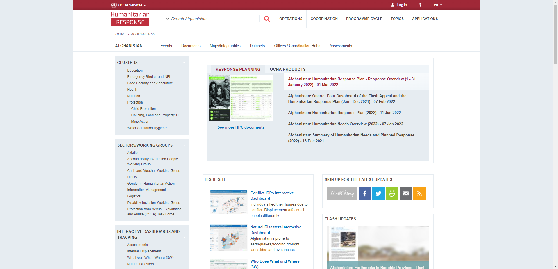
- img: https://pics.landcover100.com/pics/image/COUNTRY4.png
  link: http://afg.humanitarianresponse.info/mapcentre
  name: OCHA Afghanistan Map and Data Centre
  desc: (Afghanistan)
  author: Login Required?No
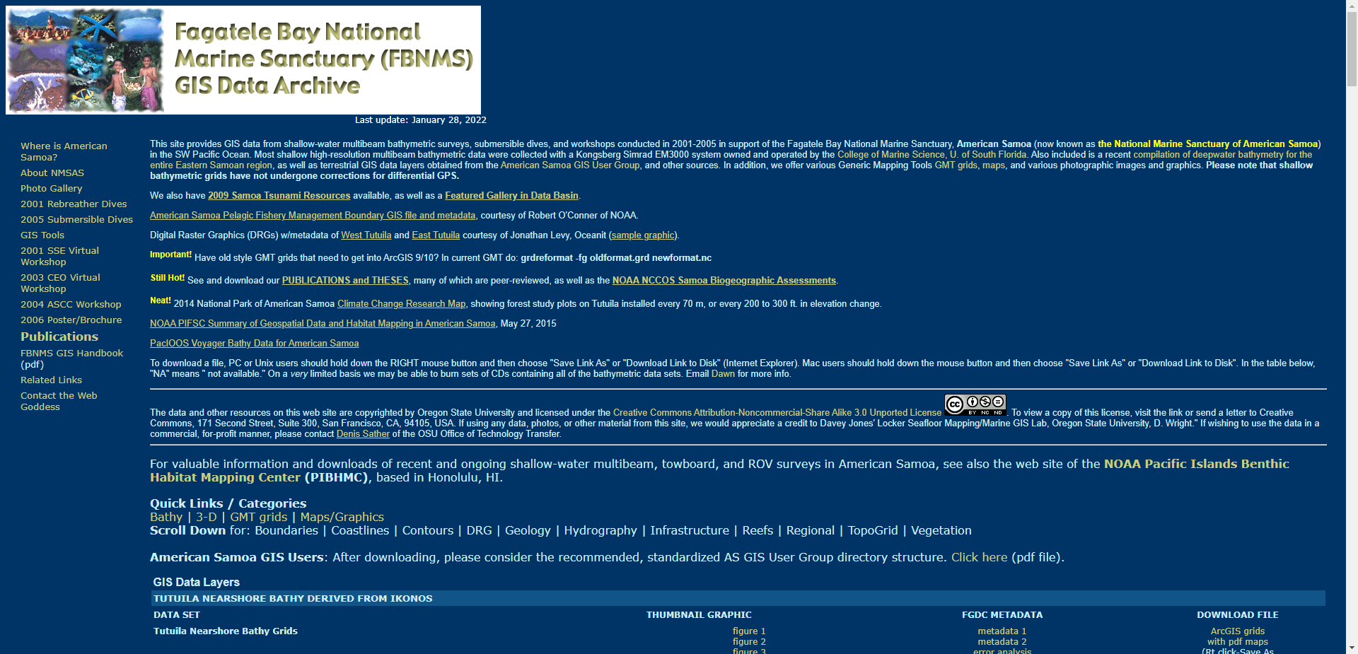
- img: https://pics.landcover100.com/pics/image/COUNTRY10.png
  link: http://dusk.geo.orst.edu/djl/samoa/
  name: Fagatele Bay GIS Data Archive
  desc: (American Samoa)Digital Raster Graphics (DRGs) w/metadata of West
  author: Login Required?No
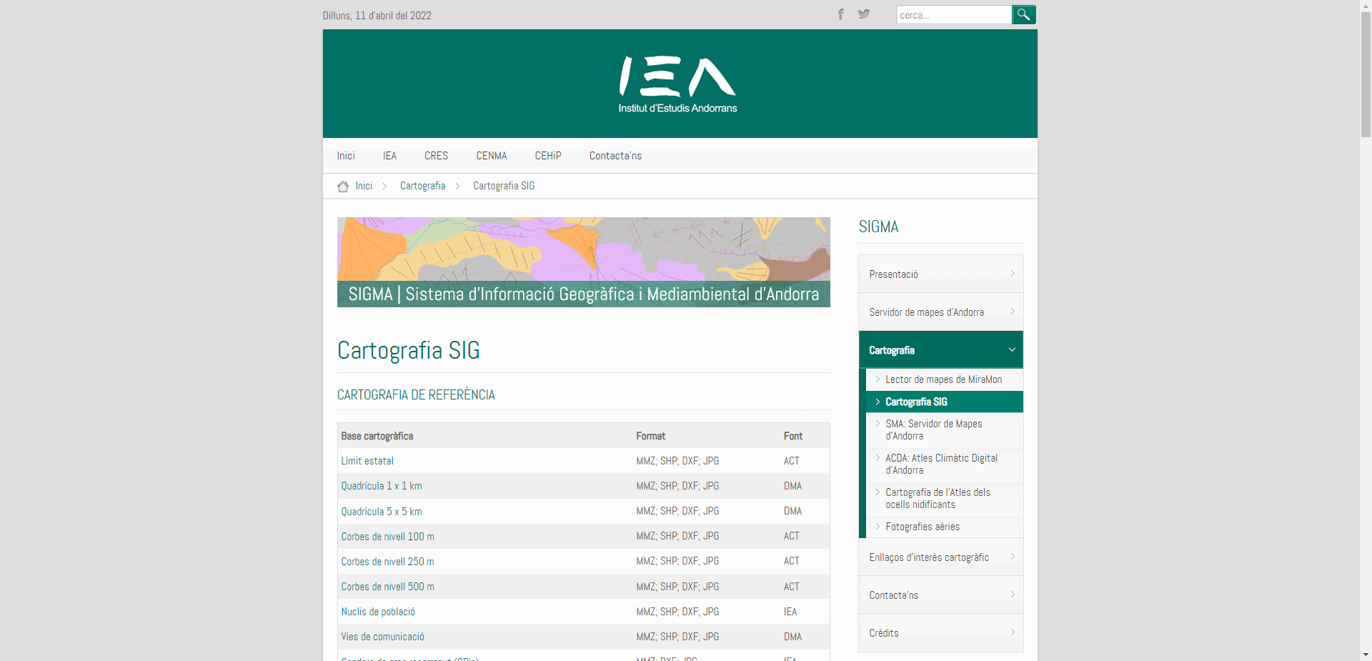
- img: https://pics.landcover100.com/pics/image/COUNTRY11.png
  link: http://iea.ad/cartografia/cartografia-sig
  name: Cartografia SIG (Sistema d'Informacio Geografica i Mediambiental
  desc: (Andorra)Map services via http://iea.ad/cartografia/sma-servidor-
  author: Login Required?No
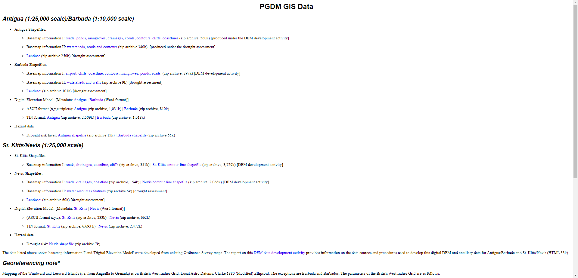
- img: https://pics.landcover100.com/pics/image/COUNTRY13.png
  link: http://www.oas.org/pgdm/data/gis_data.htm
  name: OAS Post-Georges Disaster Mitigation (PGDM) GIS Data
  desc: (Antigua, Barbuda, St. Kitts, Nevis)Downloadable shapes and DEMs
  author: Login Required?No
- img: https://pics.landcover100.com/pics/image/COUNTRY16.png
  link: http://data.buenosaires.gob.ar/
  name: Buenos Aires Data
  desc: (Argentina (Buenos Aires))
  author: Login Required?No
- img: https://pics.landcover100.com/pics/image/COUNTRY18.png
  link: http://www.australianminesatlas.gov.au/
  name: Australian Mines Atlas
  desc: (Australia)Geology (Mines)
  author: Login Required?No
- img: https://pics.landcover100.com/pics/image/COUNTRY20.png
  link: http://data.gov.au/data/
  name: Data.gov.au (Australian government data)
  desc: (Australia)
  author: Login Required?No
- img: https://pics.landcover100.com/pics/image/COUNTRY21.png
  link: http://www.environment.gov.au/erin/
  name: Environment Australia (EA) Online
  desc: (Australia)
  author: Login Required?No
- img: https://pics.landcover100.com/pics/image/COUNTRY22.png
  link: https://www.ga.gov.au/products/servlet/controller?event=DEFINE_PR
  name: Geoscience Australia
  desc: (Australia)
  author: Login Required?No
- img: https://pics.landcover100.com/pics/image/COUNTRY23.png
  link: http://find.ga.gov.au/
  name: FIND
  desc: (Australia)
  author: Login Required?No
- img: https://pics.landcover100.com/pics/image/COUNTRY25.png
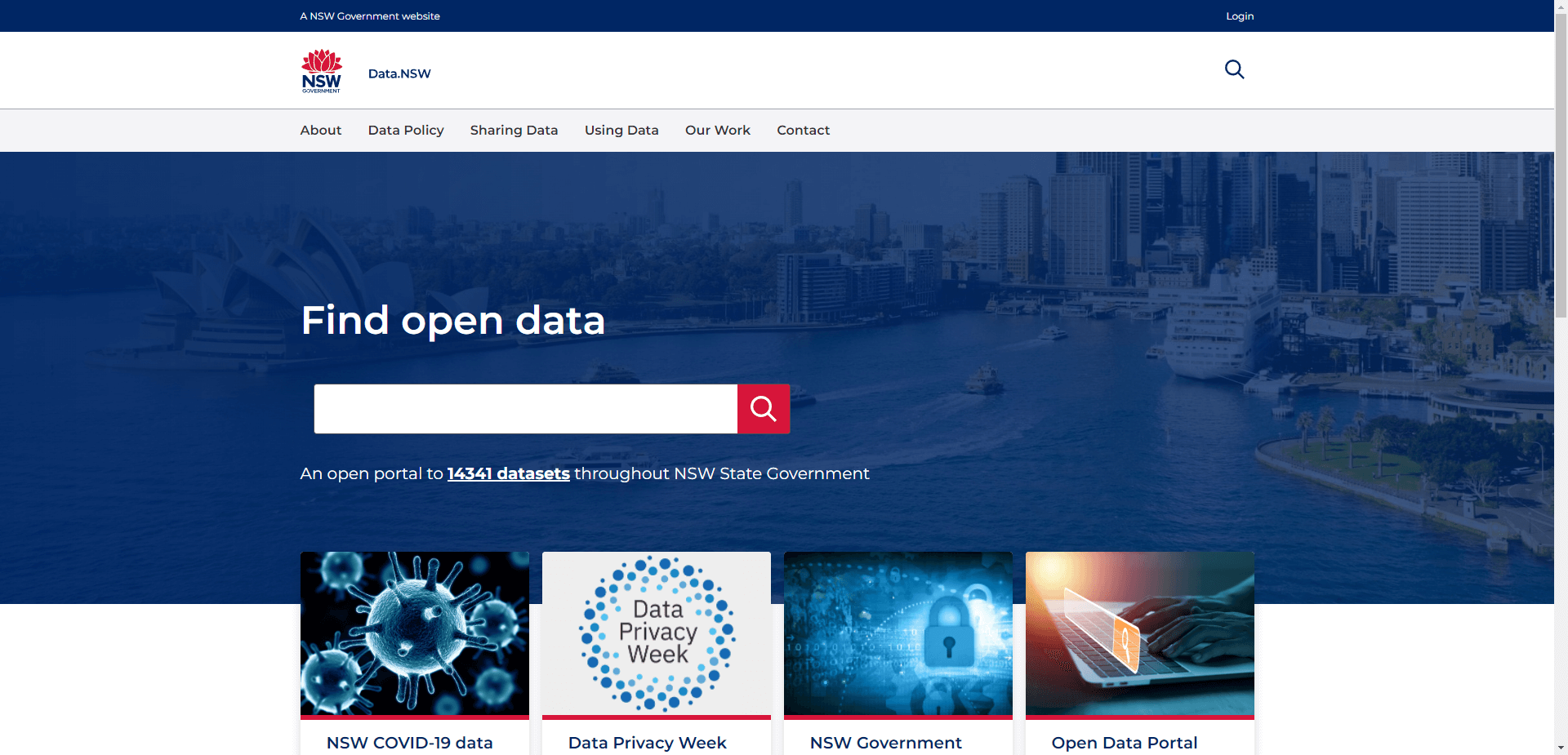
  link: http://data.nsw.gov.au/
  name: data.nsw
  desc: (Australia (New South Wales))
  author: Login Required?No
- img: https://pics.landcover100.com/pics/image/COUNTRY26.png
  link: https://six.nsw.gov.au/
  name: NSW Spatial Services
  desc: (Australia (New South Wales))NSW wide databases of Cadastral and
  author: Login Required?No
- img: https://pics.landcover100.com/pics/image/COUNTRY27.png
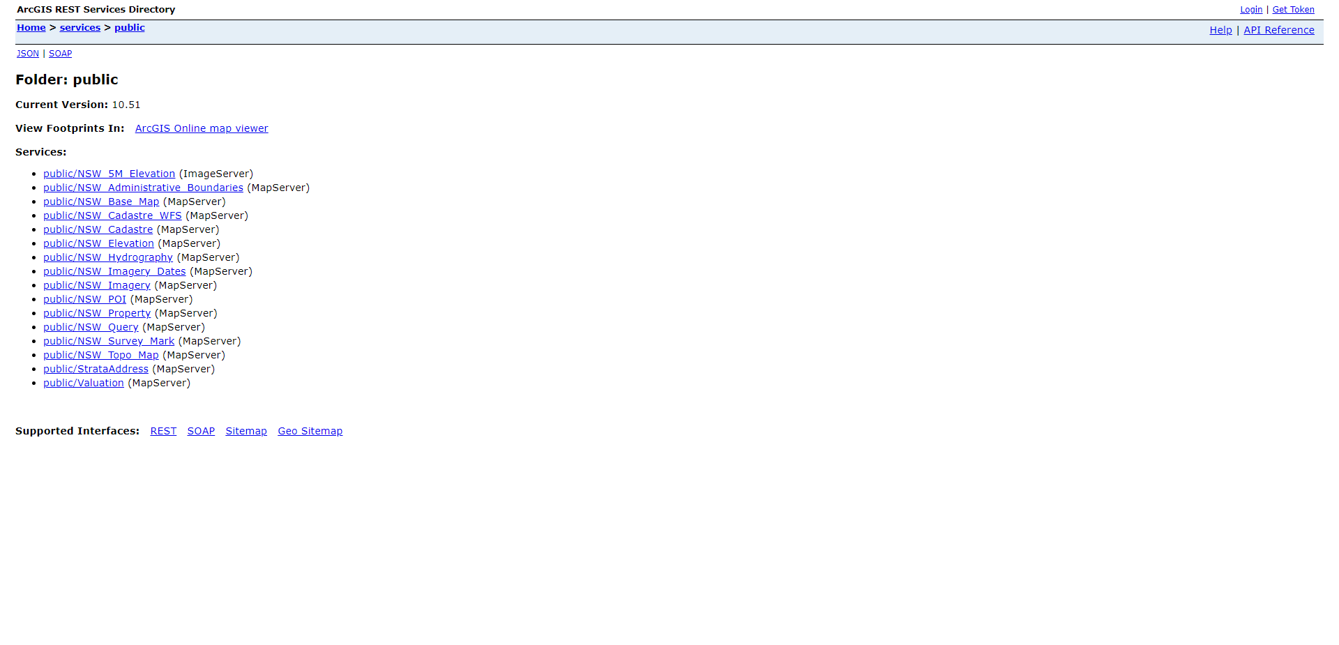
  link: http://maps.six.nsw.gov.au/arcgis/rest/services/public/
  name: NSW Land and Property Information Web Services
  desc: (Australia (New South Wales))ESRI Map and WMS endpoints. More inf
  author: Login Required?No
- img: https://pics.landcover100.com/pics/image/COUNTRY29.png
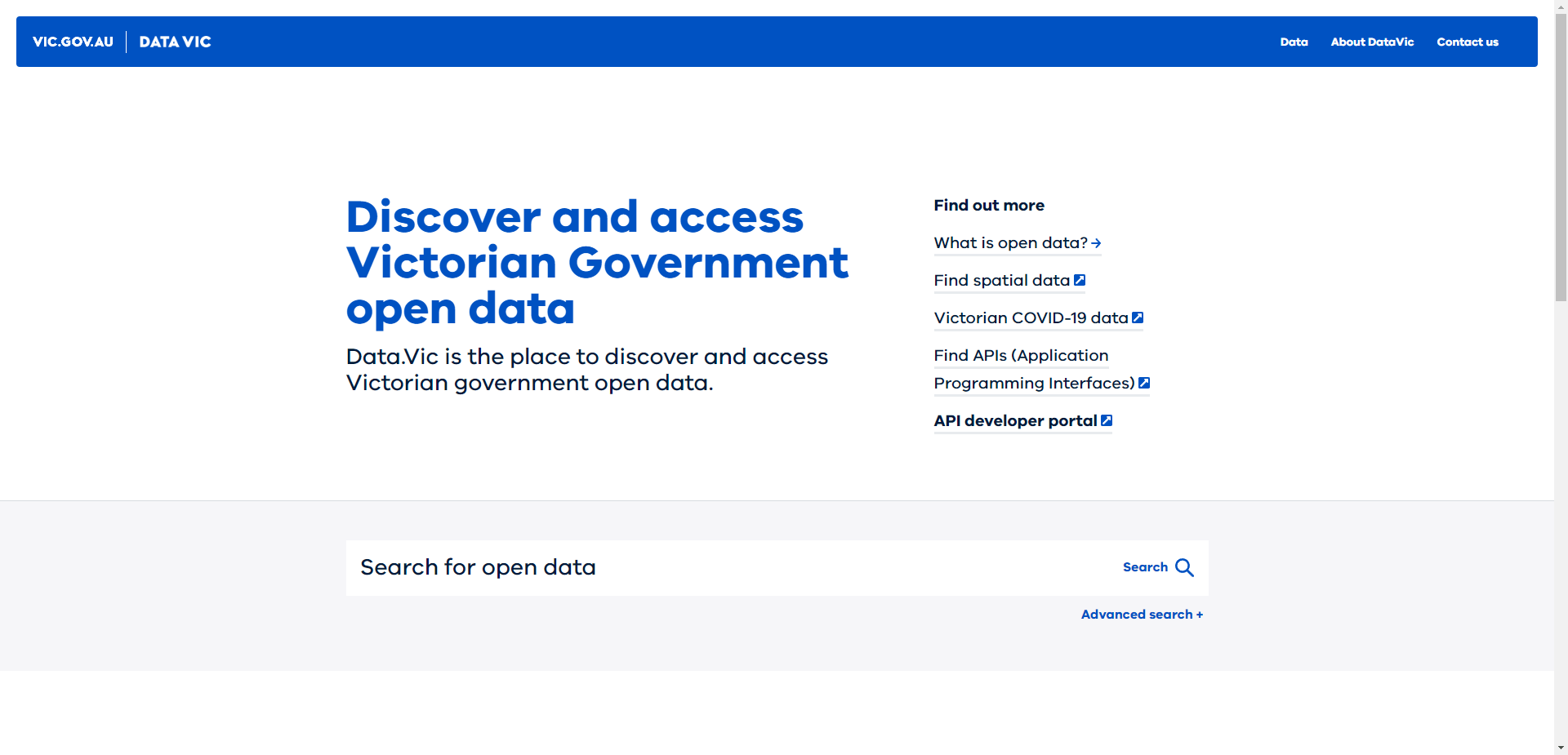
  link: http://www.data.vic.gov.au/
  name: VicMap Data
  desc: (Australia (Victoria))
  author: Login Required?No (but must confirm TOU)
- img: https://pics.landcover100.com/pics/image/COUNTRY36.png
  link: http://www.biodiversity.bz/
  name: Belize Biodiversity Clearing House Mechanism
  desc: (Belize)Primarily biodiversity
  author: Login Required?No
- img: https://pics.landcover100.com/pics/image/COUNTRY40.png
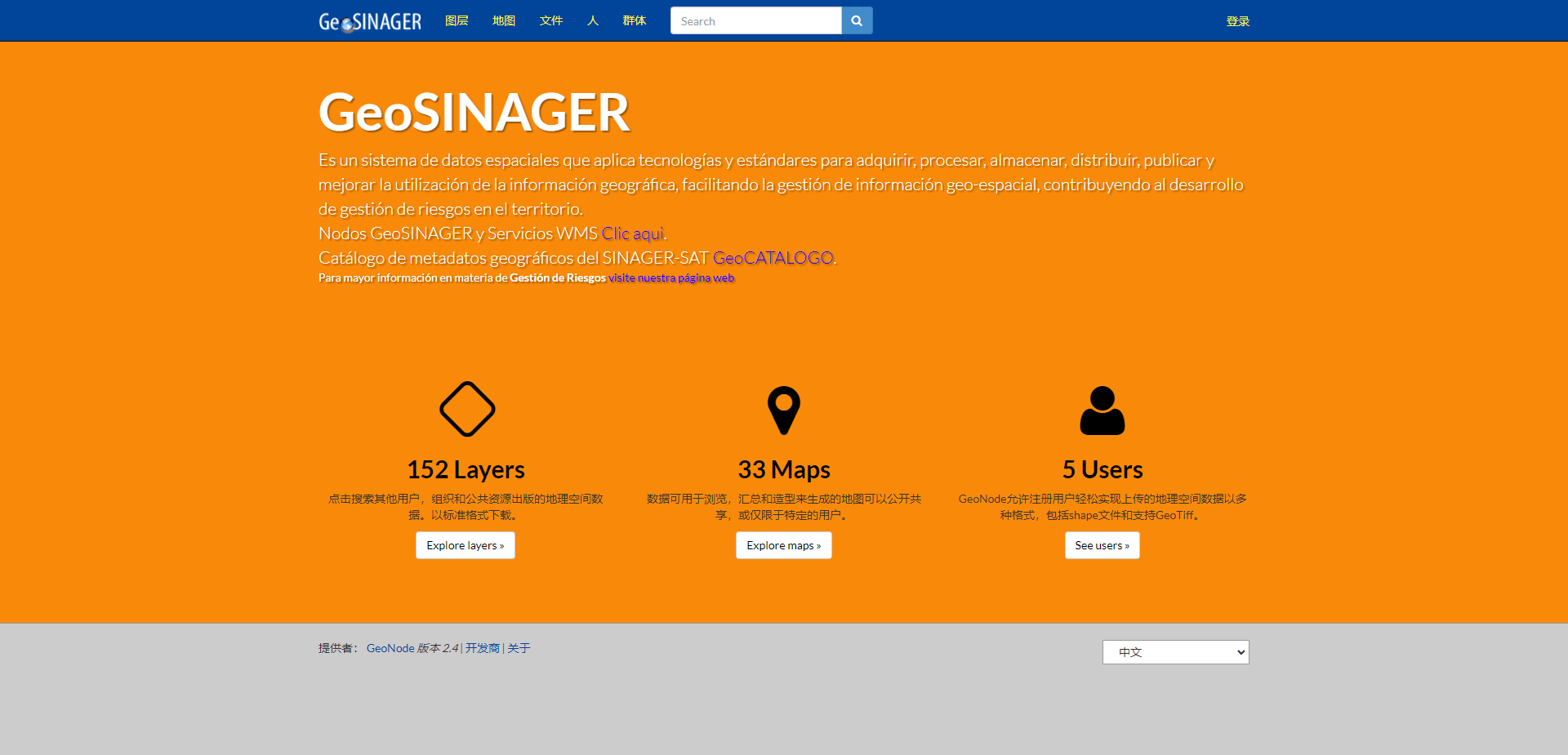
  link: http://geosinager.defensacivil.gob.bo/
  name: GeoSINAGER
  desc: (Bolivia)Geonode
  author: Login Required?No
- img: https://pics.landcover100.com/pics/image/COUNTRY44.png
  link: http://www.ipeadata.gov.br/Default.aspx
  name: ipeadata
  desc: (Brazil)
  author: Login Required?No
- img: https://pics.landcover100.com/pics/image/COUNTRY48.png
  link: http://www.opendevelopmentcambodia.net/downloads/
  name: OpenDevelopment Downloads
  desc: (Cambodia)Mostly natural resource areas, water resources, economi
- img: https://pics.landcover100.com/pics/image/COUNTRY50.png
  link: http://atlas.nrcan.gc.ca/site/english/index.html
  name: Atlas of Canada
  desc: (Canada)
  author: Login Required?No
- img: https://pics.landcover100.com/pics/image/COUNTRY53.png
  link: http://geogratis.cgdi.gc.ca/
  name: GeoGratis
  desc: (Canada)
  author: Login Required?No
- img: https://pics.landcover100.com/pics/image/COUNTRY54.png
  link: http://sis.agr.gc.ca/cansis/nsdb/ecostrat/intro.html
  name: National Ecological Framework for Canada
  desc: (Canada)Ecozones, Canada Land Inventory, Soil
  author: Login Required?No
- img: https://pics.landcover100.com/pics/image/COUNTRY55.png
  link: http://sis.agr.gc.ca/cansis/nsdb/ecostrat/intro.html
  name: National Ecological Framework for Canada
  desc: (Canada)Ecozones
  author: Login Required?No
- img: https://pics.landcover100.com/pics/image/COUNTRY56.png
  link: http://geogratis.cgdi.gc.ca/geogratis/en/index.html
  name: Natural Resources Canada
  desc: (Canada)Natural resources, georeferenced points, land cover, cana
- img: https://pics.landcover100.com/pics/image/COUNTRY57.png
  link: http://www.statcan.gc.ca/mgeo/index2-eng.htm
  name: Statistics Canada
  desc: (Canada)Statistics (includes road, postal, and boundary files)
  author: Login Required?No
- img: https://pics.landcover100.com/pics/image/COUNTRY61.png
  link: http://www.snb.ca/gdam-igec/e/2900e_1.asp
  name: Service New Brunswick
  desc: (Canada (New Brunswick))
  author: Login Required?No
- img: https://pics.landcover100.com/pics/image/COUNTRY62.png
  link: http://www.gov.ns.ca/natr/meb/pubs/pubs3.asp
  name: Nova Scotia Canada DNR Digitial Products
  desc: (Canada (Nova Scotia))Mineral Resources, ground water, land-use a
  author: Login Required?No
- img: https://pics.landcover100.com/pics/image/COUNTRY64.png
  link: http://www.gov.pe.ca/gis/index.php3?number=77868
  name: The Government of Prince Edward Island, CA GIS data
  desc: (Canada (Prince Edward Island))
  author: Login Required?No
- img: https://pics.landcover100.com/pics/image/COUNTRY65.png
  link: http://www.geomaticsyukon.ca/
  name: Yukon Highways and Public Works
  desc: (Canada (Yukon))Includes admin boundaries
  author: Login Required?No
- img: https://pics.landcover100.com/pics/image/COUNTRY69.png
  link: http://www.hdptcar.net/maps
  name: OCHA Office in the CAR
  desc: (Central African Republic)mostly pdfs but also downloadable kmz f
  author: Login Required?No
- img: https://pics.landcover100.com/pics/image/COUNTRY70.png
  link: http://www.wri.org/publication/interactive-forest-atlas-central-a
  name: Forest Atlas for Central African Republic
  desc: (Central African Republic)Forest Resources
  author: Login Required?No
- img: https://pics.landcover100.com/pics/image/COUNTRY75.png
  link: http://sedac.ciesin.columbia.edu/china/index.html
  name: China Dimension (CIESIN at Columbia University)
  desc: (China)
  author: Login Required?No
- img: https://pics.landcover100.com/pics/image/COUNTRY76.png
  link: http://www.fas.harvard.edu/~chgis/
  name: China Historical GIS
  desc: (China)
  author: Login Required?No
- img: https://pics.landcover100.com/pics/image/COUNTRY77.png
  link: http://citas.csde.washington.edu/data/data.html
  name: China In Time And Space (CITAS)
  desc: (China)
  author: Login Required?No
- img: https://pics.landcover100.com/pics/image/COUNTRY79.png
  link: http://www.fas.harvard.edu/~chgis/data/
  name: Harvard China Data Center
  desc: (China)
  author: Login Required?No
- img: https://pics.landcover100.com/pics/image/COUNTRY82.png
  link: http://memory.loc.gov/cgi-bin/query/r?ammem/gmd:@filreq(@field(NU
  name: Library of Congress Contemporary Maps for Macau
  desc: (China (Macau))Downloadable, ungeoreferenced base maps
  author: Login Required?No
- img: https://pics.landcover100.com/pics/image/COUNTRY83.png
  link: http://www.shanghai.gov.cn/shanghai/node17256/node17895/index.htm
  name: Shanghai City maps
  desc: (China (Shanghi))Flat maps only - no data.
  author: Login Required?No
- img: https://pics.landcover100.com/pics/image/COUNTRY92.png
  link: http://www.arcdata.cz/produkty-a-sluzby/gis-on-line/verejne-mapov
  name: ESRI GIS servers in Czech Republic
  desc: (Czech Republic)ESRI web applications in Czech Republic
  author: Login Required?No
- img: https://pics.landcover100.com/pics/image/COUNTRY93.png
  link: http://geoportal.cuzk.cz/(S(omrvif55ns0excyjkttropnh))/Default.as
  name: Geoportal of COSMC
  desc: (Czech Republic)Applications of Czech Office of Surveying, Mappin
  author: Login Required?No
- img: https://pics.landcover100.com/pics/image/COUNTRY98.png
  link: http://www.kms.dk/
  name: Denmark's national mapping agency
  desc: (Denmark)Includes Greenland and Faroe Islands.
- img: https://pics.landcover100.com/pics/image/COUNTRY100.png
  link: http://www.geodata-info.dk/Portal/About.aspx
  name: Geodata-info.dk
  desc: (Denmark)Danish only
  author: Login Required?No
- img: https://pics.landcover100.com/pics/image/COUNTRY104.png
  link: http://sni.gob.ec/web/guest/coberturas;jsessionid=DB121864908E02F
  name: Sistema Nacional de Informacion
  desc: (Ecuador)Schools, health centers, volcano and landslide susceptib
- img: https://pics.landcover100.com/pics/image/COUNTRY109.png
  link: http://walris.wlrc-eth.org/security/user/login
  name: Water and Land Resources Information System (WALRIS)
  desc: (Ethiopia)Description indicates "patial and non-spatial database
- img: https://pics.landcover100.com/pics/image/COUNTRY111.png
  link: http://kansalaisen.karttapaikka.fi/kartanhaku/osoitehaku.html?e=4
  name: Kansalaisen karttapaikka - Mapsite
  desc: (Finland)
  author: Login Required?No
- img: https://pics.landcover100.com/pics/image/COUNTRY112.png
  link: http://www.maanmittauslaitos.fi/en
  name: National Land Survey of Finland (NLS)
  desc: (Finland)On 1 May 2012, the National Land Survey of Finland (NLS)
  author: Login Required?No
- img: https://pics.landcover100.com/pics/image/COUNTRY113.png
  link: http://paikkatietoikkuna.fi/web/en/map-window
  name: Paikkatietoikkuna - Map Window (Finnish Geoportal)
  desc: (Finland)
  author: Login Required?No
- img: https://pics.landcover100.com/pics/image/COUNTRY114.png
  link: https://tiedostopalvelu.maanmittauslaitos.fi/tp/kartta?lang=en
  name: National Land Survey of Finland (NLS) file service of open data
  desc: (Finland)
  author: Login Required?No
- img: https://pics.landcover100.com/pics/image/COUNTRY115.png
  link: http://www.statistiques.developpement-durable.gouv.fr/cartographi
  name: France - Catalogue de l'Institut fran
- img: https://pics.landcover100.com/pics/image/COUNTRY116.png
  link: http://www.data.gouv.fr
  name: French opendata source
  desc: (France)wide range of data available in various formats
  author: Login Required?No
- img: https://pics.landcover100.com/pics/image/COUNTRY117.png
  link: http://www.geoportail.fr/changeLangue.do?lang=en&cty=UK
  name: Geoportail
  desc: (France)
  author: Login Required?No
- img: https://pics.landcover100.com/pics/image/COUNTRY125.png
  link: http://frida.intevation.org/
  name: Frida
  desc: (Germany (Osnabruck))Data included in OpenStreetMap
  author: Login Required?No
- img: https://pics.landcover100.com/pics/image/COUNTRY126.png
  link: https://www.lvermgeo.sachsen-anhalt.de/de/geoservice/wms/main.htm
  name: LVermGeo (State Office for Surveying and Geoinformation)
  desc: (Germany (Saxony-Anhalt))WFS and WMS topo sheets, 3D building mod
  author: Login Required?No
- img: https://pics.landcover100.com/pics/image/COUNTRY131.png
  link: http://transition.fcc.gov/oet/info/maps/guam/
  name: Guam Mapping Data
  desc: (Guam)Boundary only - digitized from a CIA map book (mapinfo form
- img: https://pics.landcover100.com/pics/image/COUNTRY135.png
  link: http://www.portguam.com/maritime-operations/facilities/maps-and-p
  name: Port Authority of Guam Map
  desc: (Guam)Designated use areas; jpeg
  author: Login Required?No
- img: https://pics.landcover100.com/pics/image/COUNTRY139.png
  link: http://haitidata.org/
  name: HaitiData
  desc: (Haiti)
  author: Login Required?Yes
- img: https://pics.landcover100.com/pics/image/COUNTRY141.png
  link: https://www.ornl.gov/ccsd_registrations/landscan/haiti_registrati
  name: Oak Ridge Labs HAITI Dataset
  desc: (Haiti)No documentation, looks like Landscan data
  author: Login Required?Yes
- img: https://pics.landcover100.com/pics/image/COUNTRY143.png
  link: http://www.gov.hk/en/theme/psi/datasets/
  name: GovHK Data.One
  desc: (Hong Kong)Includes real time traffic and Geo-referenced public f
  author: Login Required?No
- img: https://pics.landcover100.com/pics/image/COUNTRY148.png
  link: http://www.eea.europa.eu/data-and-maps/data/eea-reference-grids-2
  name: European Environment Agency Reference Grids of Iceland
  desc: (Iceland)Shapefiles 1, 10 and 100 KM grids covering Iceland
  author: Login Required?No
- img: https://pics.landcover100.com/pics/image/COUNTRY160.png
  link: http://ksdi.kerala.gov.in/KSDI/
  name: Kerala Spatial Data Infrastrucuture (BETA)
  desc: (India (Kerala))Try also http://www.keralaspatialdatabase.org/
  author: Login Required?Yes
- img: https://pics.landcover100.com/pics/image/COUNTRY172.png
  link: http://www.unesco.beniculturali.it/index.php?en/121/open-data
  name: World Heritage Italian properties
  desc: (Italy)data can be downloaded (shape and CSV);
- img: https://pics.landcover100.com/pics/image/COUNTRY178.png
  link: http://cariska.mona.uwi.edu/
  name: Cariska
  desc: (Jamaica )Geonode
  author: Login Required?No
- img: https://pics.landcover100.com/pics/image/COUNTRY179.png
  link: http://fukuno.jig.jp/2013/opendatamap
  name: Japan OpenDataMap
  desc: (Japan)Mostly CC BY - a registry, not repo - links to City and To
  author: Login Required?No
- img: https://pics.landcover100.com/pics/image/COUNTRY180.png
  link: http://www.gsi.go.jp/ENGLISH/page_e30031.html
  name: Geospatial Information Authority of Japan (GSI)
  desc: (Japan)Clearinghouse link is broken but Gazetteer and other links
  author: Login Required?No
- img: https://pics.landcover100.com/pics/image/COUNTRY184.png
  link: https://www.ornl.gov/ccsd_registrations/landscan/japan_registrati
  name: Oak Ridge Labs Japan Dataset
  desc: (Japan)No documentation, looks like Landscan data
  author: Login Required?Yes
- img: https://pics.landcover100.com/pics/image/COUNTRY187.png
  link: http://www.virtualkenya.org/
  name: Virtual Kenya
  desc: (Kenya)
  author: Login Required?No
- img: https://pics.landcover100.com/pics/image/COUNTRY192.png
  link: http://www.acted.org/en/crisis-kyrgyzstan-map-center
  name: ACTED Kyrgyzstan Map Center
  desc: (Krygyzstan)pdf only
  author: Login Required?No
- img: https://pics.landcover100.com/pics/image/COUNTRY195.png
  link: http://revolutionarygis.wordpress.com/2014/03/08/Lao-district-dat
  name: Lao PDR Admin2 boundaries
  desc: (Lao PDR)Deadlink to Lao Statistics Bureau
  author: Login Required?No
- img: https://pics.landcover100.com/pics/image/COUNTRY196.png
  link: http://www.decide.la/account/register
  name: Lao DECIDE portal
  desc: (Lao PDR)English landing page http://www.decide.la/en/; Demograp
  author: Login Required?Yes
- img: https://pics.landcover100.com/pics/image/COUNTRY199.png
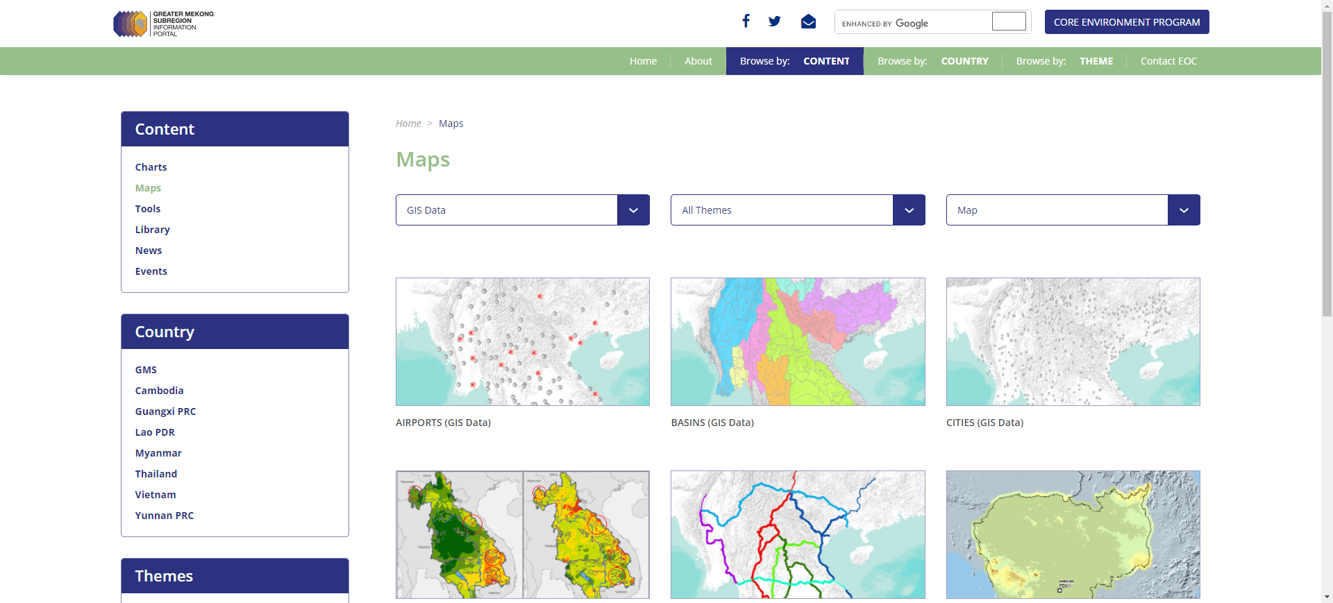
  link: http://portal.gms-eoc.org/maps?&cmbIndicatorMapType=data#
  name: Greater Mekong Sub Region Information Portal
  desc: (Lao PDR(Mekong Sub Region))Downloadable data avaiable Airports,
  author: Login Required?No
- img: https://pics.landcover100.com/pics/image/COUNTRY201.png
  link: https://wle-mekong.cgiar.org/maps/
  name: Water Land and Ecosystems - Dam Maps
  desc: (Lao PDR (Greater Mekong))Dams completed, planned and under const
  author: Login Required?Yes
- img: https://pics.landcover100.com/pics/image/COUNTRY205.png
  link: http://45.76.148.41/
  name: RFO-SEA
  desc: (Lao PDR)A portal for forestry data in South East Asia.  Producti
  author: Login Required?No
- img: https://pics.landcover100.com/pics/image/COUNTRY211.png
  link: http://vietvardi.lgia.gov.lv/vv/to_www.sakt
  name: Latvia Geoname Service
  desc: (Latvia)returns table with LAT/Long; pdf versions with map append
  author: Login Required?No
- img: https://pics.landcover100.com/pics/image/COUNTRY212.png
  link: http://www.acted.org/en/libya-reach-map-center
  name: ACTED Libya REACH Map Center
  desc: (Libya)Only pdfs
  author: Login Required?No
- img: https://pics.landcover100.com/pics/image/COUNTRY214.png
  link: http://www.masdap.mw/about/
  name: Malawi Spatial Data Portal (MASDAP)
  desc: (Malawi)In beta Nov 2015
  author: Login Required?No
- img: https://pics.landcover100.com/pics/image/COUNTRY215.png
  link: http://www.mygeoportal.gov.my/
  name: Malaysia GeoPortal
  desc: (Malaysia)May also be worthwile to do a web search for GIS data w
- img: https://pics.landcover100.com/pics/image/COUNTRY222.png
  link: http://www.inegi.org.mx/geo/contenidos/geoestadistica/m_geoestadi
  name: Instituto Nacional de Estadistica y Geografia (INEGI)-Mexico
  desc: (Mexico)Shapefiles States, municipalities, localities, urban are
  author: Login Required?No
- img: https://pics.landcover100.com/pics/image/COUNTRY224.png
  link: https://blog.diegovalle.net/2013/06/shapefiles-of-mexico-agebs-ma
  name: Shapefiles of Mexico via blogpost
  desc: (Mexico)Requiers email subscription to newsletter. 5.5 Gigabytes
  author: Login Required?Yes
- img: https://pics.landcover100.com/pics/image/COUNTRY225.png
  link: http://www.cec.org/Page.asp?PageID=924&ContentID=2336
  name: Commission for Environmental Cooperation
  desc: (Mexico, Canada, US)Includes admin boundaries, pop. density, popu
  author: Login Required?No
- img: https://pics.landcover100.com/pics/image/COUNTRY226.png
  link: http://www.snieg.mx/Default.aspx#top
  name: National Statistical and Geographic Information System of Mexico
  desc: (Mexico)Has link to geographic data (Registros Nationales de Info
  author: Login Required?No
- img: https://pics.landcover100.com/pics/image/COUNTRY232.png
  link: http://marine.rutgers.edu/~cfree/gis-data/mongolia-gis-data/
  name: Mongolia GIS Data (Christopher Free)
  desc: (Mongolia)administrative boundaries, cities and towns, rivers, la
  author: Login Required?No
- img: https://pics.landcover100.com/pics/image/COUNTRY234.png
  link: http://data.gov.ma/Pages/Home.aspx
  name: Data.gov.ma
  desc: (Morocco)Search for Cartographie data for Morrocian Consulate and
  author: Login Required?No
- img: https://pics.landcover100.com/pics/image/COUNTRY238.png
  link: http://www.shef.ac.uk/sandsea/data
  name: Namib Sand Sea Digital Database (University of Sheffield)
  desc: (Namibia)Set of data covering the Namib Sand Sea (area of sand du
  author: Login Required?No
- img: https://pics.landcover100.com/pics/image/COUNTRY241.png
  link: https://mynomadesk.com/FolderLink/67407aa2-f7de-914d-c271-92dba23
  name: EMI Megacities
  desc: (Nepal)Geospatial References, Built Environment (bulidings, elect
  author: Login Required?No
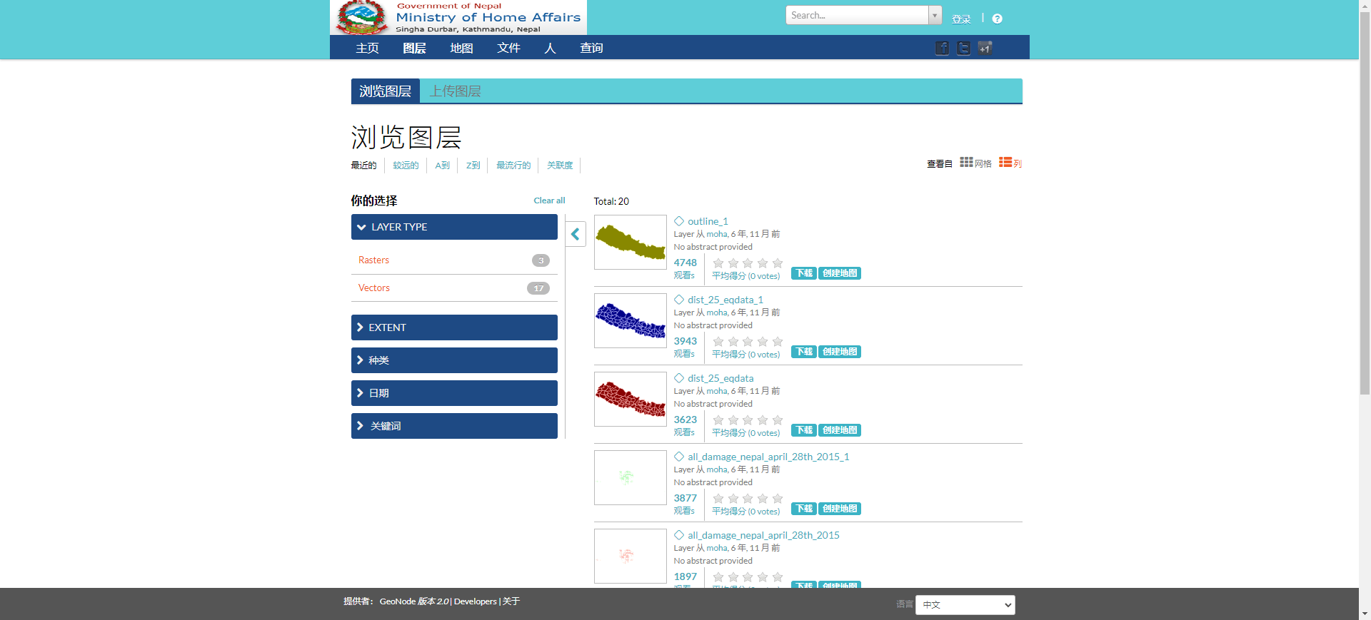
- img: https://pics.landcover100.com/pics/image/COUNTRY242.png
  link: http://drm.moha.gov.np/layers/
  name: Government of Nepal Ministry of Home Affairs Geonode
  desc: (Nepal)
  author: Login Required?No
- img: https://pics.landcover100.com/pics/image/COUNTRY243.png
  link: http://www.dolidar.gov.np/resources/download-pdf-maps/
  name: Governent of Nepal Department of Local Infrastrucutre Development
  desc: (Nepal)PDF maps; see also http://www.dolidar.gov.np/resources/dtm
  author: Login Required?No
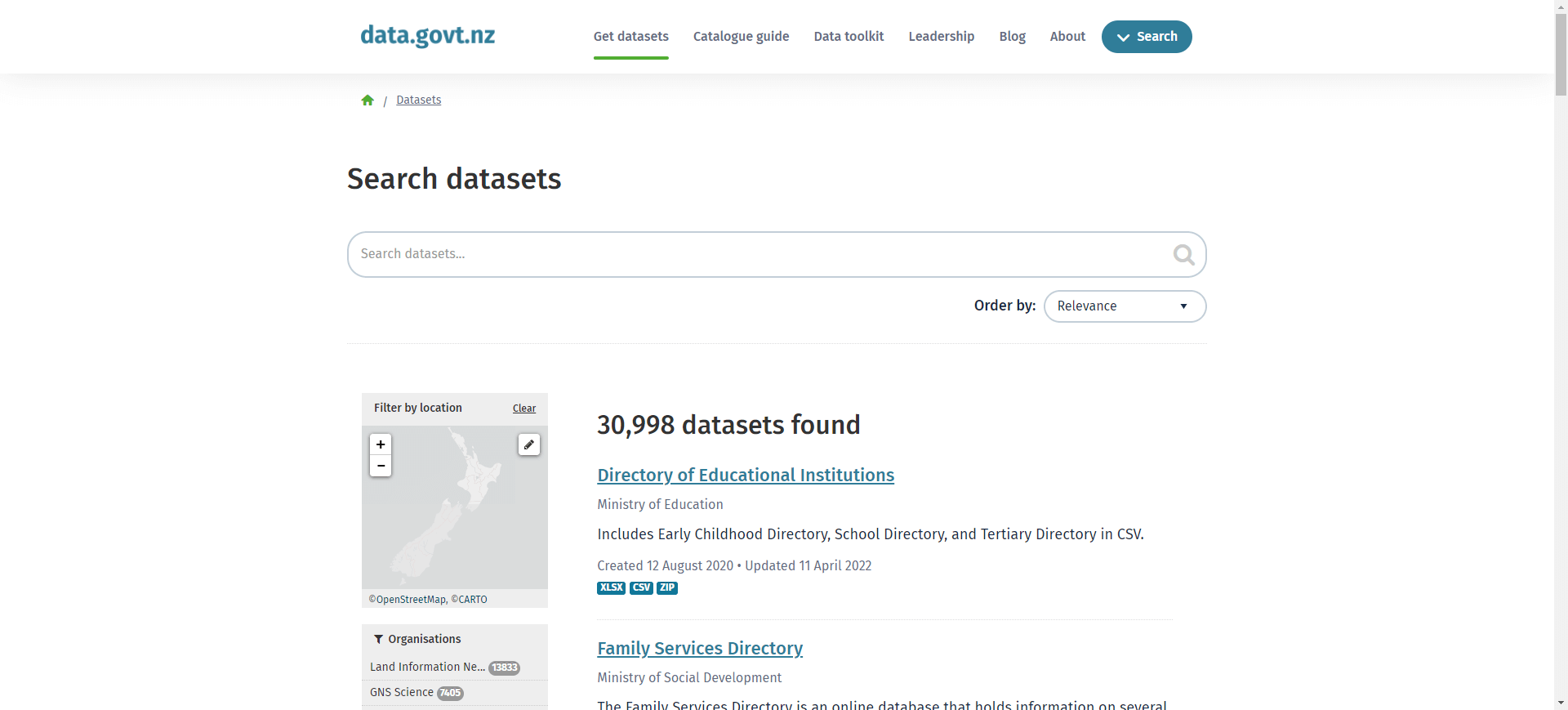
- img: https://pics.landcover100.com/pics/image/COUNTRY247.png
  link: http://data.govt.nz/catalog/
  name: data.govt.nz (New Zealand data)
  desc: (New Zealand)
  author: Login Required?No
- img: https://pics.landcover100.com/pics/image/COUNTRY249.png
  link: http://www.geographx.co.nz/downloads.html
  name: Geographix
  desc: (New Zealand)Elevation, DEM and Shoreline of New Zealand
  author: Login Required?No
- img: https://pics.landcover100.com/pics/image/COUNTRY251.png
  link: http://www.ineter.gob.ni/
  name: Instituto Nicaraguesnse de Estudios Territoriales
  desc: (Nicaragua)
  author: Login Required?No
- img: https://pics.landcover100.com/pics/image/COUNTRY253.png
  link: http://www.nipost.gov.ng/PostCode.aspx
  name: Nigeria LGA Maps and postal codes
  desc: (Nigeria)Government approved boundaries.  No shape-files--just ma
  author: Login Required?No
- img: https://pics.landcover100.com/pics/image/COUNTRY254.png
  link: http://www.fews.net/northeast-nigeria-maps-and-mapping-data
  name: FEWS NET Data for Nigeria
  desc: (Nigeria)Downloadable shapefiles and map packages including confl
  author: Login Required?No
- img: https://pics.landcover100.com/pics/image/COUNTRY259.png
  link: http://www.kartverket.no/Kart/Kartdata/Stedsnavndata/Stedsnavn-fy
  name: SSR - Sentralt stedsnavnregister (Central Place Name Register)
  desc: (Norway)Place Names in SOSI and GeoJSON- includes alternate spell
  author: Login Required?No
- img: https://pics.landcover100.com/pics/image/COUNTRY262.png
  link: http://www.pakgis.blogspot.com/
  name: PakGIS
  desc: (Pakistan)404 error July 2015
  author: Login Required?Yes
- img: https://pics.landcover100.com/pics/image/COUNTRY263.png
  link: http://pakgis.blogspot.com/2009/07/vector-datasets_22.html
  name: Pakistan GIS
  desc: (Pakistan)Provided by City Pulse (Pvt) Ltd.; raster also availabl
- img: https://pics.landcover100.com/pics/image/COUNTRY265.png
  link: http://whopak.org/index.php?option=com_phocadownload&view=section
  name: WHO Pakistan Map and Health GIS Data
  desc: (Pakistan)
  author: Login Required?No
- img: https://pics.landcover100.com/pics/image/COUNTRY266.png
  link: http://pakreport.org/
  name: PakReport
  desc: (Pakistan)Open data (csv with geocodes) for Pakistan in a range o
  author: Login Required?No
- img: https://pics.landcover100.com/pics/image/COUNTRY269.png
  link: http://www.reach-initiative.org/countries/peru/peru-resource-cent
  name: ACTED Peru Map Center
  desc: (Peru)pdf only
  author: Login Required?No
- img: https://pics.landcover100.com/pics/image/COUNTRY276.png
  link: http://geoportal.gov.pl/en/
  name: geoportal.gov.pl
  desc: (Poland)current version of the Geoportal, available at www.geopor
  author: Login Required?No
- img: https://pics.landcover100.com/pics/image/COUNTRY278.png
  link: http://sniamb.apambiente.pt/portalmetadados/index.php?option=com_
  name: Sistema Nacional de Informa
- img: https://pics.landcover100.com/pics/image/COUNTRY279.png
  link: http://www.snimar.pt/index.php?page=2&menu=3&sub=26
  name: Sistema Nacional de Informa
- img: https://pics.landcover100.com/pics/image/COUNTRY285.png
  link: http://www.iiasa.ac.at/collections/IIASA_Research/Research/FOR/ru
  name: Land Resources of Russia
  desc: (Russia)Includes admin boundaries, transportation, hydrology, lan
  author: Login Required?No
- img: https://pics.landcover100.com/pics/image/COUNTRY286.png
  link: http://guides.lib.washington.edu/content.php?pid=78069&sid=366996
  name: Russian Federation Spatial Data
  desc: (Russia)From the University of Washington Library scroll down to
  author: Login Required?Yes
- img: https://pics.landcover100.com/pics/image/COUNTRY293.png
  link: http://www.mytransport.sg/content/mytransport/home/dataMall.html#
  name: MyTransport . sg (Singapore Land Transport Authority)
  desc: (Singapore)Geospatial datatsets including traffic signs, lamp pos
  author: Data available by request, Login Required?Not downloaded
- img: https://pics.landcover100.com/pics/image/COUNTRY294.png
  link: http://washdata-sl.org/water-point-data/
  name: Sierra Leone WASH Data Portal
  desc: (Sierra Leone)Water point data; downloadable as excel sheet with
  author: Login Required?No
- img: https://pics.landcover100.com/pics/image/COUNTRY297.png
  link: http://www.gu.gov.si/en/
  name: Digital Cartographic and Geodetic Data for the Republic of Sloven
  desc: (Slovenia )Links to data samples; see http://egp.gu.gov.si/egp/?l
  author: Login Required?No
- img: https://pics.landcover100.com/pics/image/COUNTRY299.png
  link: http://www.faoswalim.org/subsites/frrmis/index.php
  name: Somalia Flood Risk and Response Management Information System
  desc: (Somalia)PDF Flood Maps
  author: Login Required?No
- img: https://pics.landcover100.com/pics/image/COUNTRY301.png
  link: http://psugeo.org/Africa/DMS/Hard%20Copy%20Maps/Somalia_Mogadishu
  name: Mogadishu City Plan
  desc: (Somalia (Mogadishu))PDF
  author: Login Required?No
- img: https://pics.landcover100.com/pics/image/COUNTRY303.png
  link: http://idechg.chguadalquivir.es/geoportal/en/services/downloads.h
  name: Department of Water Affairs
  desc: (South Africa)Check SA natiional metadata portal  http://nsif.dla
  author: Login Required?No
- img: https://pics.landcover100.com/pics/image/COUNTRY304.png
  link: http://www.sggis.gov.gs/login.jsp
  name: South Georgia Geographic Information System
  desc: (South Georgia and the South Sandwich Islands)Guest user can expo
  author: Login Required?Yes
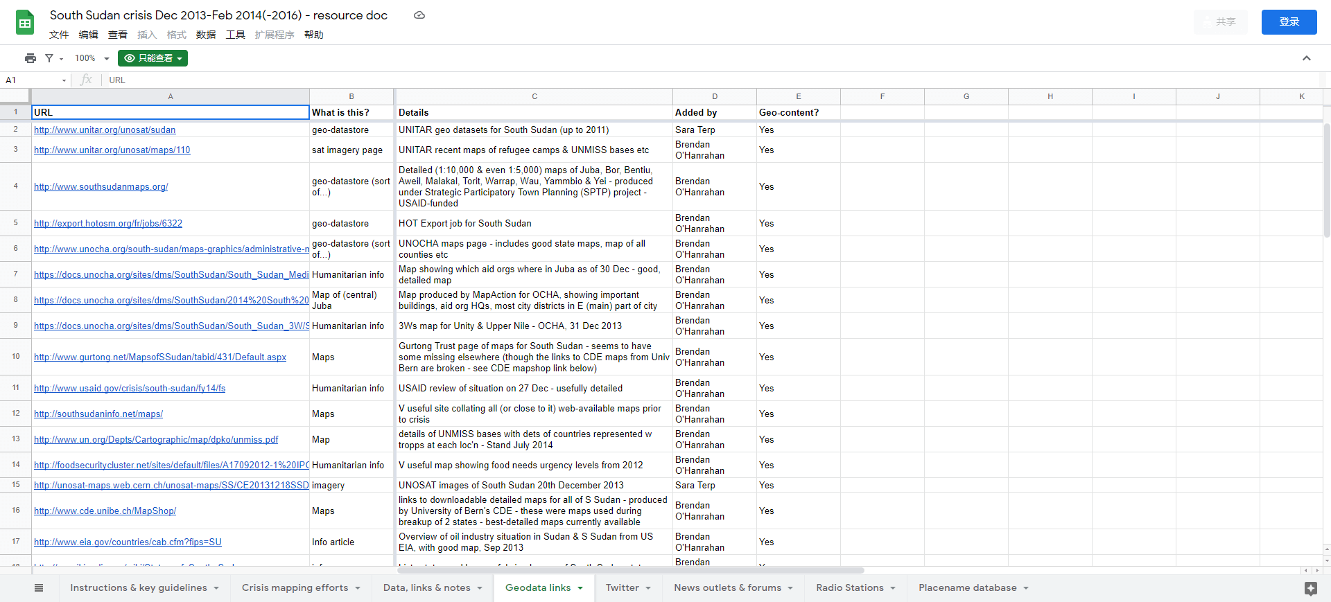
- img: https://pics.landcover100.com/pics/image/COUNTRY305.png
  link: https://docs.google.com/spreadsheets/d/1DNHAVFFKs4dDr4uaGHW9Dhsf9
  name: South Sudan crisis Dec 2013-Feb 2014 - resource doc
  desc: (South Sudan)On the Geodata Links tab, links to geodata stores, i
  author: Login Required?No
- img: https://pics.landcover100.com/pics/image/COUNTRY306.png
  link: http://www.cde.unibe.ch/MapShop/
  name: South Sudan Map Shop
  desc: (South Sudan)Download links for five map sheets at 1:500,000 (as
  author: Login Required?No
- img: https://pics.landcover100.com/pics/image/COUNTRY312.png
  link: http://opendata.bcn.cat/opendata/en/
  name: Madrid Open Data Portal
  desc: (Spain (Barcelona))
  author: Login Required?No
- img: https://pics.landcover100.com/pics/image/COUNTRY313.png
  link: http://dadesobertes.gencat.cat/en/index.html
  name: Open Data gencat
  desc: (Spain (Catalonia))
  author: Login Required?No
- img: https://pics.landcover100.com/pics/image/COUNTRY315.png
  link: http://datos.madrid.es/portal/site/egob/menuitem.9e1e2f6404558187
  name: Madrid Open Data Portal
  desc: (Spain (Madrid))
  author: Login Required?No
- img: https://pics.landcover100.com/pics/image/COUNTRY317.png
  link: http://www.humanitarianinfo.org/sriLanka_hpsl/MapCenter.aspx
  name: OCHA - Humanitarian Portal - Sri Lanka
  desc: (Sri Lanka)Offline as of 25June2015
  author: Login Required?No
- img: https://pics.landcover100.com/pics/image/COUNTRY318.png
  link: http://www.cde.unibe.ch/tools/sudan/mapshop/
  name: Center for Development and Environment
  desc: (Sudan)
  author: Login Required?No
- img: https://pics.landcover100.com/pics/image/COUNTRY319.png
  link: http://unitar.org/unosat/sudan
  name: Geospatial Data for Sudan (UNITAR/UNOSAT)
  desc: (Sudan)Created in support of 2011 S. Sudan referendum - no longer
  author: Login Required?No
- img: https://pics.landcover100.com/pics/image/COUNTRY329.png
  link: http://www.swisstopo.admin.ch/internet/swisstopo/en/home/products
  name: Swiss Topo
  desc: (Switzerland)Canton boundaries, lakes, municipalities, zip code,
  author: Login Required?No
- img: https://pics.landcover100.com/pics/image/COUNTRY332.png
  link: http://www.tzgisug.org/wp/qgis-example-data-for-tanzania-2/
  name: QGIS example data for Tanzania
  desc: (Tanzania)border, lakes, regions, protected areas, December 2011
  author: Login Required?No
- img: https://pics.landcover100.com/pics/image/COUNTRY333.png
  link: http://ramanihuria.org/data/
  name: Dar Ramani Huria / Dar Open Map
  desc: (Tanzania (Dar Es Salaam))Community mapping; data in OSM - this s
  author: Login Required?No
- img: https://pics.landcover100.com/pics/image/COUNTRY342.png
  link: http://www.wri.org/publication/uganda-gis-data
  name: Uganda GIS Data
  desc: (Uganda)Includes base data
  author: Login Required?No
- img: https://pics.landcover100.com/pics/image/COUNTRY344.png
  link: http://www.ulrmc.org.ua/
  name: Ukrainian Land and Resource Managment Center
  desc: (Ukraine)Links to some imagery, pesticides, biodiversity data and
  author: Login Required?No
- img: https://pics.landcover100.com/pics/image/COUNTRY345.png
  link: http://inform.ikd.kiev.ua/index.php?path=/en/services
  name: Ukraine Department of Space Information Technologies and Systems
  desc: (Ukraine)Links to sets of services (http://inform.ikd.kiev.ua/ind
  author: Login Required?No
- img: https://pics.landcover100.com/pics/image/COUNTRY346.png
  link: http://edina.ac.uk/digimap/description/
  name: Digimap
  desc: (United Kingdom)Only avaiable to UK tertiary education partners
  author: Login Required?No
- img: https://pics.landcover100.com/pics/image/COUNTRY348.png
  link: http://www.ordnancesurvey.co.uk/oswebsite/
  name: Ordance Survey
  desc: (United Kingdom)
  author: Login Required?Yes
- img: https://pics.landcover100.com/pics/image/COUNTRY349.png
  link: http://wiki.osgeo.org/wiki/Public_Geodata_for_the_UK
  name: Public Geodata for the UK
  desc: (United Kingdom)Links to Ordanance Survey and other UK sources; s
  author: Login Required?No
- img: https://pics.landcover100.com/pics/image/COUNTRY352.png
  link: http://www.scottish-places.info
  name: Gazeteer for Scotland
  desc: (United Kingdom Scotland)Clickable maps of towns
  author: Login Required?No
- img: https://pics.landcover100.com/pics/image/COUNTRY353.png
  link: http://www.data.gov/catalog/geodata
  name: Data.gov
  desc: (United States)
  author: Login Required?No
- img: https://pics.landcover100.com/pics/image/COUNTRY357.png
  link: http://www.tetrad.com/maps_and_data/usa/navteqoracle.html?gclid=C
  name: US Streets (NAVTEQ)
  desc: (United States)Oracle Spatial 10g or 11g
  author: Login Required?No
- img: https://pics.landcover100.com/pics/image/COUNTRY358.png
  link: http://www.usgs.gov/pubprod/data.html#data
  name: USGS downloadable data
  desc: (United States)Topo sheets available here http://store.usgs.gov/
  author: Login Required?No
- img: https://pics.landcover100.com/pics/image/COUNTRY362.png
  link: http://www.ine.gub.uy/mapas/descargas.asp
  name: Instituto Nacional de Estadistica Republica Oriental del Uruguay
  desc: (Uruguay)Detailed downloadable pdf maps
  author: Login Required?No
- img: https://pics.landcover100.com/pics/image/COUNTRY365.png
  link: http://leutra.geogr.uni-jena.de/vgtbRBIS/metadata/overview.php?view=geodata
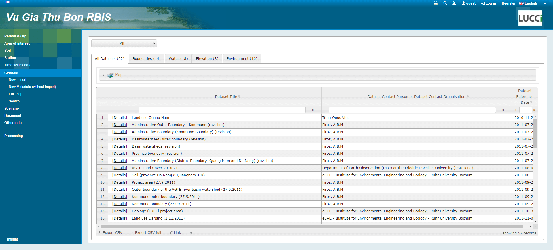
  name: Vu Gia Thu Bon River Basin Information System
  desc: (Vietnam)Admin, landcover, river basin,geology, topography, landuse etc.
  author: Login Required?Yes
导航表格 有一些网站是没有加载出来的,就没有做成贴片。更详细的信息见下表:
| Portal | Web Address | Notes |
|---|---|---|
| Abu Dhabi Geospatial Portal | http://geoportal.abudhabi.ae/geoportal/catalog/search/search.page | It doesn't look like any of the data is downloadable - metadata only. Link to map viewer here: https://geoportal.abudhabi.ae/mapviewer/index.html; printable map book here: http://media.abudhabi.ae/pdfdirectview/index.jsp?catalogID=157490&lang=en&KeepThis=true&TB_iframe=true |
| Afghanistan Election Data | http://afghanistanelectiondata.org/open | Includes Election data but also landcover, ethnic groups |
| AIMS | http://www.aims.org.af/ | |
| OCHA Afghanistan Map and Data Centre | http://afg.humanitarianresponse.info/mapcentre | |
| USGS Datasets for Afghanistan | http://afghanistan.cr.usgs.gov/geospatial-reference-datasets | Landsat (ETM), ASTER, Elevation, SRTM, geology, , Soviet 200K topo series, aerial photos. Download photos through http://afghanistan.cr.usgs.gov/flash.php |
| Albania Data | http://tpginc.net/gis/albania/albania.php | ESRI Shapes at the national, regional and city levels |
| Bunker Trails (Albania Data) | http://www.bunkertrails.org/maps.php | Includes GPS basemap (settlements, admin, topo, hydro, transport), 50K and 100K Soviet topo series and some trails (trails available as GPX or KML files) |
| Administrative Division of Algeria | https://github.com/mohsenuss91/AlgerianAdministrativeDivision | Wilayas - Daïras - Baladiyahs; xml; looks like lists of admin divisions in French and Arabic but no geographic data |
| American Samoa GIS User Group | http://gis.doc.as/resources/data.html | Boundaries, Census, Hazards, Hydro, Infrastructure, Parcels, Public Health |
| Fagatele Bay GIS Data Archive | http://dusk.geo.orst.edu/djl/samoa/ | Digital Raster Graphics (DRGs) w/metadata of West and East Tutuila, also census stats, boundaries, bathymetry, , coastline, buildings |
| Cartografia SIG (Sistema d'Informacio Geografica i Mediambiental d'Andorra) | http://iea.ad/cartografia/cartografia-sig | Map services via http://iea.ad/cartografia/sma-servidor-de-mapes-d-andorra |
| Angola Map (JRC/RELEX/ECHO/IPSC) | [http://psugeo.org/Africa/DMS/Hard%20Copy%20Maps/AngolaTopoA0.pdf](http://psugeo.org/Africa/DMS/Hard Copy Maps/AngolaTopoA0.pdf) | PDF - detailed place names, and other features includes portions of bordering countries |
| OAS Post-Georges Disaster Mitigation (PGDM) GIS Data | http://www.oas.org/pgdm/data/gis_data.htm | Downloadable shapes and DEMs |
| GeoNode for Antigua and Barbuda | http://geonode.data.gov.ag/ | |
| Instituto Nacional de Estadística y Censos - Argentina | http://www.indec.mecon.ar/nuevaweb/cuadros/1/total_prov.zip | Looks like p-codes (table) (Código de localidades actualizado) |
| Buenos Aires Data | http://data.buenosaires.gob.ar/ | |
| Gazetteer of Australia Place Name Search | http://www.ga.gov.au/place-name/ | The Gazetteer of Australia 2010 release is available for download |
| Australian Mines Atlas | http://www.australianminesatlas.gov.au/ | Geology (Mines) |
| Australian Spatial Data Directory | http://asdd.ga.gov.au/asdd/ | |
| Data.gov.au (Australian government data) | http://data.gov.au/data/ | |
| Environment Australia (EA) Online | http://www.environment.gov.au/erin/ | |
| Geoscience Australia | http://mrw.so/5DHfEG | |
| FIND | http://find.ga.gov.au/ | |
| OzCoasts - Australian Online Coastal Information | http://www.ozcoasts.gov.au/search_data/datasets.jsp | Habitata, and National Land and Water Resources |
| data.nsw | http://data.nsw.gov.au/ | |
| NSW Spatial Services | https://six.nsw.gov.au/ | NSW wide databases of Cadastral and Topographic information: online viwers, data catalogues, OGC and ESRI services, PDF maps, KML with transportation, imagery, admin boundaries, statistics, POI, parcel and historical data. No login required, except for GNSS tracking station data. |
| NSW Land and Property Information Web Services | http://maps.six.nsw.gov.au/arcgis/rest/services/public/ | ESRI Map and WMS endpoints. More information and metadata http://www.lpi.nsw.gov.au/mapping_and_imagery/lpi_web_services/access_lpi_web_services |
| Atlas of South Australia | http://www.atlas.sa.gov.au/go/about/current-data-layers | |
| VicMap Data | http://www.data.vic.gov.au/ | |
| Austrian Umwelt Bundesamt | http://www.uok.bayern.de/portal/index_ew.htm | |
| open government data Austria | http://www.datenkatalog.at/ | |
| GeoDASH | http://geodash.gov.bd/ | Download data or create map in the platform; site in maintenience until Sept 30, 2016. Looks like a geonode instance. |
| Bahrain Locator | http://www.bahrainlocator.gov.bh/ | May only be webapp (not downloadable). List of other Bahrain apps here: http://www.cio.gov.bh/cio_eng/Default_GIS.aspx |
| Belgium open data initiative | http://data.gov.be (opens new window) | |
| Geoportail de la Wallonie | http://geoportail.wallonie.be/en/home.html | covering French speaking southern Belgium |
| Belize Biodiversity Clearing House Mechanism | http://www.biodiversity.bz/ | Primarily biodiversity |
| Geonode Belize | http://geoserver.bnsdi.gov.bz/ | |
| National Water Information System | In french; admin units, localities, hydrology, transport | |
| GeoBolivia (Infraestructura de Datos Expaciales del Estado Plurinacional de Bolivia) | http://www.geo.gob.bo/ | Inlcudes data catalogue (Geonetwork), interactive viewer and archive of shapfiles (latter at http://www.geo.gob.bo/?ShapeFiles) |
| GeoSINAGER | http://geosinager.defensacivil.gob.bo/ | Geonode |
| Botswana National Atlas | http://www.atlas.gov.bw/ | Can order atlas - runs in ArcExplorer or ArcView 3.2 |
| Botswana NGIS Metadata Service | http://www.ngis.gov.bw/metadata/search.asp | Metadata only, very few records, no links to downloadable data. Data request service here: http://www.ngis.gov.bw/05-3_svg.asp |
| Instituto Brasileiro de Geografia e Estatística | http://www.ibge.gov.br/home/ | download section http://ibge.gov.br/home/download/geociencias.shtm |
| ipeadata | http://www.ipeadata.gov.br/Default.aspx | |
| Ministreio do Meio Ambiente (MMA) Geonetwork Catalogue | http://mapas.mma.gov.br/geonetwork/srv/br/main.home | See also http://www.mma.gov.br/governanca-ambiental/geoprocessamento and http://mapas.mma.gov.br/i3geo/datadownload.htm for other services |
| Open Data Burkina Faso | data.gov.bf (opens new window) | |
| Cabo Verde SDI Live Services | http://arcgis.gov.cv/adaptor/rest/services/ | Large range of map services. To extract data consume map endpoint in qgis as feature service and extract to local copy |
| OpenDevelopment Downloads | http://www.opendevelopmentcambodia.net/downloads/ | Mostly natural resource areas, water resources, economic zones, census, also radio stations and their reach; pdf, kml, shp; CCSA |
| GeoCameroun | www.geocameroun.cm (opens new window) | historical maps, modern maps, city maps, aerial photographs, administrative boundaries, POI - not clear how to download the data |
| Atlas of Canada | http://atlas.nrcan.gc.ca/site/english/index.html | |
| Canadian open data | http://www.data.gc.ca/ | |
| GeoConnections Canada | http://geodiscover.cgdi.ca/web/guest/home | Includes links to other canadian portals |
| GeoGratis | http://geogratis.cgdi.gc.ca/ | |
| National Ecological Framework for Canada | http://sis.agr.gc.ca/cansis/nsdb/ecostrat/intro.html | Ecozones, Canada Land Inventory, Soil |
| National Ecological Framework for Canada | http://sis.agr.gc.ca/cansis/nsdb/ecostrat/intro.html | Ecozones |
| Natural Resources Canada | http://geogratis.cgdi.gc.ca/geogratis/en/index.html | Natural resources, georeferenced points, land cover, canada land inventory, etc. See also http://geogratis.gc.ca/geogratis/search?lang=en; includes Clip, Zip & Ship, cached Basemap and API |
| Statistics Canada | http://www.statcan.gc.ca/mgeo/index2-eng.htm | Statistics (includes road, postal, and boundary files) |
| Toronto Open Data | http://mrw.so/5SJDdU | Bike lanes, Wards and parks |
| British Columbia Geological Survey | http://www.empr.gov.bc.ca/MINING/GEOSCIENCE/Pages/default.aspx | Geology |
| BC Geographic Warehouse | http://www.data.gov.bc.ca/dbc/geo/index.page | |
| Service New Brunswick | http://www.snb.ca/gdam-igec/e/2900e_1.asp | |
| Nova Scotia Canada DNR Digitial Products | http://www.gov.ns.ca/natr/meb/pubs/pubs3.asp | Mineral Resources, ground water, land-use and habitat, Hurrican Juan data |
| Nova Scotia Geographic Catalogue | http://gis13.nsgc.gov.ns.ca/searchmetadata/search.aspx | |
| The Government of Prince Edward Island, CA GIS data | http://www.gov.pe.ca/gis/index.php3?number=77868 | |
| Yukon Highways and Public Works | http://www.geomaticsyukon.ca/ | Includes admin boundaries |
| US National Atlas data (small scale) | http://nationalatlas.gov/atlasftp-na.html | zipped and tar'ed e00 files |
| Sistema de Informacao Territorial de Cabo Verde (Territorial Information System of Cape Verde) | http://www.sit.gov.cv/ | Service catalogue for WMS |
| Forest Atlas for Central African Republic | http://www.wri.org/publication/interactive-forest-atlas-central-african-republic | |
| OCHA Office in the CAR | http://www.hdptcar.net/maps | mostly pdfs but also downloadable kmz for CAR with admin boundaries, populated places, routes. No login required |
| Forest Atlas for Central African Republic | http://www.wri.org/publication/interactive-forest-atlas-central-african-republic | Forest Resources |
| Servicio Nacional de Geologia y Mineria | http://sernageomin.cl/ | Geology oriented - has live status updates and webcams of volcanos around country ; see portal at http://geoportal.sernageomin.cl/geoportal/catalog/main/home.page |
| ONEMI: Oficina Nacional de Emergencia del Ministerio del Interior (Chilean National Office of Emergency of the Interior Ministry) | http://www.onemi.cl/documentos/categoriamapas.html | jpg base maps |
| Infraestructura de Datos Geoespaciales (IDE) Chile Download Data Site | http://www.ide.cl/descarga/capas.html | Download link for shapefiles, grouped by theme; geoportal also online. IDE is SDI in English, the National catalog of Geospatial Information, managed by the Ministerio de Bienes Nacionales (Ministry of nacional assets) |
| Infraestructura de Datos Geoespaciales (IDE) Chile Geoportal | http://geoportal.cl/Visor/ | Chile IDE geoportal; non-spatial download links also available |
| China Dimension (CIESIN at Columbia University) | http://sedac.ciesin.columbia.edu/china/index.html | |
| China Historical GIS | http://www.fas.harvard.edu/~chgis/ | |
| China In Time And Space (CITAS) | http://citas.csde.washington.edu/data/data.html | |
| E-city: 3-D maps of Chinese cities | http://edushi.com/ | In Chinese |
| Harvard China Data Center | http://www.fas.harvard.edu/~chgis/data/ | |
| UM-SIC China Data Network Free Online Data | http://chinadatacenter.org/Data/FreeDataDownload.aspx | Copy and paste URL from metadata into browser to download data |
| Map World (App only) | http://en.tianditu.com/map/index.html | You can add points, lines, polys, (and even submit edits), but I don't see an option to download data; chinese version: http://www.tianditu.cn/map/index.html |
| Library of Congress Contemporary Maps for Macau | http://mrw.so/67QI9F | Downloadable, ungeoreferenced base maps |
| Shanghai City maps | http://www.shanghai.gov.cn/shanghai/node17256/node17895/index.html | Flat maps only - no data. |
| Sistema De Informacion Geografica Para La Planeacion Y El Ordenamiento Territorial (SIG-OT Instituto Geográfico Agustín Codazzi) | http://sigotn.igac.gov.co/sigotn/ | |
| Sala Humanitaria | http://www.salahumanitaria.co/es/search/type/map | |
| Sistema de Informacion Integrado de Information Humanitaria para Colombia (SIDIH-OCHA) | http://sidih.colombiassh.org/ | See also http://geoportal.igac.gov.co/ssigl2.0/visor/galeria.req?mapaId=7&title=Mapa%20Base |
| OCHA Colombia Geonode | http://geonode.colombiassh.org/ | |
| Costa Rica GIS Data Clearinghouse | http://jabiru.ots.ac.cr/sig_p_rich/metadata/index.htm | Mirrored ftp at the University of Kansas: ftp://wiley.kars.ku.edu/cr/metadata/catalog.htm |
| National Territorial Information System (in Spanish SNIT) | http://www.snitcr.org/index.php?option=com_content&view=article&id=11&Itemid=29 | connection parameters for OGC services, Costa Rica land information |
| Croatia State Geodetic Administration | https://geoportal.dgu.hr/ | In Croatian |
| Geoportal SGA WMS | http://geoportal.dgu.hr/wms (opens new window) | In Croatian; doqqs, basemap (1:5K), topo maps, cadastre; see also http://geoportal.dgu.hr/ |
| ESRI GIS servers in Czech Republic | http://www.arcdata.cz/produkty-a-sluzby/gis-on-line/verejne-mapove-sluzby/ | ESRI web applications in Czech Republic |
| Geoportal of COSMC | http://geoportal.cuzk.cz/(S(omrvif55ns0excyjkttropnh))/Default.aspx?head_tab=sekce-02-gp&mode=TextMeta&text=dSady_uvod&menu=20&news=yes | Applications of Czech Office of Surveying, Mapping and Cadastre |
| Czech National Geoportal | https://geoportal.gov.cz/web/guest/home | |
| North Korea Uncovered | http://www.nkeconwatch.com/north-korea-uncovered-google-earth/ | KMZ of point features; direct file link: https://gec-earth-browsing-moderated-a-googleproductforums-com.googlegroups.com/attach/ac476b4be51112f1/794966.kmz?gda=wTzAl0cAAABKWKETK6rZOWOIikJuxpmkUQ_R0accd40vQB-xPNxu2oAoZuvipWyhg3IB1dADlZQbQwFxJw55cVwemAxM-EWmeV4duv6pDMGhhhZdjQlNAw&pli=1&part=3 |
| Ministère des Infrastructures, Travaux Publics et Reconstruction (MITPR) Référentiel Géographique Commun/Données vectorielles (Department of Infrastructure, Construction and Reconstruction Common Geographic Reference/Vector Data) | http://www.rgc.cd/site/index.php?option=com_phocadownload&view=section&id=1&Itemid=59 | Includes downloadable shapefiles of provinces, preserved areas, contours, hydrology. Raster data not yet available but the placeholder is here:http://www.rgc.cd/site/index.php?option=com_phocadownload&view=section&id=11&Itemid=60 |
| MapX | https://app.mapx.org/ | Web mapping app, currently only covering DRC but may expand; download links in each layer. Joint project of UN Environment, the World Bank and the Global Resource Information Database (GRID-Geneva) |
| Denmark's national mapping agency | http://www.kms.dk/ | Includes Greenland and Faroe Islands. Nautical charts, geodesy and cadastral data, topo data, satellite imagery, place names. See also http://eng.gst.dk/ |
| Digitalisér.dk | http://digitaliser.dk/ | In Danish; social network tool for the digitisation of Denmark; data in Kataloger tab |
| Geodata-info.dk (opens new window) | http://www.geodata-info.dk/Portal/About.aspx | Danish only |
| DomiNode! | http://dominode.dm/ | Geonode instance |
| Ecuador GIS Data | http://rslultra.star.ait.ac.th/~souris/ecuador.htm | Provinces, cities, volcanos and DEM; includes Galapagos Islands; please credit source |
| RedCEDIA SDI Catalog Connector | http://ide.cedia.org.ec:8085/catalogConnector/ | May need to be a member of the Academic Network of Ecuador or the Ecuadorian Consortium for Advanced Internet Development (CEDIA) to participate |
| Sistema Nacional de Informacion | http://sni.gob.ec/web/guest/coberturas;jsessionid=DB121864908E02F0EF4D12E0FCCCD0CC | Schools, health centers, volcano and landslide susceptibility , power stations, transportation, admin boundaries, soil and environmental data, imagery. See http://sni.gob.ec/web/guest/servicios-wms for map and catalogue services |
| IGM Catalogo de Datos (Military Geographic Institute) | http://www.geoportaligm.gob.ec/portal/index.php/catalogo-de-datos/ | See http://www.geoportaligm.gob.ec/portal/index.php/geoservicios/ for WMS, WFS, CSW |
| Egypt National Authority for Remote Sensing and Space Science (NARSS) Geoportal | http://geoportal.narss.sci.eg/opengeoportal/ | OGP instance; Dec2016 I'm having trouble viewing holdings so it's not clear if this is Egypt only data or if they have holdigns from other countries. According to documentation it serves raster and vector data and scanned maps |
| Geoportal del Centro Nacional de Registros | http://cloud.cnr.gob.sv/CNRcloud/ | Looks like viewer only (no download) but WMS/AGS connections here: http://www.cnr.gob.sv/index.php?option=com_content&view=article&id=953&Itemid=327. Rest catalogue: http://cloud.cnr.gob.sv/ArcGIS/rest/services/SVWGS84 |
| Forest Atlas of Equatorial Guinea | http://www.wri.org/applications/maps/forestatlas/gnq/index.htm#v=atlas&l=es | Downloads as shape/kml/raster: settlements, roads, forest cover, admin boundaries in English and Spanish |
| Water and Land Resources Information System (WALRIS) | http://walris.wlrc-eth.org/security/user/login | Description indicates "patial and non-spatial database of water and land resources of Ethiopia." I created an account but didn't see resources (March 2014) |
| Ethiopian National Spatial Data Infrastructure (ENSDI) Geoportal | http://www.ethnsdi.gov.et/ | Catalogue for downloads and portal for online mapping, also provides URLs for services; some links to WALRIS that require separate login |
| Kansalaisen karttapaikka - Mapsite | http://kansalaisen.karttapaikka.fi/kartanhaku/osoitehaku.html?e=406643&n=7195132&scale=8000000&width=600&height=600&tool=siirra&lang=en | |
| National Land Survey of Finland (NLS) | http://www.maanmittauslaitos.fi/en | On 1 May 2012, the National Land Survey of Finland (NLS) will open its topographic datasets to the public and to companies to be used freely and free of charge |
| Paikkatietoikkuna - Map Window (Finnish Geoportal) | http://paikkatietoikkuna.fi/web/en/map-window | |
| National Land Survey of Finland (NLS) file service of open data | https://tiedostopalvelu.maanmittauslaitos.fi/tp/kartta?lang=en | |
| France - Catalogue de l'Institut français de l'environnement (IFEN) | http://www.statistiques.developpement-durable.gouv.fr/cartographie/750.html | Web App, Sustainable Development |
| French opendata source | http://www.data.gouv.fr (opens new window) | wide range of data available in various formats |
| Geoportail | http://www.geoportail.fr/changeLangue.do?lang=en&cty=UK | |
| ParisData | http://opendata.paris.fr/opendata/jsp/site/Portal.jsp | |
| Forest Atlas for Gabon | http://www.wri.org/publication/interactive-forestry-atlas-gabon | |
| Austrian Umwelt Bundesamt | http://www.uok.bayern.de/portal/index_ew.htm | |
| German Geoportal | http://www.geoportal.de/EN/Geoportal/Services/Spatial-Data-and-Services-in-Web/_functions/germany/germany_table.html?lang=en | Links to other german geoporals by region and theme and some neighboring/related portals (Europe, Austria, Switzerland, France, Netherlands) |
| German National Data Portal | https://www.govdata.de (opens new window) | |
| German Environmental Information Portal | http://www.portalu.de/ | Look for the tag Geographie, Geologie und Geobasisdaten |
| NIBIS GIS | http://nibis.lbeg.de/cardomap3/ | GIS aggregation service allowing you to display and download maps |
| Frida | http://frida.intevation.org/ | Data included in OpenStreetMap |
| LVermGeo (State Office for Surveying and Geoinformation) | https://www.lvermgeo.sachsen-anhalt.de/de/geoservice/wms/main.htm | WFS and WMS topo sheets, 3D building models, state, county and municipal administrative boundaries, parcel, address and cadastre layers, imagery; some data also downloadable as pdf, tiff (map products), excel, csv and shapefiles |
| Ghana Agricultural GIS online Platform | http://www.gis4ghagric.net/ | Landuse, soil, climate, crops, topography, facilities |
| Greek Open Data | http://open-data.okfn.gr/ | geospatial tag γεωχωρικά δεδομένα |
| Geodata.gr (opens new window) | http://geodata.gov.gr/geodata/ | View English version through google translate:http://translate.google.com/translate?hl=en&sl=el&tl=en&u=http%3A%2F%2Fgeodata.gov.gr%2F |
| Guam Geoportal | http://geoportal.guam.gov/geoportal/catalog/main/home.page | In development as of 26April2012 |
| Guam Mapping Data | http://transition.fcc.gov/oet/info/maps/guam/ | Boundary only - digitized from a CIA map book (mapinfo format) (made available by FCC) |
| Guam Power Authority Underground Location Map | http://guampowerauthority.com/gpa_authority/engineering/documents/cip_underground_location_map.pdf | PDF, includes power stations, major roads; Flash version: http://www.guampowerauthority.com/gpa_authority/engineering/gpa_underground_map_fla.html |
| Guam Water Authority Drinking Water System | http://www.guamwaterworks.org/documents/WaterSystemDescriptionFinal.pdf | PDF - see page 1-2; also wells and spring locations |
| Guam Water Authority SewageTreatment Plants | [http://www.guamwaterworks.org/Adobe%20Files/WRMP/vol3/3-5%20Wastewater%20Treatment%20Facilities%20Final.pdf](http://www.guamwaterworks.org/Adobe Files/WRMP/vol3/3-5 Wastewater Treatment Facilities Final.pdf) | PDF - see page 5-2; Sewers and Unsewered Properties here: http://www.guamwaterworks.org/Adobe%20Files/WRMP/vol3/3-6%20Septic%20Systems%20Final.pdf (pg 6-2) |
| Port Authority of Guam Map | http://www.portguam.com/maritime-operations/facilities/maps-and-photos# (opens new window) | Designated use areas; jpeg |
| Instituto Geografico Nacionale de Guatemala | http://www.ign.gob.gt/paginaign/GeoPortal.aspx | GeoPortal doens't appear to be working - see also http://geoportal.marn.gob.gt:8080/visor/ |
| Guatemala Spatial Data Infrastructure (SDI) portal | http://ide.segeplan.gob.gt/ | Try also http://www.segeplan.gob.gt/2.0/ |
| Guyana Geoportal | http://www.geoserver.ggmc.gov.gy/ | |
| HaitiData | http://haitidata.org/ | |
| Hati Camps | http://www.eshelter-cccmhaiti.info/jl/index.php?option=com_content&view=article&id=69&Url=7 (opens new window) | Haiti displacement camps as kmz |
| Oak Ridge Labs HAITI Dataset | https://www.ornl.gov/ccsd_registrations/landscan/haiti_registration.cfm | No documentation, looks like Landscan data |
| US Census - Demobase Haiti | http://egeoint.nrlssc.navy.mil/haiti/ | |
| GovHK Data.One | http://www.gov.hk/en/theme/psi/datasets/ | Includes real time traffic and Geo-referenced public facility data: government offices, schools, libraries, GovWiFi premises, cultural and sports facilities and hospitals |
| Hong Kong Data One | http://www.gov.hk/en/theme/psi/welcome | |
| Open Data Hungary | http://opendata.hu/ | Földrajzi-Térkép [Geographic information] |
| Hungarian GeoPortal | http://geo-portal.hu/geo/ | |
| National Land Survey of Iceland Free Digital Data | http://www.lmi.is/en/stafraen-gogn/ | Includes IS 50V (contour lines and height points, structures, boundaries, transportation, hydrology, coastal line, surface and place names) and other dataset downloads as gdb, shp and dwg and WMS; PDF maps; aerial photos and survey data; see also geoportal at: http://gatt.lmi.is/geoportal122/catalog/main/home.page |
| European Environment Agency Reference Grids of Iceland | http://www.eea.europa.eu/data-and-maps/data/eea-reference-grids-2/gis-files/iceland-shapefile | Shapefiles: 1, 10 and 100 KM grids covering Iceland |
| India Hydrological Information System | http://gisserver.civil.iitd.ac.in/grbmp/iitg.htm | Mostly water related (DEM, water bodies,wells, etc.) but also admin boundaries, |
| Bhoosampada | http://applications.nrsc.gov.in/ | Satellite derived Land Use/Land Cover and Flood Hazards |
| BHUVAN | http://bhuvan.nrsc.gov.in/bhuvan/ | Image data from Indian National Remote Sensing Centre. |
| Centre for Climate Change Research | http://cccr.tropmet.res.in/cccr/getUI.do?dsid=id-69d15c3841&varid=IMD_Daily-id-69d15c3841&auto=true | 1 decimal degree gridded daily rainfall data for the Indian sub-continent. Data can be downloaded in NetCDF format for the period 1951-2008 |
| Data Portal India (Beta) | http://data.gov.in/catalogs/?filter=catalog_type%3Acatalog_type_raw_data | Beta release is non-spatial data only - should include spatial data as it develops |
| Election Comission of India | http://eci.gov.in/eci_main/GisLayers/gis_layers.asp | Includes boundary data |
| NSDI India GeoPortal | http://nsdiindia.gov.in/nsdi/nsdiportal/index.jsp | Indian Remote Sensing Centre- free medium resolution satellite and DEM data. |
| Village Information System (GeoSearch) | http://gismp.nic.in/GeoSearch/ | application providing detailed information (demography, infrastructure and natural resources) for every village, district and state, including political boundaries; census data 1991-2001; can print or download hardcopy maps but I couldn't get the application to load so I don't kow if the data is available |
| India Geoportal | https://nsdiindia.gov.in/nsdi/welcome.html | |
| Tahsils Census 2001 | https://app.box.com/s/vljeiolbqhx2hwyz8qxs | admin 3 dataset |
| Delhi Spatial Data Infrastructure portal | http://delhi.gov.in/wps/wcm/connect/doit_geo/GEO/Home/DSSDI+Portal/DSSDI+Portal | may not be operational yet |
| Kerala Spatial Data Infrastrucuture (BETA) | http://ksdi.kerala.gov.in/KSDI/ | Try also http://www.keralaspatialdatabase.org/ |
| Madhya Pradesh Geoportal | http://gismp.nic.in/GeomaticsDivision/GeomaticsDivision_Homepage.htm | |
| Center for Research, Promotion and Cooperation Bureau of Geospatial Information (BIG), Government of Indonesia | http://translate.google.com/translate?hl=en&sl=id&tl=en&u=http%3A%2F%2Fwww.bakosurtanal.go.id%2Fpeta-provinsi%2F | Downloadable PDF wall maps by province |
| Bakosurtanal - National Coordinating Agency for Surveying and Mapping | http://www.bakosurtanal.go.id/bakosurtanal/rbi-maps/ | You can download ungeoreferenced topo sheets |
| Iranian National Cartographic Center (NCC) | http://www.ncc.org.ir/HomePage.aspx?TabID=1&Site=NccPortal&Lang=en-US | Thematic maps,100K and 250K basemaps downloadable as unrectified jpegs - go to Products->Mapes |
| Iraq CVGMAP data | http://www.gisnet.com/catalog/software/tools/Iraq_av.php | Shapefiles; mapinfo format also available http://www.gisnet.com/catalog/software/tools/Iraq.php |
| Iraq P-Codes (from Iraq Body Count) | http://www.iraqbodycount.org/analysis/reference/download/p-codes.xls (opens new window) | Populated Places |
| OCHA Iraq Map Centre | http://ochaonline.un.org/MapCentre/tabid/2373/language/en-US/Default.aspx | |
| Iraq HIC - City Plans (Amarah) | http://www.hiciraq.org/mapcentre/geographic/cityplans/amarah/index.asp | Most of the data from this site has been removed |
| Ireland Place Names | http://www.logainm.ie/Info.aspx?menuItem=about&contentTitle=proj.machines&uiLang=en | LOD (RDF, XML, JSON); OBDL |
| Digital Chart of the World | http://www.dati.gov.it/ | |
| Sardegna Geoprotale | http://www.sardegnageoportale.it/ | searchable and downloadable metadata and data and cartographic products, WFS, WMS |
| World Heritage Italian properties | http://www.unesco.beniculturali.it/index.php?en/121/open-data | data can be downloaded (shape and CSV); WMS and WFS end endpoints available |
| Geodati (free and open) | http://www.gfoss.it/drupal/geodati | Collection of free and open geodata |
| National Geoportal WFS Catalog | http://www.pcn.minambiente.it/PCNDYN/catalogowfs.jsp?lan=en | Unita' amministrative regionali, provinciali e comunali/Regional, provincial and municipal administrative units |
| Land Information Council of Jamaica | http://www.licj.org.jm/geonetwork/srv/en/main.home | See also http://www.licj.org.jm/geonetwork/intermap/srv/en/map.getMain |
| Jamacia 2001 Community Maps | [http://statinja.gov.jm/Maps/Communities%20Maps.pdf](http://statinja.gov.jm/Maps/Communities Maps.pdf) | PDF - includes population per community (as of 2001) |
| Jamaica 2001 Enumeration Districts | [http://statinja.gov.jm/Maps/Jamaica%20EDs_2.pdf](http://statinja.gov.jm/Maps/Jamaica EDs_2.pdf) | PDF - includes some sort of p-type codes - Enumeration District is the smallest geographic unit into which Jamaica is divided to facilitate data collection for censuses and surveys; shapefiles reportedly available from the Geographic Services Unit (GSU)/Statistical Institute of Jamaica (STATIN) |
| Cariska | http://cariska.mona.uwi.edu/ | Geonode |
| Japan OpenDataMap | http://fukuno.jig.jp/2013/opendatamap | Mostly CC BY - a registry, not repo - links to City and Town websites |
| Geospatial Information Authority of Japan (GSI) | http://www.gsi.go.jp/ENGLISH/page_e30031.html | Clearinghouse link is broken but Gazetteer and other links active |
| Japan Map for Garmin Mapping GPS | http://www011.upp.so-net.ne.jp/mametaro/index-e.html | "This map covers the middle area of Japan, especially the detail information around Tokyo is included." |
| http://ckan.gsi.go.jp/ | In Japanese; | |
| Japan Meteorological Agency | http://www.jma.go.jp/en/typh/ | |
| Oak Ridge Labs Japan Dataset | https://www.ornl.gov/ccsd_registrations/landscan/japan_registration.cfm | No documentation, looks like Landscan data |
| sinsai.info (opens new window) | http://www.sinsai.info/ushahidi/?l=en_US | Crisis Mapping |
| Kenya Open Data | http://opendata.go.ke/ | Under Data Catalogue/Maps there is an option to export data |
| Virtual Kenya | http://www.virtualkenya.org/ | |
| Kenya County Boundaries | https://www.google.com/fusiontables/DataSource?docid=1ExKo2PYhClGERJI2-YdTkW5SZ0KeXQBcujkv6OA | Sub-national admin boundaries - KML in Google Fusion Tables |
| World Resources Institute Kenya Data | http://www.wri.org/publication/content/9291 | Includes base data |
| Kingdom of Bahrain Central Informatics Organisation | http://www.cio.gov.bh/cio_eng/Default_GIS.aspx | Has previws and description of GIS and Imagery holdings but not clear how to get the data. Also links to other federal agencies within Bahrain with GIS data |
| Linked Open Data Korea / Open Knowledge Korea | http://lod.seoul.go.kr/linkdata_beta/main.jsp | In beta; site source code on github http://lod.datahub.kr/projects/seoul/ (in Korean) |
| ACTED Kyrgyzstan Map Center | http://www.acted.org/en/crisis-kyrgyzstan-map-center | pdf only |
| Kyrgyzstan Disaster Risk Data Platform | http://geonode.mes.kg/ | |
| Lao PDR OSM data (timestamp Jan 2015) | http://www.openstreetmap.la/downloads | OSM xml and Shapefiles of Amenities, Buildings, National Boundary, Parks, pp, admin1, roads, rivers, lakes, routable gps map (for Garmin); POI as KMZ and GPX |
| Lao PDR Admin2 boundaries | http://revolutionarygis.wordpress.com/2014/03/08/Lao-district-data/ | Deadlink to Lao Statistics Bureau |
| Lao DECIDE portal | http://www.decide.la/account/register | English landing page: http://www.decide.la/en/; Demographic data from the 2005 population census, the 2011 agricultural census. A database of land concessions and the 2015 census data is hosted but not freely available; You can view the maps without a login, but a login (freely available) is required for more detailed analysis. |
| Lao Ministry of Natural Resources and Environment | http://dmhlao.etllao.com/ | Weather related data for the week used for flood monitoring, including rainfall by admin unit and water levels. I don't see gocodes for river stations or a data archive. Has geocodes for recent earthquakes (some sort of global service, not Lao specific) |
| UNESCO Trafficking and HIV/AIDS Project | http://www.unescobkk.org/ru/culture/diversity/trafficking-hiv/projects/gis-linked-social-sentinel-surveillence-project/unesco-gis-map-collection-new/lao-pdr/ | HIV/AIDS, Health Facilties, Migration, Population, Citizenship, Ethnics, Religions, Language |
| Greater Mekong Sub Region Information Portal | http://portal.gms-eoc.org/maps?&cmbIndicatorMapType=data# (opens new window) | Downloadable data avaiable: Airports, River Basins, Cities, Climate Change Vulnerability, Economic Corridors, Elevation, Slope, Forests, Landscapes, Protected Areas, Railways, Rivers, Sea Ports, Soils, SEZs, Tourism Sites |
| Mekong River Commission Data and Information Services Portal | http://portal.mrcmekong.org/search/search | Registraion is feely available in theory, but in practice the registration confirmation email does not get sent making log in impossible. |
| Water Land and Ecosystems - Dam Maps | https://wle-mekong.cgiar.org/maps/ | Dams completed, planned and under construction; Access requires a log-in, a log-in requires the user to complete a survey. |
| Optomising Cascades | http://www.optimisingcascades.org/resources/ | |
| Forest and Land Use Planning Platform | http://landuseplanning.la/mapper/ | Land Use Zones, Current Land Use and Satellite Imagery for various villages. Data for 349 villages where Participatory Land Use Planning was carried out as part of the TABI project. TABI - The Agro-biodiversity Initiative- is a joint program of the Ministry of Agriculture and Forestry of the Government of Lao PDR and the Swiss Agency for Development and Cooperation (SDC). |
| Lao Online Cartographic Engine | http://gis.snrmpep.gov.la/ | An iniative of the Sustatinable Natural Resource Management and Productivity Enhancement Project; Villages, Provincial and District Boundaries, National and Provincial Roads, Main rivers, Large Water Bodies, Mining Concessions, Land Cover (FIPD 2002), Forest Types (Production, Protection, NBCA), Soils, Elevation, Contours, Slope, NGD Orthophotography, NGD Orthophoto Tile Grid, Land Use Plans (Sukouma CMRF 2006, Samakhixai (whole) & Saysetha (part) CMRF 2009, Sanamxai (whole) & Phouvong (part) + Toumlan (whole) & Saravan/Ta-Oy (part) + Samouay (whole) Ta-Oy (part) NAFRI 2009/2020). |
| RFO-SEA | http://45.76.148.41/ | A portal for forestry data in South East Asia. Production Forests, National Conservation Areas, Villages, Districts, Main Roads. Vietnam: Districts. Currently under construction (3rd-March-2017). It also contains other topographic data. Based on the GeoNode software. |
| National Geographic Deparment Ortho-Photography WMS | http://www.ngd.la/?p=1378&lang=en | A watermarked version is freely available for use as a Web Map Service; High resolution ortho-photography, Ground Sample Distance of 0.5m , for most of Lao. (1st August 2017 - this sever has been offline for at least two weeks). |
| Lao Info | http://www.laoinfo.gov.la (opens new window) | Portal for the Lao Statistics Bureau. Based on the UNICEF DevInfo software. Downloads not avaible |
| ODA database. | http://amp.mpi.gov.la/ | View only. The AMP is a web-based tool for tracking, monitoring, reporting and planning development resources. No operational as of March 2018 |
| Historic Topographic Maps | https://911gfx.nexus.net/laos.html | 1:250,000 topographic map of Laos United States Defence Mapping Agency 1972 |
| Lao PDR Department of Metereology and Hydrology National Early Warning Centre | http://www.riversweb.org/newc/ | Water levels and rainfall. Up to date rainfal and river levels information as well as recent trends, but has no historic data available to view or download. |
| Latvia Geoname Service | http://vietvardi.lgia.gov.lv/vv/to_www.sakt | returns table with LAT/Long; pdf versions with map appendices here http://www.lgia.gov.lv/Publikacijas/Gramatas%20un%20brosuras.aspx |
| ACTED Libya REACH Map Center | http://www.acted.org/en/libya-reach-map-center | Only pdfs |
| Lithuanian spatial information portal (LISP) | http://www.geoportal.lt/geoportal/ | In theory downloads, WMS and WFS; |
| Malawi Spatial Data Portal (MASDAP) | http://www.masdap.mw/about/ | In beta Nov 2015 |
| Malaysia GeoPortal | http://www.mygeoportal.gov.my/ | May also be worthwile to do a web search for GIS data withing each of the State agencies: Sabah, Sarawak, Kelantan, Trengganu, Pahang (for exampe, Panoramic Images of Sarawak can be found here: http://pios.sarawaknet.gov.my/pios/login.cfm#) |
| Portal Rasmi Jabatan Ukur Dan Pemetaan Malaysia (JUPEM) | http://www.jupem.gov.my/index.php?action=pemetaan_peta_tidak_terhad | Lists of Unrestricted Maps -unclear how to download |
| Malawi Spatial Data Portal | http://www.masdap.mw/ | |
| Open Data Mali | http://opendata.ml/datasets/ | Polling stations for 2013 elections; country wide localities (the locality data looks like OCHA COD data) |
| CEISIN Georeferenced Population Data Sets of Mexico | http://sedac.ciesin.columbia.edu/mexico.html | |
| Comision Nacional De Areas Naturales Protegidas | Mexican Protected Lands; site down while upgrading mapserver 20Feb2018 | Mexican Protected Lands |
| Instituto Nacional De Estadistica y Geografia Metadata Clearinghouse | http://mapserver.inegi.org.mx/geografia/espanol/normatividad/metadatos/gateway.cfm?s=geo&c=955 | |
| Instituto Nacional de Estadistica y Geografia (INEGI)-Mexico | http://www.inegi.org.mx/geo/contenidos/geoestadistica/m_geoestadistico_2014.aspx | Shapefiles: States, municipalities, localities, urban areas; Link is for 2014 boundaries, see http://www.inegi.org.mx/geo/contenidos/geoestadistica/M_Geoestadistico.aspx for 1995-2013 historic boundaries See http://gaia.inegi.org.mx/mdm6/?v=bGF0OjIzLjMyMDA4LGxvbjotMTAyLjE0NTY1LHo6MSxsOmMxMTFzZXJ2aWNpb3N8dGMxMTFzZXJ2aWNpb3M= for digital online app and http://www.inegi.org.mx/geo/contenidos/geografia/default.aspx for other links |
| AtlasRel_2014 | http://antroposig.ciesas.edu.mx/ArcGIS/rest/services/AtlasRel_2014/MapServer | ESRI Map services with WMS endpoints - mostly religious sites,also some transport and municipality information |
| Shapefiles of Mexico via blogpost | https://blog.diegovalle.net/2013/06/shapefiles-of-mexico-agebs-manzanas-etc.html | Requiers email subscription to newsletter. 5.5 Gigabytes of shapefiles - probably includes a lot of INEGI data - including Manzanas, AGEBs, Municipios, Estados, Secciones and Distritos, population, 2010 census; Spanish version https://blog.diegovalle.net/shapefiles-of-mexico-agebs-manzanas-etc-es.html |
| Commission for Environmental Cooperation | http://www.cec.org/Page.asp?PageID=924&ContentID=2336 | Includes admin boundaries, pop. density, populated places, water features, DEMs, trasport etc, shapes and geoPDFs |
| National Statistical and Geographic Information System of Mexico (in Spanish SNIEG) | http://www.snieg.mx/Default.aspx#top | Has link to geographic data (Registros Nationales de Informacion/Geografica) - link appears to be broken; See also https://esoc.princeton.edu/file-type/gis-data#Mexico for admin and places data sourced to SNIEG |
| US/Mexico Border Transportation Planning (FHWA) | http://www.borderplanning.fhwa.dot.gov/data_gis.asp | |
| U.S. - Mexico Border Environmental Health Initiative (BEHI) | http://borderhealth.cr.usgs.gov/datalayers.html | Places, urban areas, structures, boundraies, transportation etc. Looks like USGS, INEGI, TNRIS, US Census sources. Shapes, GDB, KML |
| Tijuana River Watershed GIS Database | http://130.191.118.3/Resources/Data/Clearinghouse/trw.php | |
| Open Government Data Mexico | http://datos.gob.mx/ | |
| Dniester Basin | http://maps.grida.no/dniestergis/ | Map images and the interactive map are open for unrestricted public access; the full final GIS database is available on request |
| Mongolia GIS Data (Christopher Free) | http://marine.rutgers.edu/~cfree/gis-data/mongolia-gis-data/ | administrative boundaries, cities and towns, rivers, lakes, land cover, ecoregions, soils, permafrost, roads, zones, buildings, parks |
| MoMo Integrated Water Resources Management Mongolia | http://iwrm-momo.de/geoportal/client/gisclient/index-dev.html?applicationId=22&lang=en | Geoportal currently serving OSM data with downloadable ground based station data |
| Data.gov.ma (opens new window) | http://data.gov.ma/Pages/Home.aspx | Search for Cartographie data for Morrocian Consulate and post office data |
| CENACARTA | http://66.196.80.202/babelfish/translate_url_content?.intl=us&lp=pt_en&trurl=http%3a%2f%2fwww.cenacarta.com%2findex.php | |
| Myanmar Information Managment Uunit (MIMU) | http://themimu.info/GIS/GIS_Shape_Files/index.php | |
| Digital Atlas of Namibia | http://www.uni-koeln.de/sfb389/e/e1/download/atlas_namibia/main_namibia_atlas.html | |
| Namib Sand Sea Digital Database (University of Sheffield) | http://www.shef.ac.uk/sandsea/data | Set of data covering the Namib Sand Sea (area of sand dunes in Namibia) including DEMs, satellite images, point ages and dune crests |
| Index of Geographical Names of Nepal | http://www.ngiip.gov.np/geographical.php | List of Settlements in PDF with LAT/LON (degree, min) that can be converted to GIS Data; also lists of rivers, canals, roads, ridges, passs, goths, kharkas and peaks. There are more settlements listed here than are found in the ISCGM "builtup" layer of ISCGM Global Map V.1/V.2 (National and Regional version) (last checked Jan 2013) |
| Global Map of Nepal | http://www.globalwebmap.jp/print_ready/english/npl/index.html | Downloadable Basemaps Quarter IMW Sheets 1:1,000,000 (8 covering country); PDF maps; should be checked against ISCGM - they may be serving the data. |
| EMI Megacities | https://mynomadesk.com/FolderLink/67407aa2-f7de-914d-c271-92dba23a7655/false | Geospatial References, Built Environment (bulidings, electricity, sewerage, telephone, transport), Natural Environment of Kathmandu Metropolitan City (KMC), Kathmandu Valley, Bhaktapur, Kirtipur, Lalitpur, Madhyapur Thimi. Data link may be temporary, see also http://emi-megacities.org/uncategorized/emi-opens-access-to-data-to-support-disaster-response-efforts-in-nepal/ |
| Government of Nepal Ministry of Home Affairs Geonode | http://drm.moha.gov.np/layers/ | |
| Governent of Nepal Department of Local Infrastrucutre Development and Agricultural Roads (DoLIDAR) | http://www.dolidar.gov.np/resources/download-pdf-maps/ | PDF maps; see also http://www.dolidar.gov.np/resources/dtmps/ |
| Nepal Government Geo-Portal | http://drm.moha.gov.np/ | |
| Netherlands open data | http://data.overheid.nl/ | |
| Land Information New Zealand (LINZ) Data Service | http://www.linz.govt.nz/about-linz/linz-data-service | creative commons license, includes changeset service, WFS, CS-W, WMS, downloads (GDB, WKT and CSV) (and courier service!) Land and seabed data |
| data.govt.nz (New Zealand data) | http://data.govt.nz/catalog/ | |
| NZ Department of Conservation | http://geoportal.doc.govt.nz/geoportal/catalog/main/home.page | Links to other maps, viewer and other departments: http://www.doc.govt.nz/maps |
| Geographix | http://www.geographx.co.nz/downloads.html | Elevation, DEM and Shoreline of New Zealand |
| data.govt.nz (New Zealand data) | http://beta.data.govt.nz/?utm_content=buffer1b301&utm_medium=social&utm_source=twitter.com&utm_campaign=buffer | Beta June 2016; looks like CKAN instance |
| Instituto Nicaraguesnse de Estudios Territoriales | http://www.ineter.gob.ni/ | |
| Nigerian Open Data Access | http://www.opendata.com.ng/ | To be launched July 2015 |
| Nigeria LGA Maps and postal codes | http://www.nipost.gov.ng/PostCode.aspx | Government approved boundaries. No shape-files--just map images which could be digitized |
| FEWS NET Data for Nigeria | http://www.fews.net/northeast-nigeria-maps-and-mapping-data | Downloadable shapefiles and map packages including conflict-related fatalities, accessibility, food security, population, IDP concentrations |
| GeoHub NI | http://www.geohubni.gov.uk/index/geohubni_datasets.htm | |
| Northern Ireland Environment Agency | http://www.doeni.gov.uk/niea/other-index/digital-intro/download_page.htm | Protected Areas, Conservation Areas and Water datasets |
| Northern Ireland Environment Agency | http://www.doeni.gov.uk/niea/other-index/digital-intro/download_page.htm | Includes lakes, rivers |
| Norwegian National GeoPortal | http://norgeskart.no/geoportal | |
| SSR - Sentralt stedsnavnregister (Central Place Name Register) | http://www.kartverket.no/Kart/Kartdata/Stedsnavndata/Stedsnavn-fylkesvise-filer/ | Place Names in SOSI and GeoJSON- includes alternate spellings, type, and admin affiliation. Click on "Nedlasting." to download. Click on "Vikar for bruk" for terms of service. GeoJSON files coordinate system: EUREF89 decimal. Files are actively updated |
| OCHA oPt. Map Centre | http://www.ochaopt.org/generalmaps.aspx?id=96 | 404 error Oct 2015 |
| OCHA Pakistan GIS Data | http://pakresponse.info/MapandDataCenter/GISData.aspx | |
| PakGIS | http://www.pakgis.blogspot.com/ | 404 error July 2015 |
| Pakistan GIS | http://pakgis.blogspot.com/2009/07/vector-datasets_22.html | Provided by City Pulse (Pvt) Ltd.; raster also available. Site will soon be migrated to http://citypulse.com.pk/pakistangis/ |
| US Census - Demobase Pakistan | http://egeoint.nrlssc.navy.mil/pakistan/ | |
| WHO Pakistan Map and Health GIS Data | http://whopak.org/index.php?option=com_phocadownload&view=section&id=1&Itemid=113 | |
| PakReport | http://pakreport.org/ | Open data (csv with geocodes) for Pakistan in a range of sectors: power generation capacity, voter turnout, flooding. |
| DisasterInfo Geonode, Pakistan | http://www.disasterinfo.gov.pk (opens new window) | |
| Geserver Peru | http://geoservidor.minam.gob.pe/ | Non-operational as of Nov 2013 |
| ACTED Peru Map Center | http://www.reach-initiative.org/countries/peru/peru-resource-center | pdf only |
| GeoIDEP | http://www.geoidep.gob.pe/ | |
| GeoIDEP - Metadata | http://www.geoidep.gob.pe:8080/geonetwork/srv/es/main.home | |
| National Institute for Information | http://www.inei.gob.pe/ | Web services only; statistical data |
| National Disaster Coordinating Council | http://ndcc.gov.ph/home/index.php?option=com_content&task=view&id=12&Itemid=26 | Disaster Maps |
| National Mapping and Resource Information Authority (NAMRIA) (Philippines) | http://www.namria.gov.ph/ | |
| Philippine GIS Data Clearinghouse | http://www.philgis.org/ | |
| geoportal.gov.pl (opens new window) | http://geoportal.gov.pl/en/ | current version of the Geoportal, available at www.geoportal.gov.pl is based on an interactive map viewer with the tools to search and analyze spatial information. Expansion of the existing portal, GEOPORTAL 2, is in development and will be supplemented by additional services such as downloading |
| Portuguese Web Atlas | http://sniamb.apambiente.pt/webatlas/ | |
| Sistema Nacional de Informaçãode Ambiente(SNIAmb) | http://sniamb.apambiente.pt/portalmetadados/index.php?option=com_content&view=frontpage&Itemid=11&lang=pt | |
| Sistema Nacional de Informação Marine (SNIMar) geoportal | http://www.snimar.pt/index.php?page=2&menu=3&sub=26 | In development; will include metadata catalog, data vis and download. Designed for Portaguese Marine SDI |
| Sistema Nacional de Informação Geográfica (SNIG) | http://snig.igeo.pt/portal/index.php?option=com_wrapper&view=wrapper&Itemid=3&lang=pt | |
| Army Geographic Institute (IGeoE) | http://www.igeoe.pt/ | Includes some data from former Portaguese colonies (Angola, Mozambique, Guinea, Cape Verde) |
| Korean data government source | http://data.go.kr/ | |
| GeoSpatial Romania | http://earth.unibuc.ro/ | |
| Romanian National Infrastructure for Spatial Information (INIS) Geoportal | http://geoportal.ancpi.ro/geoportal/ (opens new window) | |
| Land Resources of Russia | http://www.iiasa.ac.at/collections/IIASA_Research/Research/FOR/russia_cd/download.htm | Includes admin boundaries, transportation, hydrology, landuse and more |
| Russian Federation Spatial Data | http://guides.lib.washington.edu/content.php?pid=78069&sid=3669965 | From the University of Washington Library: scroll down to see "Russian Federation": RUSRAY, RUSOBL; only available to UW students, faculty, and staff. |
| National Land Use Planning Portal | http://rwandalanduse.rnra.rw/index.php?id=2 | Includes web maps, downloadable shapes and services for admin boundaries (http://rwandalanduse.rnra.rw/index.php?id=38); services are AGS Feature and Map services with WMTS enabled. Also land use plans as PDF maps that identify the location of schools, markets, heath centers, and landuse/landcover areas covering industry, tourism mineral resources and other areas of interest |
| National University of Rwanda Center for Geographic Information and Remote Sensing | http://www.cgisnur.org/spip.php?rubrique9 | |
| Rwanda Natural Resources Authority - Lands and Mapping Department | http://www.nlc.gov.rw/ | DEM for Virunga (also elevation point data at 10m interval) available. If you have the right credentials they will usually supply for free or at a small cost. |
| SLING! | https://sling.gosl.gov.lc/ | |
| National Agency for Planning (ANAT) BaseGéo Senegal | http://www.basegeo.gouv.sn/ | ortho-images Alos (tiff format), elevation data, and standard vector data (shapefiles and KML) at scales of 1:50 000, 1: 200,000 and 1: 1,000,000 |
| Seychelles Geospatial Working Group Platform | http://178.63.85.21/ | Temporary portal - to be moved to new host at the disaster risk management authority of the Seychelles: DRDM |
| MyTransport . sg (Singapore Land Transport Authority) | http://www.mytransport.sg/content/mytransport/home/dataMall.html#Geospatial | Geospatial datatsets including traffic signs, lamp posts, bus stops, road elements, overhead bridges – underpasses, Taxi Stands, etc. ESRI Shape file format. |
| Sierra Leone WASH Data Portal | http://washdata-sl.org/water-point-data/ | Water point data; downloadable as excel sheet with geocodes |
| Singapore Land Authority One Map | http://www.onemap.sg/index.html | Data available in mapping app; businesses can apply for a licence to use the digitised land information |
| Open Data Singapore | http://beta.data.gov.sg/?imm_mid=0da452&cmp=em-data-na-na-newsltr_20151014 | Mix of documents and data; mix of spatial and non-spatial data - can't search by format |
| Digital Cartographic and Geodetic Data for the Republic of Slovenija | http://www.gu.gov.si/en/ | Links to data samples; see http://egp.gu.gov.si/egp/?lang=en to register for all free datasets |
| Minstry of the Environment and Spatial Planning/Surveying and Mapping Authority of Slovenia | http://egp.gu.gov.si/egp/?lang=en | Direct link to free data after registration |
| Somalia Flood Risk and Response Management Information System | http://www.faoswalim.org/subsites/frrmis/index.php | PDF Flood Maps |
| Somalia Water and Land Information Management (SWALIM) | http://geonetwork.faoswalim.org/geonetwork/srv/en/main.home | See also http://systems.faoso.net/imms/fmt/maps/website/227 |
| Mogadishu City Plan | [http://psugeo.org/Africa/DMS/Hard%20Copy%20Maps/Somalia_Mogadishu_city_plan.jpg](http://psugeo.org/Africa/DMS/Hard Copy Maps/Somalia_Mogadishu_city_plan.jpg) | |
| Department of Environmental Affairs ‘Spatial data download’ web page | http://egis.environment.gov.za/Download.aspx?m=25 | I'm having trouble discovering datasets to download - it should include landcover, mining and built up areas, energy sources and other layers; See http://egis.environment.gov.za/Discover.aspx?m=90 for other data services. POC: LTshikovhi@environment.gov.za. |
| Department of Water Affairs | http://idechg.chguadalquivir.es/geoportal/en/services/downloads.html | Check SA natiional metadata portal http://nsif.dla.gov.za not operational 12June2015 |
| South Georgia Geographic Information System | http://www.sggis.gov.gs/login.jsp | Guest user can expolore data; more data available if account is granted |
| South Sudan crisis Dec 2013-Feb 2014 - resource doc | https://docs.google.com/spreadsheets/d/1DNHAVFFKs4dDr4uaGHW9Dhsf9SZ4dclrOOjHL11apps/edit#gid=7 | On the Geodata Links tab, links to geodata stores, imagery, maps and humanitarian info |
| South Sudan Map Shop | http://www.cde.unibe.ch/MapShop/ (opens new window) | Download links for five map sheets at 1:500,000 (as -pdfs). Swiss funded: the people there are happy to give out the underlying GIS layers if you get in touch |
| Center for National Geographic Information | http://centrodedescargas.cnig.es/CentroDescargas/index.jsp | |
| Infraestructura de Datos Espaciales de Espana | http://www.idee.es/ | |
| National Geographic Institute of Spain Metadata Catalogue | http://www.ign.es/csw-inspire/srv/eng/conjuntodatos | |
| Open Data Euskadi | http://opendata.euskadi.net/w79-resformx/es?r01kQry=tC%3Aeuskadi%3BtF%3Aopendata%3BtT%3Ads_geograficos%3Bm%3AdocumentLanguage.EQ.es%3BcA%3Ar01e00000ff26d4629fa470b8e0c53b735efa6455c%3Bp%3AInter%3B | |
| Spain public data | http://www.aporta.es/web | |
| Madrid Open Data Portal | http://opendata.bcn.cat/opendata/en/ | |
| Open Data gencat | http://dadesobertes.gencat.cat/en/index.html | |
| Spatial Data Infrastructure of Catalonia (IDEC) Geoportal | http://www.geoportal-idec.net/geoportal/cat/index.jsp#&slider1=1 | Downloads and live services; see also http://catalegidec.icgc.cat/SDIExplorer/cercaCataleg.jsp?lang=en_UK |
| Madrid Open Data Portal | http://datos.madrid.es/portal/site/egob/menuitem.9e1e2f6404558187cf35cf3584f1a5a0/?vgnextoid=374512b9ace9f310VgnVCM100000171f5a0aRCRD | |
| Territorial Information System of Navarra (SITNA) Geoportal | http://idena.navarra.es/Portal/Inicio | |
| OCHA - Humanitarian Portal - Sri Lanka | http://www.humanitarianinfo.org/sriLanka_hpsl/MapCenter.aspx | Offline as of 25June2015 |
| Center for Development and Environment | http://www.cde.unibe.ch/tools/sudan/mapshop/ | |
| Geospatial Data for Sudan (UNITAR/UNOSAT) | http://unitar.org/unosat/sudan | Created in support of 2011 S. Sudan referendum - no longer updated; kml and shapefiles of populated places, polling stations, airfields, roads, boundaries, hydrology, and quickbird imagery |
| OCHA Sudan Map Centre | http://ochaonline.un.org/sudan/MapCentre/tabid/3003/language/en-US/Default.aspx | |
| UN Sudan Information Gateway | http://www.unsudanig.org/new_gateway/maps/index.php | |
| Darfur Damaged and Destroyed Villages, Updated December 2010 | https://hiu.state.gov/data/data.aspx | |
| Geodata Sweden | http://www.geodata.se/GeodataExplorer/index.jsp?loc=sv | |
| National Atlas of Sweden | http://www.sna.se/e_index.html | Gazetteer |
| Swedish University of Agricutltural Sciences Geoserver | http://inspire2-1.slu.se:8080/geoserver/web/ | as of April 2015, in beta - looks like it will focus on forest and other landcover in WFS, WMS, TMS and other endpoints |
| ENVIROCAT | http://www.envirocat.ch/ | Swiss Catalogue of Environmental Data Sources |
| Swiss Geographic Catalogue | http://www.geocat.ch/geonetwork/srv/eng/geocat | In French and German |
| Swiss Geoportal | http://www.geo.admin.ch/internet/geoportal/en/home.html | |
| Swiss Topo | http://www.swisstopo.admin.ch/internet/swisstopo/en/home/products/freeproducts.html | Canton boundaries, lakes, municipalities, zip code, elevation |
| Swiss Maps | https://github.com/interactivethings/swiss-maps | TopoJson version of swisstopo geodata via github; will need to install 2 libraries (Node.js and GDAL) |
| Mau Mara Serengeti Sustainable Water Initiative (MaMaSe) | http://maps.mamase.org/ | Geonode instance; Initiative covers Mara River Basin. Includes landcover/use, protected areas, hotels, catchment areas, roads, admin boundaries, rivers, dams, elevation etc |
| QGIS example data for Tanzania | http://www.tzgisug.org/wp/qgis-example-data-for-tanzania-2/ | border, lakes, regions, protected areas, December 2011 OpenStreetMap road data, GTOPO low-resolution DEM; PDFs of data by local road authority http://www.tanroads.org/index.php?option=com_content&view=article&id=96&Itemid=91 |
| Dar Ramani Huria / Dar Open Map | http://ramanihuria.org/data/ | Community mapping; data in OSM - this site provides data downloads in naitive .osm files, shapefiles or cartographic PDF products. Also access to drone imagery |
| Hydrology and Water Management Center For Central Thailand | http://hydro-5.com/ | In Thai; see also http://flood.gistda.or.th/ |
| Thailand Flooding Extent | http://flood.gistda.or.th/ | |
| ThaiSDI | http://thaisdi.gistda.or.th/ | Thai or English, has geonetwork install for metadata and viewer, WMS enpoints (http://nsdiportal.gistda.or.th/geonetwork/srv/th/main.home) -not sure if data is availble to download; see also digital Thailand http://digitalthailand.gistda.or.th/ |
| Thailand GIS Data | http://rslultra.star.ait.ac.th/~souris/thailand.htm | Includes DEM, rivers, landcover; please credit source |
| Timor-Leste GIS Portal | http://websig.civil.ist.utl.pt/timorgis/Data_Sets@133.aspx | |
| Turkish National Geographic Data Portal | http://acikveri.sahinbey.bel.tr/dataset | offline 7/2016 - in development? See also http://www.csb.gov.tr/gm/cbsen/index.php?Sayfa=sayfa&Tur=webmenu&Id=13746 |
| UAE Military Survey Department | http://www.uaesurvey.ae/English/webservices.htm | Web services only |
| Uganda Cluster | http://www.ugandaclusters.ug/geo-im.htm | |
| Uganda GIS Data | http://www.wri.org/publication/uganda-gis-data | Includes base data |
| Infraestructura de Datos Espaciales (IDEuy)/Spatial Data Infrastructure Uruguay | http://ide.uy/ | Apps, map and catalogue services, links to other institutions |
| Ukrainian Land and Resource Managment Center | http://www.ulrmc.org.ua/ | Links to some imagery, pesticides, biodiversity data and more |
| Ukraine Department of Space Information Technologies and Systems Products and Services | http://inform.ikd.kiev.ua/index.php?path=/en/services | Links to sets of services (http://inform.ikd.kiev.ua/index.php?path=/en/services/services.html) including flood and fire monitoring and portals (http://inform.ikd.kiev.ua/index.php?path=/en/services/portals.html) including several geoportals (http://portal-nubip.ikd.kiev.ua/en/products; http://sich2.ikd.kiev.ua/eng/map.php; http://un-spider.ikd.kiev.ua/?page_id=488) |
| Digimap | http://edina.ac.uk/digimap/description/ | Only avaiable to UK tertiary education partners |
| GeGeo | http://www.gogeo.ac.uk/ | Metadata only; includes records for data covering other countries |
| Ordance Survey | http://www.ordnancesurvey.co.uk/oswebsite/ | |
| Public Geodata for the UK | http://wiki.osgeo.org/wiki/Public_Geodata_for_the_UK | Links to Ordanance Survey and other UK sources; see also http://www.ordnancesurvey.co.uk/oswebsite/products/os-opendata.html for online services |
| UK Oil and Gas GIS shapefiles | http://og.decc.gov.uk/en/olgs/cms/data_maps/offshore_maps/offshore_maps.aspx | oil and gas exploration and production (onshore and offshore) |
| UKBORDERS | http://edina.ed.ac.uk/ukborders/ | |
| Gazeteer for Scotland | http://www.scottish-places.info (opens new window) | Clickable maps of towns |
| Data.gov (opens new window) | http://www.data.gov/catalog/geodata | |
| geodata.gov (opens new window) | http://gos2.geodata.gov/wps/portal/gos | |
| Telecom and LATA Maps | http://www.latamaps.com/Telecom_Maps/Regional_LATA_maps/regional_lata_maps.html | Also area codes and cell towers. PDF; see https://github.com/adamdoesdallas/latamap for LATA GeoJSON files |
| US National Atlas data (large scale) | http://nationalatlas.gov/atlasftp.html | Mix of zipped and tar'ed shape and e00 files |
| US Streets (NAVTEQ) | http://www.tetrad.com/maps_and_data/usa/navteqoracle.html?gclid=CJHQxr7l_JQCFR4vagodVU76qA | Oracle Spatial 10g or 11g |
| USGS downloadable data | http://www.usgs.gov/pubprod/data.html#data | Topo sheets available here: http://store.usgs.gov/b2c_usgs/usgs/maplocator/(xcm=r3standardpitrex_prd&layout=6_1_61_48&uiarea=2&ctype=areaDetails&carea=%24ROOT)/.do |
| Data.gov Disasters | http://www.data.gov/disasters/ | Looks like a CKAN instance, and is probably a subset of (not separate from) Data.gov; includes pages by disaster type and links to VGI apps (taskrabbit, Twilio and Red Cross mobile apps); US only |
| Servicio Geografico Militar La Cartografica Oficial Del Uruguay (Military Geo- mapping service) | http://cge4.ejercito.mil.uy/cal/sgm/ING/principal1024_ing.html | Includes links to WMS, codes for cities, towns and departments |
| Catalogo De Datos Abiertos | https://catalogodatos.gub.uy/group | Looks like most spatial data is shapefiles |
| Instituto Nacional de Estadistica Republica Oriental del Uruguay | http://www.ine.gub.uy/mapas/descargas.asp | Detailed downloadable pdf maps |
| República Oriental del Uruguay Servicio Geográfico Militar Geoportal | http://servicios.sgm.gub.uy:9090/geonetwork | Link may be down; See also http://www.ejercito.mil.uy/cal/sgm/ING/principal1024_ing.html for links to webmap apps and other information like P-Code tables; metadata service here: http://servicios.sgm.gub.uy/metadatos/ |
| Spatial Data Infrastructure of Venezuela (in Spanish IDEVEN) | http://www.geoportalsb.gob.ve/ | see also http://sia.geoportalsb.gob.ve/sia/ for environmental portal |
| Vu Gia Thu Bon River Basin Information System | http://leutra.geogr.uni-jena.de/vgtbRBIS/metadata/overview.php?view=geodata | Admin, landcover, river basin,geology, topography, landuse etc. |
| Soc Trang Province's Portal | http://www.portal.soctrang.gov.vn/ | Doesn't appear operational. Data originally developed by German Society for International Cooperation (GIZ) http://www.giz.de/en/ |
| ZanSEA | http://zansea-geonode.org/ |
有问题,我来改改 (opens new window)
上次更新: 2022/10/17, 19:07:36

