 Imagery
- img: https://pics.landcover100.com/pics/image/IMA4.png
  link: http://www.ga.gov.au
  name: Australian Landsat 8 Imagery
  desc: In development, Landsat 8 (15m-100m resolution) will launch in early 2013 and is expected to be fully operational by June. Geoscience Austr
  author: Login Required?No
- img: https://pics.landcover100.com/pics/image/IMA14.png
  link: http://web.archive.org/web/20080704014535/http:/www.topomaps.eu/
  name: Digital topographic map library
  desc: Russian series Topographic Maps
  author: Login Required?No
- img: https://pics.landcover100.com/pics/image/IMA19.png
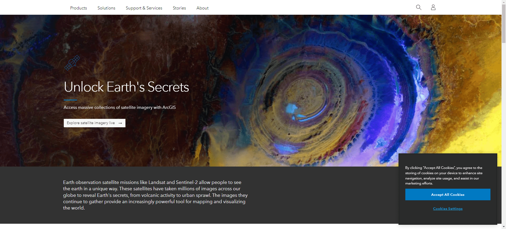
  link: http://www.esri.com/landsat
  name: ESRI LANDSAT Image Service
  desc: Image Services collection available through ArcGIS Online
  author: Login Required?No
- img: https://pics.landcover100.com/pics/image/IMA20.png
  link: http://www.eumetsat.int/website/home/Data/Products/
  name: EUMETCast
  desc: Meteorological products for atmospheric, land and marine applications. coverage over Europe, Africa and the Americas
  author: Login Required?Yes, register on Earth Observation Portal (https://eoportal.eumetsat.int/userMgmt/login.faces)
- img: https://pics.landcover100.com/pics/image/IMA21.png
  link: https://earth.esa.int/web/guest/data-access
  name: European Space Agency Multi-mission Earth Observation Portal
  desc: Use "Data Access" tab to view available data. Most data is available freely after Principal Investigator registration at https://earth.esa.
  author: Login Required?Yes
- img: https://pics.landcover100.com/pics/image/IMA22.png
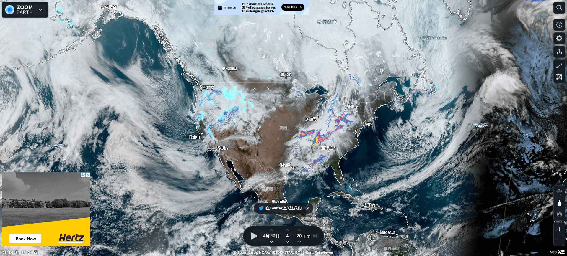
  link: http://www.flashearth.com/
  name: Flash Earth
  desc: Imagery from Microsoft and Yahoo; requires flash
  author: Login Required?No
- img: https://pics.landcover100.com/pics/image/IMA24.png
  link: http://www.eumetsat.int/website/home/Data/DataDelivery/OnlineDataAccess/index.html
  name: GeoNetCast (from Global Earth Observation System of Systems (GEOSS))
  desc: Image data archive and meterological products via FTP servers; some products on a weekly rolling cycle
  author: Login Required?Yes, register on Earth Observation Portal (https://eoportal.eumetsat.int/userMgmt/login.faces)
- img: https://pics.landcover100.com/pics/image/IMA25.png
  link: http://www.geonetcastamericas.noaa.gov/
  name: GeoNetCast Americas
  desc: Broadcast covering the Americas, managed by NOAA. GOES and POES satellite data and NOAA-NESDIS products
  author: Login Required?Yes, register on Earth Observation Portal (https://eoportal.eumetsat.int/userMgmt/login.faces)
- img: https://pics.landcover100.com/pics/image/IMA30.png
  link: http://libguides.humboldt.edu/GIS
  name: Humboldt State University aerial photo and satellite imagery clearinghouse
  desc: Links to datasets; not a searchable repository
  author: Login Required?No
- img: https://pics.landcover100.com/pics/image/IMA31.png
  link: http://bhuvan.nrsc.gov.in/bhuvan_links.html
  name: Indian Space Resesarch Organisation Geoportal (Bhuvan)
  desc: Data visualization tool designed by NRSC-ISRO. Its providing data for one time images of AWiFS of 56 m spatial resolution, of LISS-III of 2
  author: Login Required?No
- img: https://pics.landcover100.com/pics/image/IMA33.png
  link: http://www.fas.org/irp/imint/desert.htm
  name: Iraq Imagery
  desc: Imagery acquired during Desert Shield/Desert Storm
  author: Login Required?No
- img: https://pics.landcover100.com/pics/image/IMA34.png
  link: http://www.eorc.jaxa.jp/ALOS/en/gallery/new_arr.htm
  name: Japanese Earth observing satellite program
- img: https://pics.landcover100.com/pics/image/IMA35.png
  link: http://www.jma.go.jp/en/gms/
  name: Japanese Metercological Satellite MTSAT Series
  desc: Animation only? Not downloadable?
  author: Login Required?No
- img: https://pics.landcover100.com/pics/image/IMA36.png
  link: http://www.landiscor.com/products/historical-aerial-imagery.html
  name: Landiscor Historic Imagery
  desc: US Only
  author: Login Required?No
- img: https://pics.landcover100.com/pics/image/IMA38.png
  link: http://www.ornl.gov/sci/landscan/index.shtml
  name: LandScan
  desc: LandScan
- img: https://pics.landcover100.com/pics/image/IMA41.png
  link: http://oceancolor.gsfc.nasa.gov/cgi/landsat.pl
  name: Millennium Coral Reefs Landsat Archive (has a lot of land coverage, especially in SE asia)
  desc: Select a tile and use FTP acces to download Landsat imagery
  author: Login Required?No
- img: https://pics.landcover100.com/pics/image/IMA43.png
  link: http://earthobservatory.nasa.gov/NaturalHazards/
  name: NASA Earth Observatory Natural Hazards
  desc: Imagery of event sites downloadable as jpegs, GeoTiff KMZ and animation (image format varies by event); see also http://earthobservatory.na
  author: Login Required?No
- img: https://pics.landcover100.com/pics/image/IMA45.png
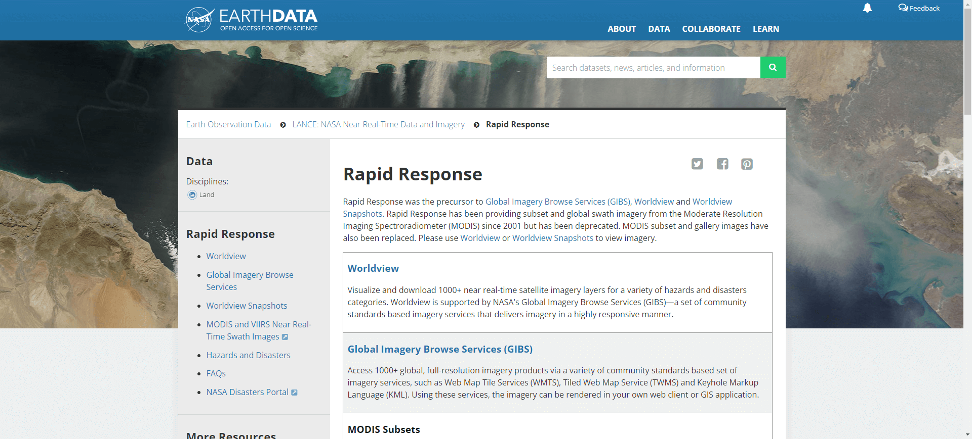
  link: http://lance.nasa.gov/imagery/rapid-response/subsets/
  name: NASA Rapid Response Downloadable Subsets
  desc: geo-rectified images, user defined subsets, to add more subsets contact
  author: Login Required?No
- img: https://pics.landcover100.com/pics/image/IMA54.png
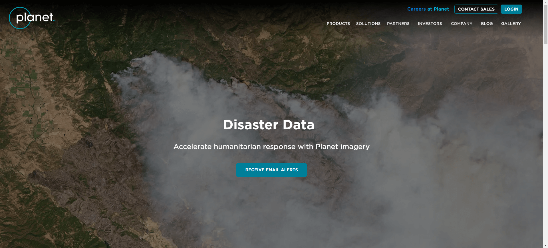
  link: https://www.planet.com/disasterdata
  name: Planet Labs Open Disster Data
  desc: RapidEye archive (back to 2009).  Query, zip and ship via archive imagery finder at http://eyefind.rapideye.com/
  author: Login Required?Yes
- img: https://pics.landcover100.com/pics/image/IMA59.png
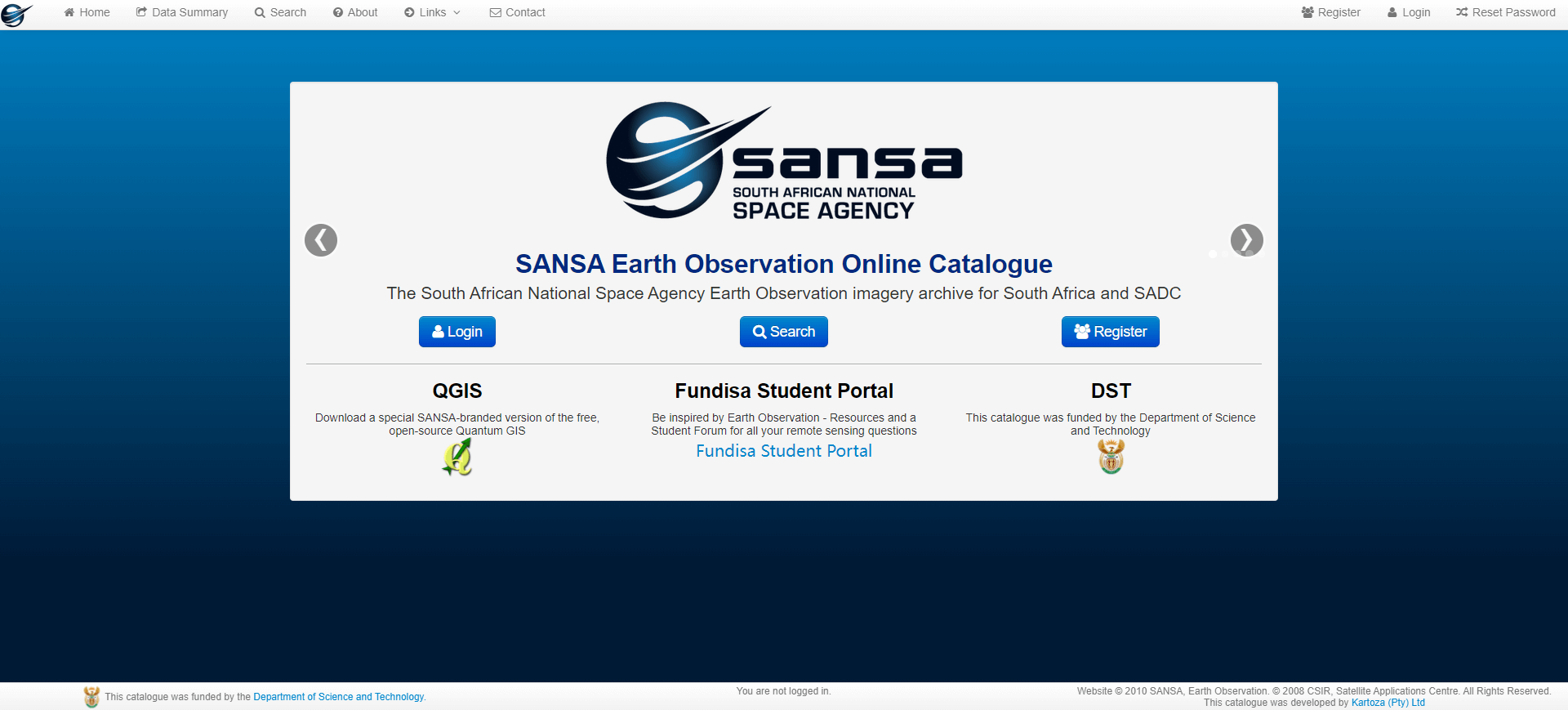
  link: http://catalogue.sansa.org.za/
  name: South African National Space Agency Online Catalogue
  desc: Some images are free and some are for sale - I don't know if it is clear which is free and which is for sale until after you order imagery
  author: Login Required?Yes
- img: https://pics.landcover100.com/pics/image/IMA62.png
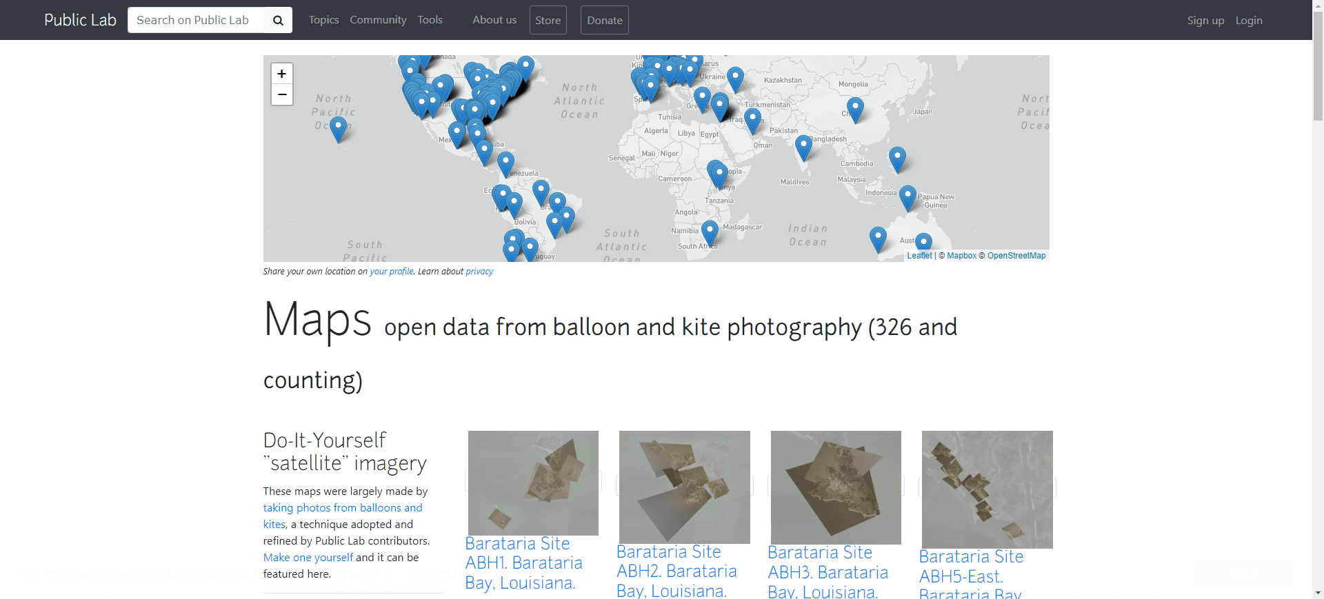
  link: http://publiclaboratory.org/archive
  name: The Public Laboratory for Science and Technology (PLOTS)
  desc: Use FireFox, Chrome or
- img: https://pics.landcover100.com/pics/image/IMA63.png
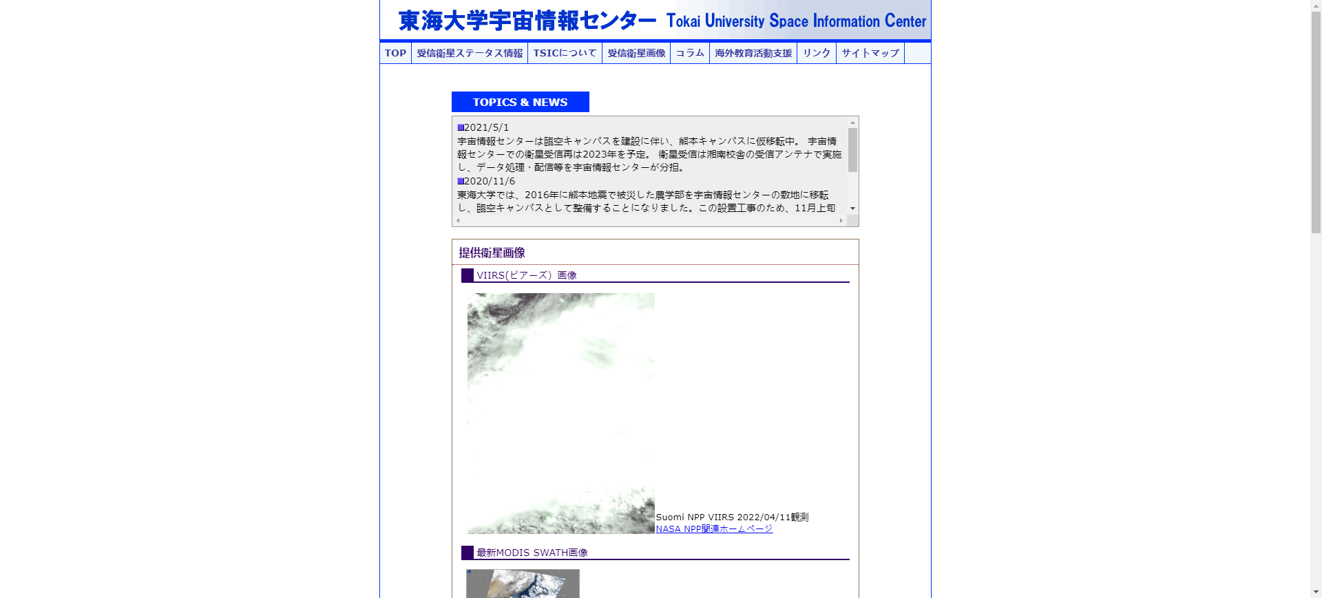
  link: http://www.tsic.u-tokai.ac.jp/
  name: Tokai University Space Information Center
  desc: Some imagery downloadable as jpegs - has grid lines that can be used to georeference image
  author: Login Required?No
- img: https://pics.landcover100.com/pics/image/IMA66.png
  link: http://edac.unm.edu/image-archive/
  name: University of New Mexico Imagery Clearinghouse
  desc: Description of imagery holdings - not clear how to download; Clearinghouse at http://rgis.unm.edu/ appears only to house NM data
  author: Login Required?No
- img: https://pics.landcover100.com/pics/image/IMA67.png
  link: http://www.lib.utexas.edu/maps/
  name: University of Texas Map Collection
  desc: PDF and JPEG Maps
  author: Login Required?No
- img: https://pics.landcover100.com/pics/image/IMA69.png
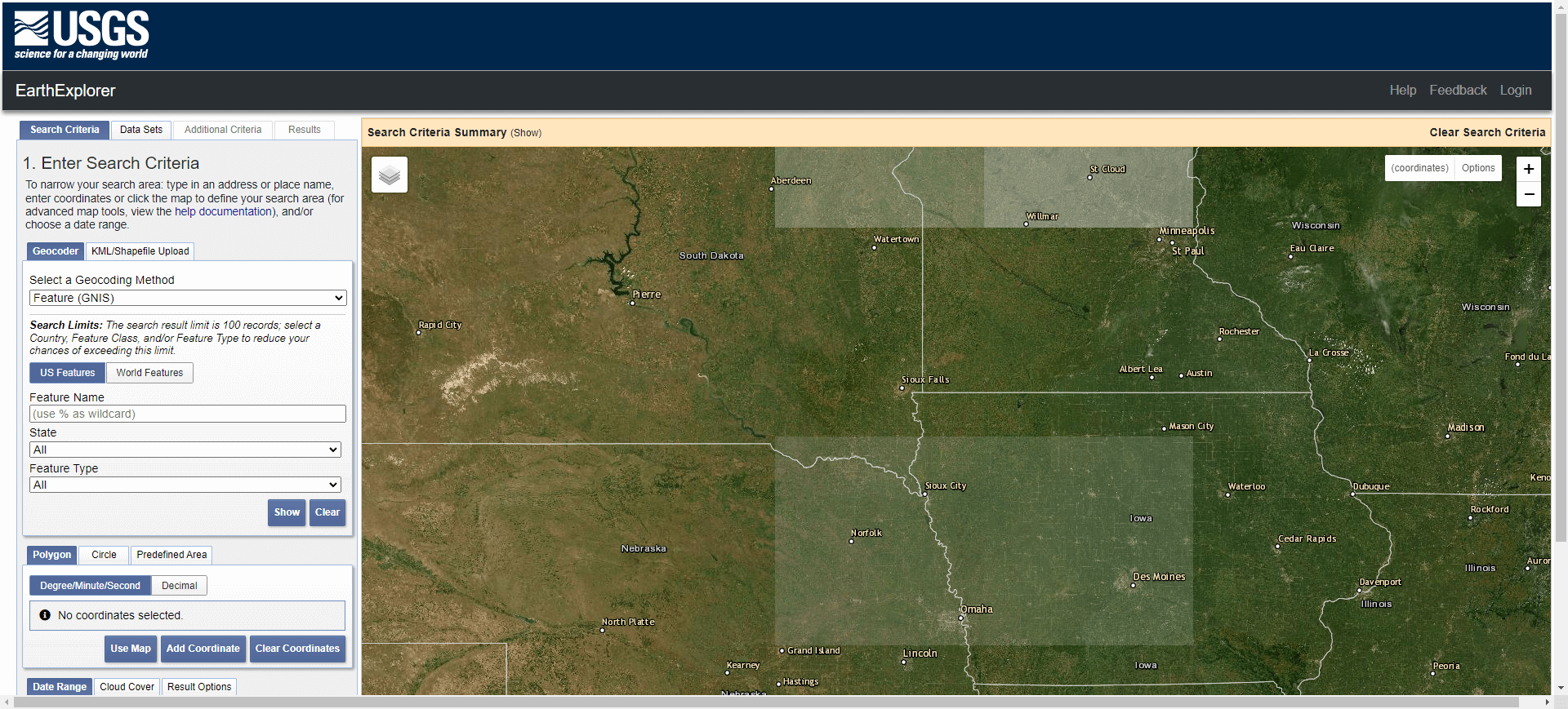
  link: http://earthexplorer.usgs.gov/
  name: USGS Earth Explorer
  desc: 180,000 scenes, one meter resolution (black and white) and four meter resolution (multi-spectral), captured by OrbView-3 satellite around t
  author: Login Required?No
- img: https://pics.landcover100.com/pics/image/IMA72.png
  link: http://eoportal.cr.usgs.gov/EO/quick_downloads.php
  name: USGS Hazards Data Distribution System
  desc: http://hdds.usgs.gov/hdds2/ (graphical view) or
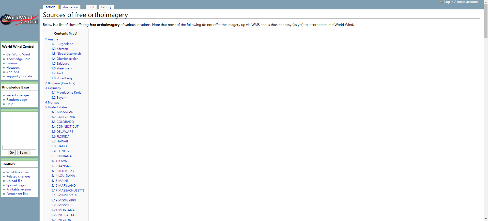
- img: https://pics.landcover100.com/pics/image/IMA77.png
  link: http://worldwindcentral.com/wiki/Sources_of_free_orthoimagery
  name: World Wind Central
  desc: free orthoimagery
  author: Login Required?No
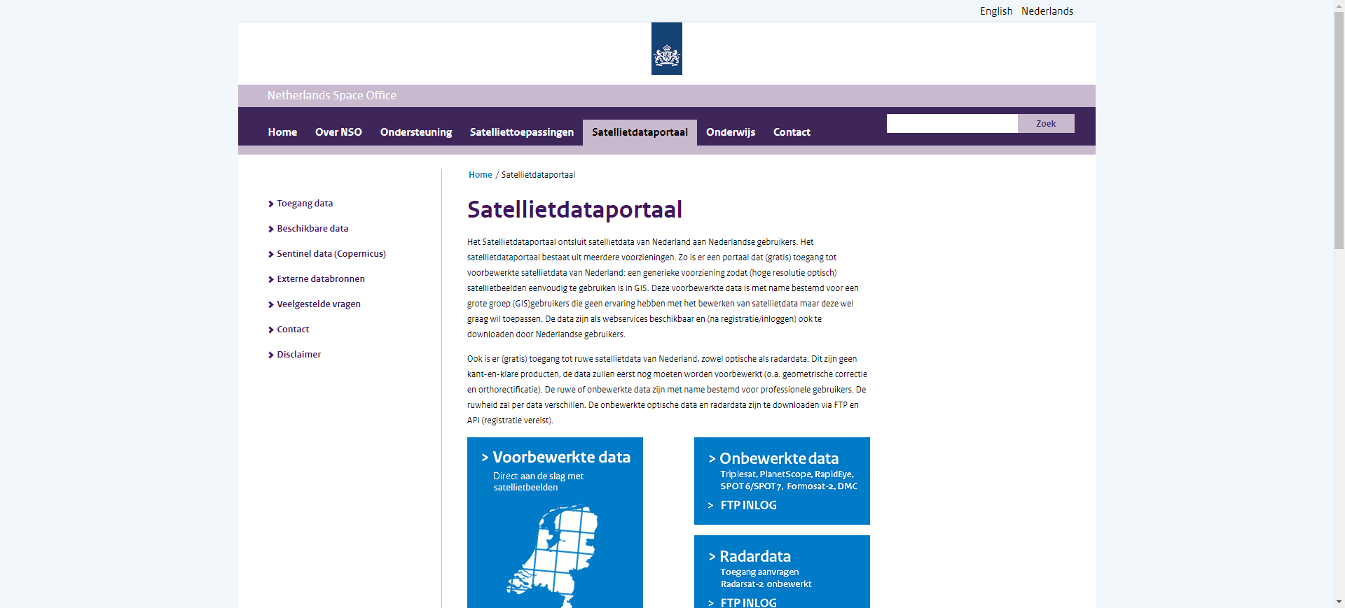
- img: https://pics.landcover100.com/pics/image/IMA78.png
  link: http://www.spaceoffice.nl/nl/Satellietdataportaal/
  name: Netherlands Space Office Satellite Data Portal
  desc: (Raw and processed images covering the Netherlands)optical, radar, avaialble via ftp. SPOT 6 and 7, Formosat, UK-DMC, Deimos, Radarsat, lin
  author: Login Required?Yes
- img: https://pics.landcover100.com/pics/image/IMA81.png
  link: https://www.radiant.earth/
  name: Radiant Earth Foundation
  desc: Platform allows for search, discover and analysis of open Earth imagery. Non raster data is available via an API. People can also share ana
  author: Login Required?Yes
导航表格 有一些网站是没有加载出来的,就没有做成贴片。更详细的信息见下表:
| Name | Web Address | Notes |
|---|---|---|
| ASIAES, or ASEAN+3 Satellite Image Archive for Environmental Study | http://asiaes.gistda.or.th/map.jsp | Map of disaster events classified by type (cold wave, drought, cyclone etc) |
| Aster and Modis Data | https://lpdaac.usgs.gov/products | See also subsets at http://earthdata.nasa.gov/data/nrt-data/rapid-response/modis-subsets and near realtime images at http://lance-modis.eosdis.nasa.gov/cgi-bin/imagery/realtime.cgi |
| ASTER GDEM | http://www.gdem.aster.ersdac.or.jp/ | Global Digital Elevation Model Tiles |
| Australian Landsat 8 Imagery | http://www.ga.gov.au (opens new window) | In development, Landsat 8 (15m-100m resolution) will launch in early 2013 and is expected to be fully operational by June. Geoscience Australia (GA) will publish imagery online under the Creative Commons Attribution 3.0 Australia licence. |
| CEOS CWIC Integrated catalog capabilities doc | http://cwic.wgiss.ceos.org/cwicv1/discovery?service=CSW&request=GetCapabilities&version=2.0.2 | CSW capabilities |
| CEOS International Directory Network Portals | http://idn.ceos.org/portals/Home.do?Portal=idn_ceos&MetadataType=0 | List of CEOS portals by topic (Ag, Climate, Human Dimenstions - boundaries, economics, land surface). See also current list of all CEOS IDN portals: http://idn.ceos.org/idn-portals and FedEO CSW http://ceos.org/ourwork/workinggroups/wgiss/projects/fedeo/ |
| CEOS Land Surface Imaging Portal | http://lsiexplorer.cr.usgs.gov/ | |
| Chinese meteorological satellite imagery | http://satellite.cma.gov.cn/portalsite/Data/Satellite.aspx?currentculture=en-US | also try searching for "风云" on http://govinfo.nlc.gov.cn/ |
| CLASS: Comprehensive Large Array-Data Stewardship System (NOAA) | http://www.class.ngdc.noaa.gov/saa/products/welcome | includes data from polar orbiting satellites, meteorological satellites, sea surface temperature (SST) data, sea surface height data, and more. |
| CMACast- China Meteorological Administration | http://www.nmic.gov.cn/web/channel-489.htm | AsiaSat 4 satellite broadcast data and products covering Asia Pacific region |
| Declassified Satellite Imagery 1 (1959-1972) | http://edcwww.cr.usgs.gov/products/satellite/declass1.html | CORONA, ARGON, and LANYARD Satellites |
| Declassified Satellite Imagery 2 (1963-1980) | http://edcwww.cr.usgs.gov/products/satellite/declass2.html | KH-7 Surveillance and KH-9 Mapping Systems |
| Digiglobe 16m Geotiff Imagery Tasmania | ftp://ftp.digitalglobe.com/incoming/dropoff/tasmania_jan06_2012/ | |
| Digital topographic map library | http://web.archive.org/web/20080704014535/http:/www.topomaps.eu/ | Russian series Topographic Maps |
| DLR Portal | http://www.dlr.de/dlr/en/desktopdefault.aspx/tabid-10002/ | |
| EO Portal | http://catalogues.eoportal.org/eoli.html | |
| EROS Data Cener | http://eros.usgs.gov/#/Find_Data | |
| ESDI-GLCF - Earth Science Data Interface at the Global Land Cover Facility | http://glcfapp.glcf.umd.edu:8080/esdi/index.jsp | Land cover and imagery; see also http://glcf.umd.edu/data/mosaic/ |
| ESRI LANDSAT Image Service | http://www.esri.com/landsat | Image Services collection available through ArcGIS Online |
| EUMETCast | http://www.eumetsat.int/website/home/Data/Products/ | Meteorological products for atmospheric, land and marine applications. coverage over Europe, Africa and the Americas |
| European Space Agency Multi-mission Earth Observation Portal | https://earth.esa.int/web/guest/data-access | Use "Data Access" tab to view available data. Most data is available freely after Principal Investigator registration at https://earth.esa.int/web/guest/pi-community; some datasets also free but require approval of project proposal |
| Flash Earth | http://www.flashearth.com/ | Imagery from Microsoft and Yahoo; requires flash |
| Gateway to Astronaut Photography of Earth | http://eol.jsc.nasa.gov/ | over a million archived photos taken by the International Space Station (ISS) over the past twelve years. |
| GeoNetCast (from Global Earth Observation System of Systems (GEOSS)) | http://www.eumetsat.int/website/home/Data/DataDelivery/OnlineDataAccess/index.html | Image data archive and meterological products via FTP servers; some products on a weekly rolling cycle |
| GeoNetCast Americas | http://www.geonetcastamericas.noaa.gov/ | Broadcast covering the Americas, managed by NOAA. GOES and POES satellite data and NOAA-NESDIS products |
| Global Land Cover Facility | http://esip.umiacs.umd.edu/data/ | Imagery and derived products. See also www.landcover.org |
| Google Earth Engine satellite imagery archive | http://earthengine.google.org/#index | I don't think data is downloadable - may be Engine only |
| Group on Earth Observations GEO Portal | http://www.geoportal.org/web/guest/geo_home | |
| Historical GE imagery | http://www.google.com/earth/explore/showcase/historical.html | |
| Humboldt State University aerial photo and satellite imagery clearinghouse | http://libguides.humboldt.edu/GIS (opens new window) | Links to datasets; not a searchable repository |
| Indian Space Resesarch Organisation Geoportal (Bhuvan) | http://bhuvan.nrsc.gov.in/bhuvan_links.html | Data visualization tool designed by NRSC-ISRO. Its providing data for one time images of AWiFS of 56 m spatial resolution, of LISS-III of 24 m (year 2008) and Cartosat-1 Stereo pair of 2.5 spatial resolution generated DEM; includes WMS. |
| International Charter "Space and Major Disasters" | http://www.disasterscharter.org (opens new window) | |
| Iraq Imagery | http://www.fas.org/irp/imint/desert.htm | Imagery acquired during Desert Shield/Desert Storm |
| Japanese Earth observing satellite program Advanced Land Observing Satellite (ALOS, nicknamed "Daichi") Data | http://www.eorc.jaxa.jp/ALOS/en/gallery/new_arr.htm | Data files (Raw format) and image files (PNG format) are available via each clickable map by FTP. |
| Japanese Metercological Satellite MTSAT Series | http://www.jma.go.jp/en/gms/ | Animation only? Not downloadable? |
| Landiscor Historic Imagery | http://www.landiscor.com/products/historical-aerial-imagery.html (opens new window) | US Only |
| Landsat 8 Imagery via Development Seed | http://libra.developmentseed.org/ | |
| LandScan | http://www.ornl.gov/sci/landscan/index.shtml | LandScan™ Data are available free of charge for U.S. Federal Government agencies. License fees are determined on a case-by-case basis for all other requests. Registration takes ~ 24 hours to process |
| List of Remotely Sensed Data Sources | http://www.cgrer.uiowa.edu/servers/servers_geodata.html#remotedata | |
| Malaysian Remote Sensing Agency (ARSM), Ministry of Science, Technology and Innovation | http://www.remotesensing.gov.my/custom.cfm?name=dataservices.cfm | To purchase Malaysian imagery (Quickbird, IKONOS) download and submit form found on this link; Graduates and post-graduates students whose research is in remote sensing field may request limited quantities of free Landsat and SPOT data. |
| Millennium Coral Reefs Landsat Archive (has a lot of land coverage, especially in SE asia) | http://oceancolor.gsfc.nasa.gov/cgi/landsat.pl | Select a tile and use FTP acces to download Landsat imagery |
| NASA - OnEarth, server of the Landsat 7, WMS Global Mosaic | http://onearth.jpl.nasa.gov/ | |
| NASA Earth Observatory Natural Hazards | http://earthobservatory.nasa.gov/NaturalHazards/ | Imagery of event sites downloadable as jpegs, GeoTiff KMZ and animation (image format varies by event); see also http://earthobservatory.nasa.gov/Images/ and http://earthobservatory.nasa.gov/GlobalMaps/ |
| NASA Langley Atmospheric Science Data Center | http://eosweb.larc.nasa.gov/HPDOCS/datapool/ | Web interface and FTP access to select data products - combination of imagery and atmospheric chemical composition data, models and statistical summaries; some campaigns are country specific |
| NASA Rapid Response Downloadable Subsets | http://lance.nasa.gov/imagery/rapid-response/subsets/ | geo-rectified images, user defined subsets, to add more subsets contact |
| NASA Rapid Response WMS | http://lance-modis.eosdis.nasa.gov/wms/ | View AND download imagery from WMS; |
| NASA Visible Earth Project | http://visibleearth.nasa.gov/ | |
| National Institute for Space Research (INPE) Image Catalog (Brazil) | http://www.dgi.inpe.br/CDSR/ | |
| NOAA Operational Significant Event Imagery | http://www.osei.noaa.gov/ | Downloadable images and animations of Dust Storms, Fires , Floods, Icebergs, Ocean, Severe, Weather, Snow Cover, Storms, Tropical Cyclones, Hurricanes, & Typhoons, Unique Imagery, and Volcanoes from 2010 |
| noeXanu! (Go!) | http://poehali.org/maps | Russian series Topographic Maps |
| Open Aerial Map | http://www.openaerialmap.org/Main_Page | Offline |
| Open Drone Map | http://opendronemap.github.io/odm/ | |
| China GEOSS National Remote Sensing Center, Ministry of Science and Technology, People's Republic of China Platform | http://www.chinageoss.org/dsp/home/index.jsp | |
| Planet Labs Open Disster Data | https://www.planet.com/disasterdata | RapidEye archive (back to 2009). Query, zip and ship via archive imagery finder at http://eyefind.rapideye.com/ |
| Realtime Satellite Images | http://imkhp2.physik.uni-karlsruhe.de/~muehr/satbilder_e.html | |
| REVERB | ECHO (NASA) | https://reverb.echo.nasa.gov (opens new window) | client for searching and ordering earth science data from various NASA and affiliated centers (will replace WIST tool which is still online https://wist-ops.echo.nasa.gov ) |
| Russian topographic maps | http://mapy.mk.cvut.cz/list | Scanned and georeferenced Russian topographic maps; 1:100k and 1:200k (click on Seznam and scroll to Rusko-Russia) |
| Sentinel Asia Emergency Observation Imagery Viewer | https://sentinel.tksc.jaxa.jp/sentinel2/webGISControl.action?requestId=ERPHMO000005&subsetName=Emergency+Observation&requestId_date=1328557740000 | Not sure if data is downloable |
| South African National Space Agency Online Catalogue | http://catalogue.sansa.org.za/ | Some images are free and some are for sale - I don't know if it is clear which is free and which is for sale until after you order imagery and are contacted by the agency or are given a download link; also provides customized special edition of Quantum GIS |
| Space Physics Interactive Data Resource (SPIDR) | http://spidr.ngdc.noaa.gov/spidr/dataset.do?task=clearview | Nighttime lights (DMSP) and other datasets |
| Thai Geo-Informatics and Space Technology Development Agency | http://www.gistda.or.th/gistda_n/en/index.php?option=com_content&view=article&id=17&Itemid=27 | list of data portals; THEOS Image footprints go to http://theos.gistda.or.th/catalog/ not downloadable? |
| The Public Laboratory for Science and Technology (PLOTS) | http://publiclaboratory.org/archive | Use FireFox, Chrome or other non-IE browser to view website; public domain aerial image maps-only US cities in archive at this time; |
| Tokai University Space Information Center | http://www.tsic.u-tokai.ac.jp/ | Some imagery downloadable as jpegs - has grid lines that can be used to georeference image |
| UAViators: Humanitraian UAV Network | http://uaviators.org/map | Click on locator map to see recent drone videos and imagery submitted from the network |
| UCS Satellite database | http://www.ucsusa.org/nuclear_weapons_and_global_security/solutions/space-weapons/ucs-satellite-database.html | |
| University of New Mexico Imagery Clearinghouse | http://edac.unm.edu/image-archive/ | Description of imagery holdings - not clear how to download; Clearinghouse at http://rgis.unm.edu/ appears only to house NM data |
| University of Texas Map Collection | http://www.lib.utexas.edu/maps/ | PDF and JPEG Maps |
| USG Hazards Data Distribution System (HDDS) portal | https://hdds.usgs.gov/hdds2/ | pre and post disaster imagery- two modes of access: public - mostly Landsat, ALI, Aster: restricted- geoeye, worldview, aerials and other ad-hoc data. Access to restricted imagery is provided on a "case to case" basis. See also HDDS Explorer http://hddsexplorer.usgs.gov) |
| USGS Earth Explorer | http://earthexplorer.usgs.gov/ | 180,000 scenes, one meter resolution (black and white) and four meter resolution (multi-spectral), captured by OrbView-3 satellite around the world between 2003 and 2007. Format is GeoEye's Basic Enhanced (L1B) product; also has topography for Asia |
| USGS EarthExplorer | http://edcsns17.cr.usgs.gov/NewEarthExplorer/ | Seamless Imagery Extraction |
| USGS Global Visualization Viewer | http://glovis.usgs.gov/ | |
| USGS Hazards Data Distribution System | http://eoportal.cr.usgs.gov/EO/quick_downloads.php | Link to search imagery in HDDS: http://hdds.usgs.gov/hdds2/ (graphical view) or http://hdds.usgs.gov/hdds/ (directory view). Link to the form to get access to restricted imagery: https://hdds.usgs.gov/hdds2/access/request (Login required) |
| USGS Land Process Distributed Active Archive Center | https://lpdaac.usgs.gov/products/other_data_links | |
| USGS Landsat archives (part) | https://storage.cloud.google.com/earthengine-public | |
| USGS Maps, Imagery, and Publications | http://www.usgs.gov/pubprod/aerial.html | |
| Web-enabled Landsat Data (WELD) (USA, acquistions 2003-2012) | http://weld.cr.usgs.gov/ | custom GeoTiff subsets via a interactive web ordering system and as tiled HDF products via FTP; Project documentation, including link to using WELD with open source stack here: http://globalmonitoring.sdstate.edu/projects/weld/ |
| World Wind Central | http://worldwindcentral.com/wiki/Sources_of_free_orthoimagery | free orthoimagery |
| Netherlands Space Office Satellite Data Portal | http://www.spaceoffice.nl/nl/Satellietdataportaal/ | Raw and processed images covering the Netherlands: optical, radar, avaialble via ftp. SPOT 6 and 7, Formosat, UK-DMC, Deimos, Radarsat, links to external sources for Landsat, Terra/Aster/Aqua/Modis, EO-1 |
| Airbus World Heritage Imagery | https://www.theia-land.fr/en/news/opening-spot-world-heritage-data-base | managed by CNES (French Space Agency); SPOT 1 to 4 archive data for free as well as SPOT 5 data aged more than 4 years (refreshed each year). If you are able to purchase imagery, Airbus Defense and Space GEO SALES to UN entities is managed by Eric Duclos Gendreu (eric.duclos-gendreu @astrium.eads.net). |
| ESA Sentinel Online | sentinel.esa.int (opens new window) | Access to Sentineal and Copernicus data; see also https://sentinel.esa.int/web/sentinel/sentinel-data-access;jsessionid=6FD771EB30505B6055A86AE3FA5F78F7 and https://scihub.esa.int/ (Sentinel Hub) and https://spacedata.copernicus.eu/ (CSCDA Portal) |
| Radiant Earth Foundation | https://www.radiant.earth/ | Platform allows for search, discover and analysis of open Earth imagery. Non raster data is available via an API. People can also share analytical projects for joint collaboration |
有问题,我来改改 (opens new window)
上次更新: 2022/10/17, 19:07:36


