 Events
- img: https://pics.landcover100.com/pics/image/EVENT1.png
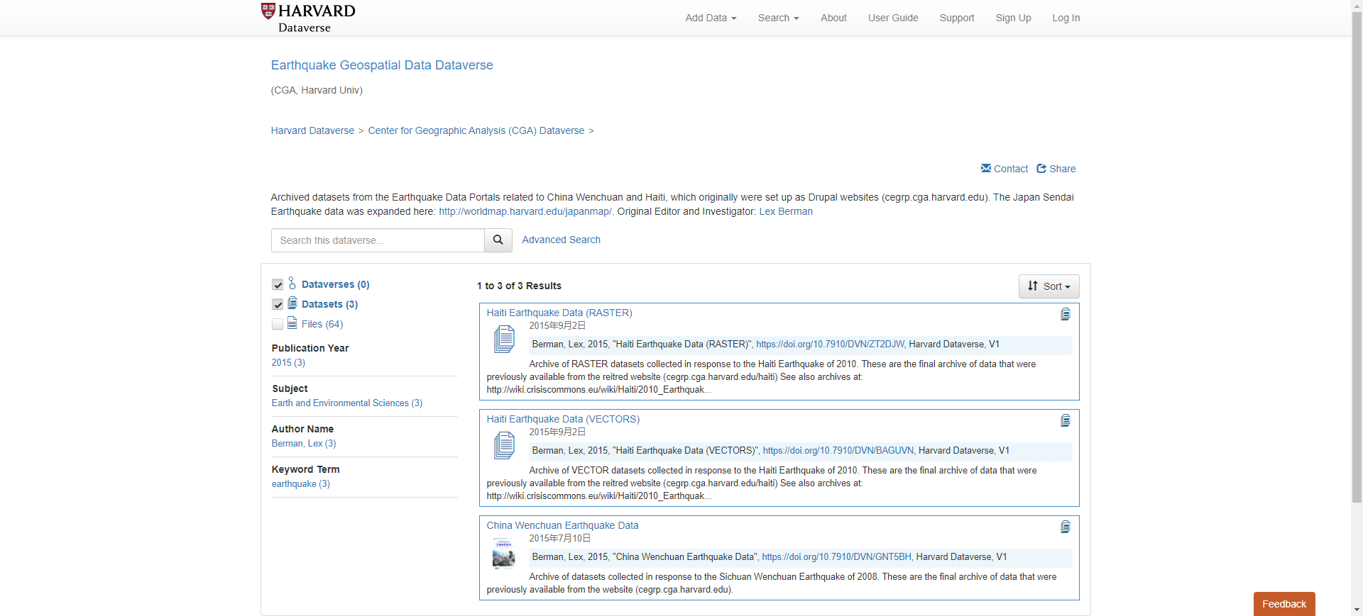
  link: http://cegrp.cga.harvard.edu/
  name: China Earthquake Geospatial Research Portal
  desc: (2008 China Earthquake
- img: https://pics.landcover100.com/pics/image/EVENT2.png
  link: http://www.acted.org/en/haiti-map-center
  name: ACTED Haiti Map Center
  desc: (2010 Haiti Earthquake)pdf only
  author: Login Required?No
- img: https://pics.landcover100.com/pics/image/EVENT3.png
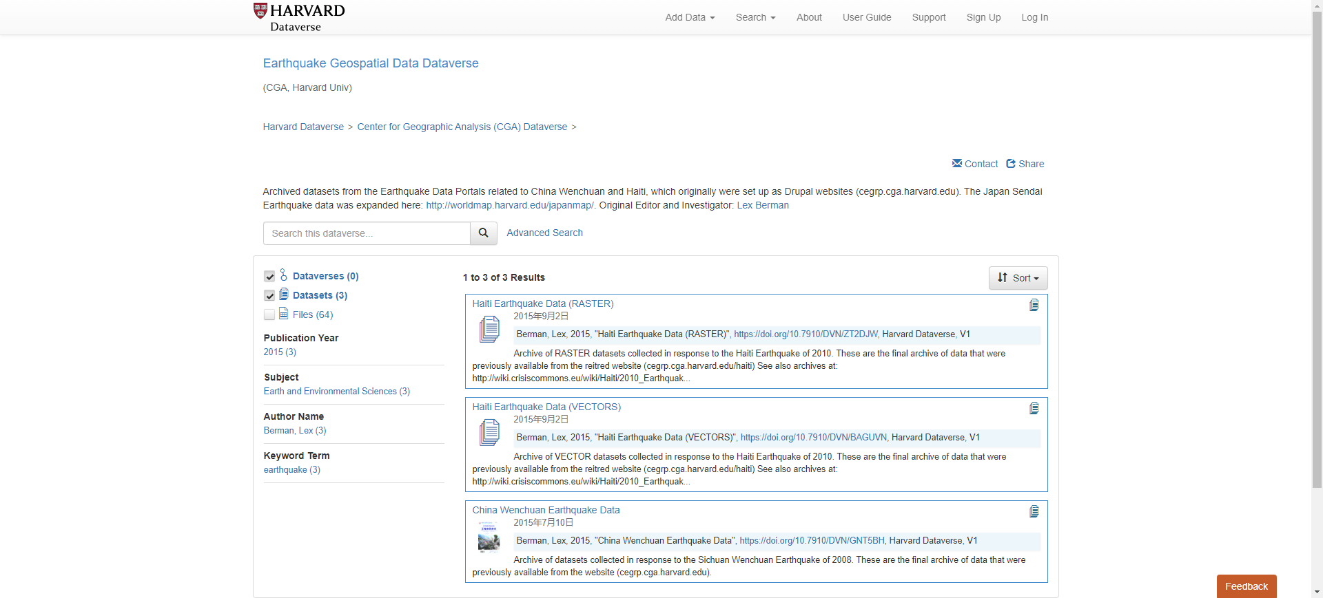
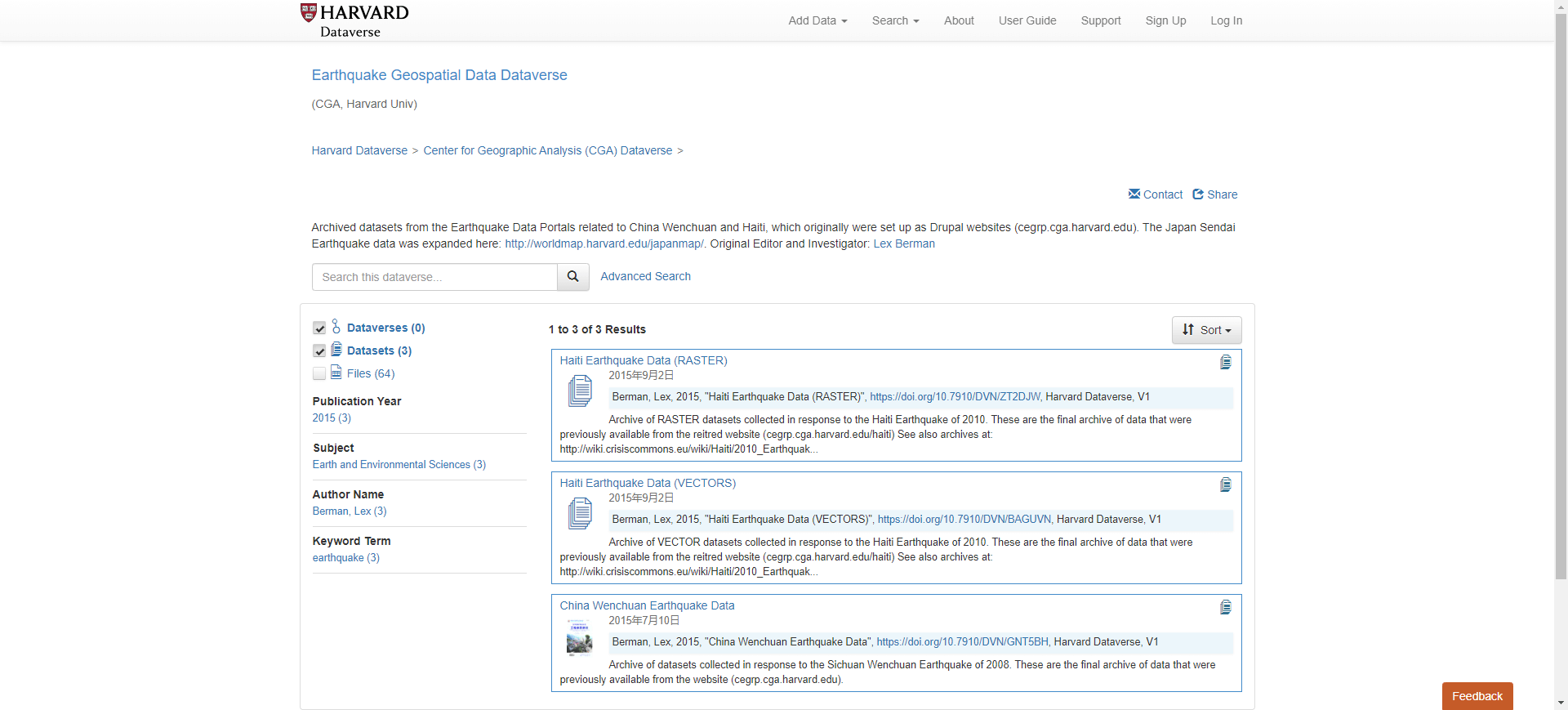
  link: http://cegrp.cga.harvard.edu/haiti/
  name: Haiti Earthquake Data Portal
  desc: (2010 Haiti Earthquake)also try http://cegrp.cga.harvard.edu/hai
  author: Login Required?No
- img: https://pics.landcover100.com/pics/image/EVENT4.png
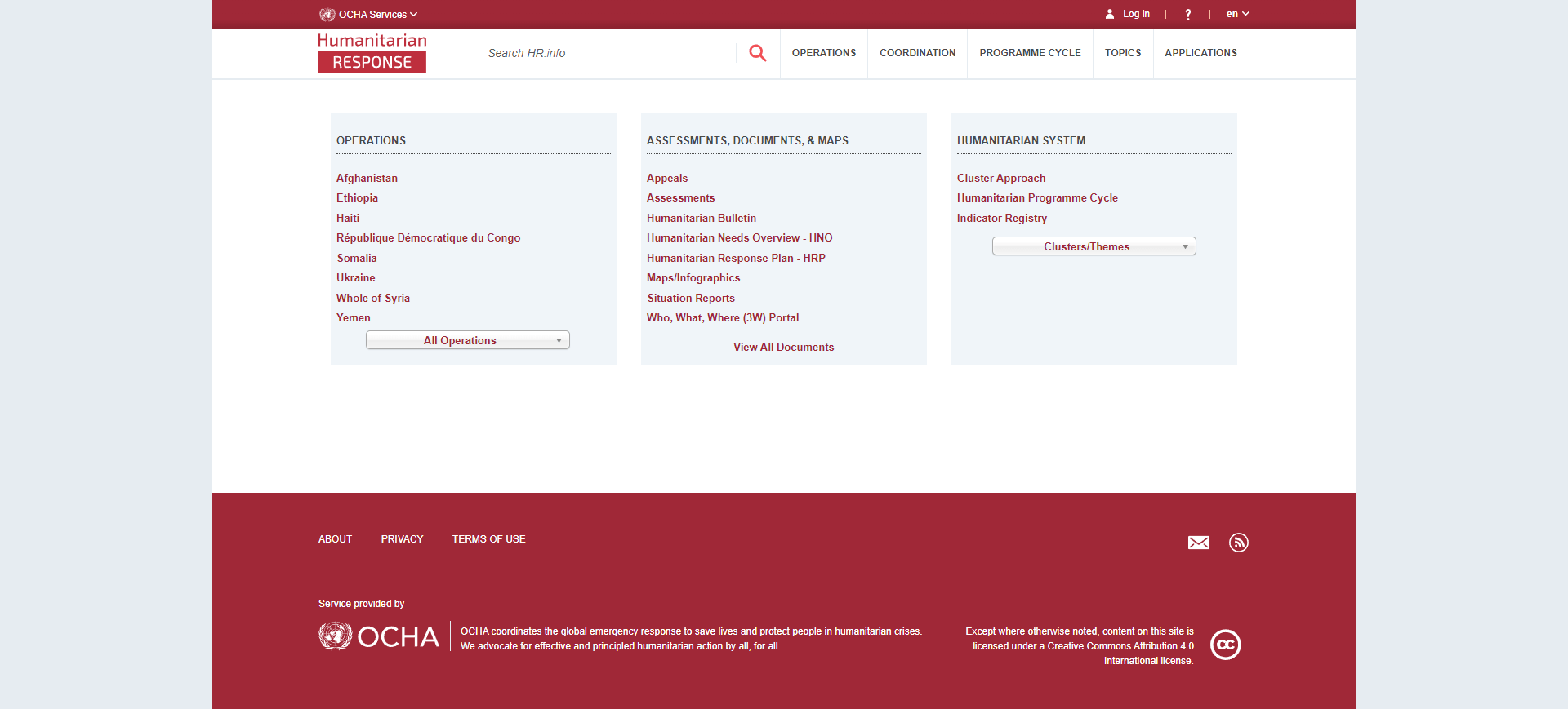
  link: http://oneresponse.info/Disasters/Haiti/MapCenter/Pages/GIS.aspx
  name: OneResponse
  desc: (2010 Haiti Earthquake)
  author: Login Required?No
- img: https://pics.landcover100.com/pics/image/EVENT7.png
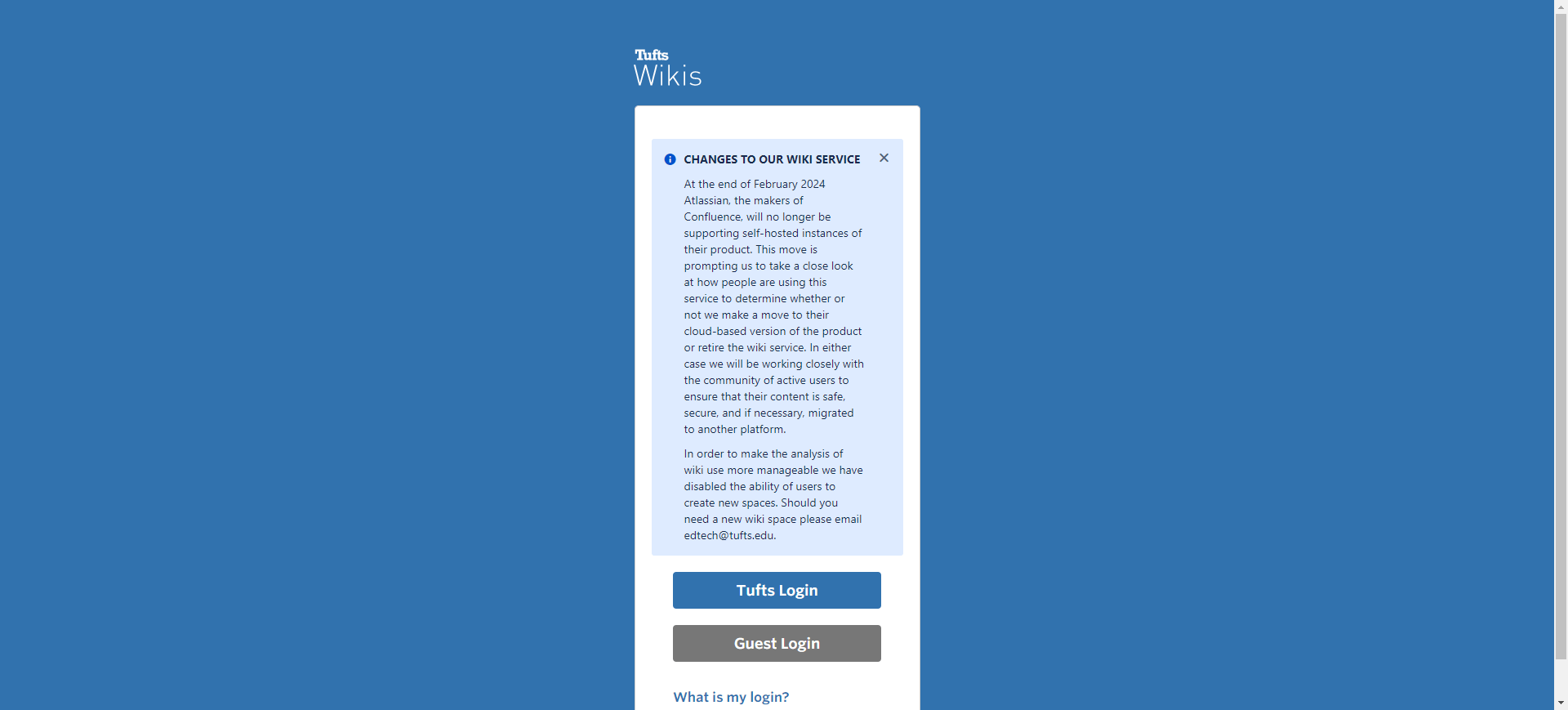
  link: https://wikis.uit.tufts.edu/confluence/display/GISatTufts/Haiti+G
  name: Tufts Haiti Geospatial Data Repository
  desc: (2010 Haiti Earthquake)Satellie imagery, dems, vector infrastruct
  author: Login Required?No
- img: https://pics.landcover100.com/pics/image/EVENT8.png
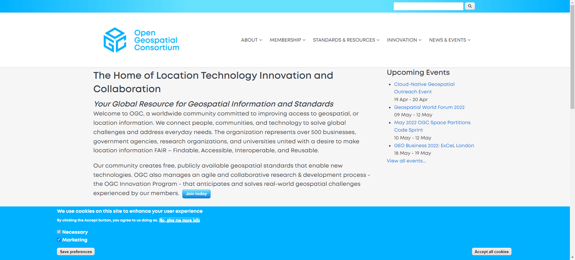
  link: http://www.ogcnetwork.net/node/1886
  name: OGC Haiti Datasets
  desc: (2010 Haiti Earthquake)Developed for OGC testbeds OWS-9 and OWS-8
  author: Login Required?No
- img: https://pics.landcover100.com/pics/image/EVENT10.png
  link: http://cegrp.cga.harvard.edu/japan/?q=content/home
  name: Japan Sendai Earthquake Data Portal
  desc: (2011 Japan Earthquake)
  author: Login Required?No
- img: https://pics.landcover100.com/pics/image/EVENT12.png
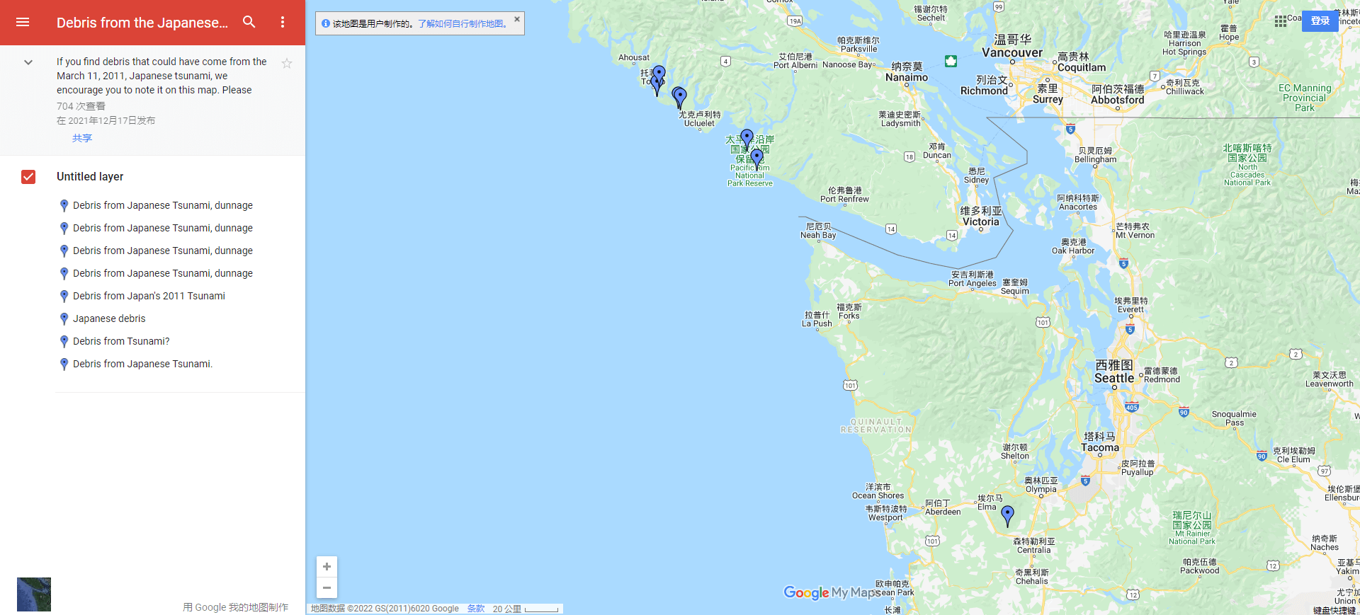
  link: http://maps.google.ca/maps/ms?msid=205520628492986202874.0004b52b
  name: Debris from the Japanese tsunami on B.C. shores
  desc: (2011 Japanese tsunami (MARCH 11))Google map with reported debris
  author: Login Required?No
- img: https://pics.landcover100.com/pics/image/EVENT13.png
  link: https://www.sheltercluster.org/Asia/Philippines/TropicalStormSend
  name: Tropical Storm Sendong
  desc: (2011 Philippines Tropical Storm Sendong (DEC 16-17))pdf only
  author: Login Required?No
- img: https://pics.landcover100.com/pics/image/EVENT16.png
  link: http://www.google.org/crisismap/a/google.com/2012-08-philippines-
  name: Google Crisis Response Page Typhoon Haikui
  desc: (2012 Philippines Flood (AUG) )Downloadable KMLs of shelters, don
  author: Login Required?No
- img: https://pics.landcover100.com/pics/image/EVENT17.png
  link: http://dusk.geo.orst.edu/djl/samoa/tsunami.html
  name: Samoa Tsunami Damage Maps
  desc: (Site says maps received September, 2009 - unclear on map source
  author: Login Required?No
- img: https://pics.landcover100.com/pics/image/EVENT18.png
  link: http://noah.dost.gov.ph/
  name: PH Nationwide Operational Assessment of Hazards (NOAH)
  desc: (2013 November Typhoon Haiyan/Yolanda)
- img: https://pics.landcover100.com/pics/image/EVENT20.png
  link: http://aria-share.jpl.nasa.gov/events/20150425-Nepal_EQ/DPM/ARIA_
  name: JPL
  desc: (2015 April Nepal earthquake)Aria Damage Proxy Map (as KMZ image
  author: Login Required?No
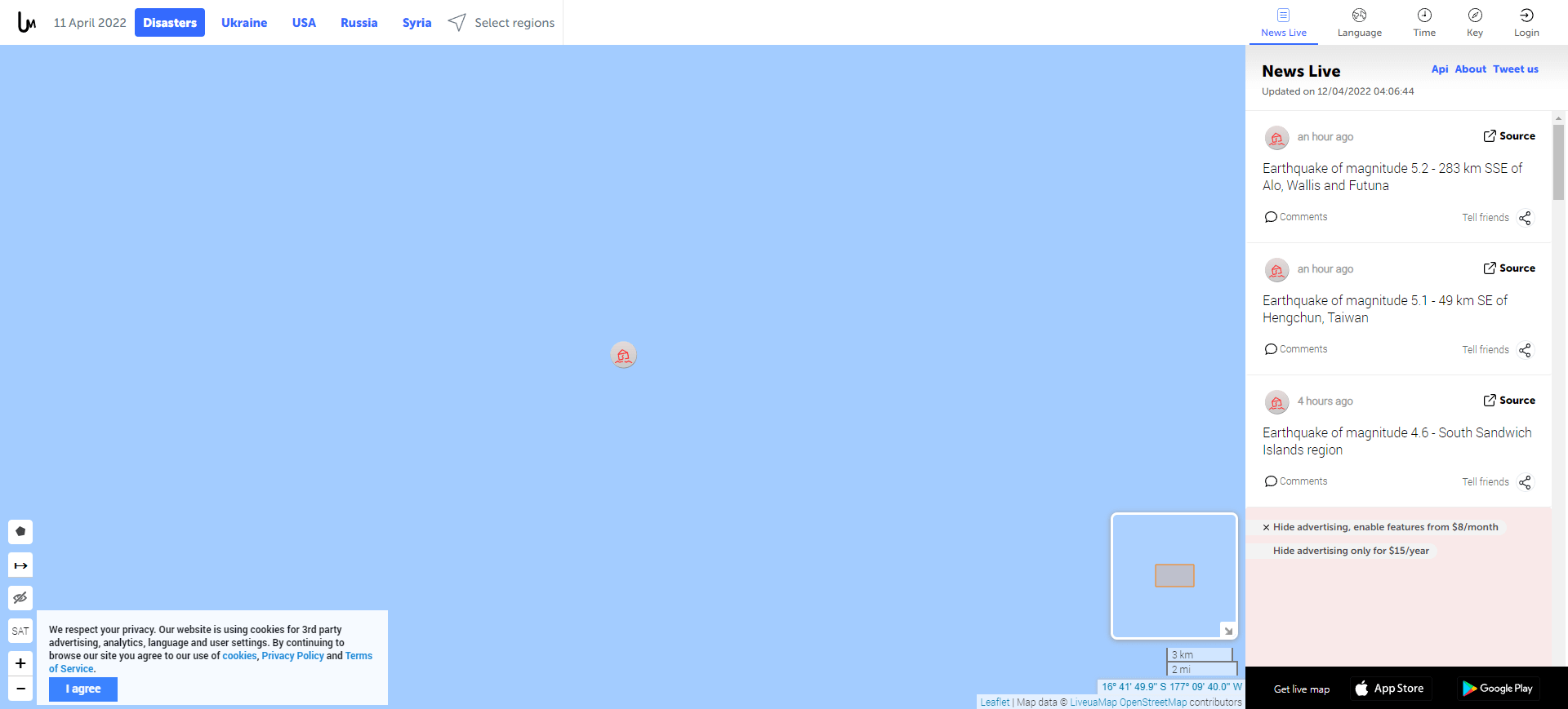
- img: https://pics.landcover100.com/pics/image/EVENT29.png
  link: http://disasters.liveuamap.com/
  name: liveumap
  desc: (Online live map of disaster events - events sourced either entir
  author: Login Required?No
导航表格 有一些网站是没有加载出来的,就没有做成贴片。更详细的信息见下表:
| Name | Web Address | Login Required? | Event | Notes |
|---|---|---|---|---|
| China Earthquake Geospatial Research Portal | http://cegrp.cga.harvard.edu/ | No | 2008 China Earthquake (May) | |
| ACTED Haiti Map Center | http://www.acted.org/en/haiti-map-center | No | 2010 Haiti Earthquake | pdf only |
| Haiti Earthquake Data Portal | http://cegrp.cga.harvard.edu/haiti/ | No | 2010 Haiti Earthquake | also try: http://cegrp.cga.harvard.edu/haiti/?q=content/haiti-earthquake-gis-data |
| OneResponse | http://oneresponse.info/Disasters/Haiti/MapCenter/Pages/GIS.aspx | No | 2010 Haiti Earthquake | |
| GEO's Haiti Event Supersite | http://supersites.earthobservations.org/haiti.php | No | 2010 Haiti Earthquake | |
| TelaScience | http://hyperquad.telascience.org/cgi-bin/mapserv?map=/bigdata/haiti3/haiti3.map&request=WMS&version=1.1.1& | No | 2010 Haiti Earthquake | OSM-compatible imagery for Haiti, pre and post Earthquake. |
| Tufts Haiti Geospatial Data Repository | https://wikis.uit.tufts.edu/confluence/display/GISatTufts/Haiti+Geospatial+Data+Resources | No | 2010 Haiti Earthquake | Satellie imagery, dems, vector infrastructure data, socioeconomic data (tabular and vector), crisis maps, links to other portals |
| OGC Haiti Datasets | http://www.ogcnetwork.net/node/1886 | No | 2010 Haiti Earthquake | Developed for OGC testbeds OWS-9 and OWS-8 |
| Pakistan Flood Response | http://www.pakresponse.info/Default.aspx?tabid=88 | No | 2010 Pakistan Flood | |
| Japan Sendai Earthquake Data Portal | http://cegrp.cga.harvard.edu/japan/?q=content/home | No | 2011 Japan Earthquake | |
| USSTRATCOM Global Awareness Presentation Services (GAPS) Japanese Earthquake UDOP Support | http://gapspub.ultra-prologic.com/japan/ | No | 2011 Japanese earthquake (MARCH 08) | |
| Debris from the Japanese tsunami on B.C. shores | http://maps.google.ca/maps/ms?msid=205520628492986202874.0004b52b97610bfa65ac3&msa=0&iwloc=0004b52d31bbc24b3c6d7 | No | 2011 Japanese tsunami (MARCH 11) | Google map with reported debris on BC (Canada) shore |
| Tropical Storm Sendong | https://www.sheltercluster.org/Asia/Philippines/TropicalStormSendong2011/Pages/default.aspx | No | 2011 Philippines Tropical Storm Sendong (DEC 16-17) | pdf only |
| ESRI Thailand Flooding AGS Group | [http://www.arcgis.com/home/group.html?owner=disaster_response&title=%232011%20Thailand%20Flooding](http://www.arcgis.com/home/group.html?owner=disaster_response&title=%232011 Thailand Flooding) | No | 2011 Thailand Flooding | see also http://www.esri.com/services/disaster-response/2011/thailand-flooding-map/ |
| ESRI Turkey Earthquake AGS Group | [http://www.arcgis.com/home/group.html?owner=disaster_response&title=%232011%20Turkey%20Earthquake](http://www.arcgis.com/home/group.html?owner=disaster_response&title=%232011 Turkey Earthquake) | No | 2011 Turkey Earthquake (OCT 23) | see also http://www.esri.com/services/disaster-response/2011/turkey-earthquake/ |
| Google Crisis Response Page: Typhoon Haikui | http://www.google.org/crisismap/a/google.com/2012-08-philippines-flood | No | 2012 Philippines Flood (AUG) | Downloadable KMLs of shelters, donation centers, river flood extent, rescue requests, and cloud cover |
| Samoa Tsunami Damage Maps | http://dusk.geo.orst.edu/djl/samoa/tsunami.html | No | Site says maps received September, 2009 - unclear on map source date | See also http://www.pacificdisaster.net:8080/Plone/samoa-tsunami for Samoa and Tonga sit reps, maps, photos |
| PH Nationwide Operational Assessment of Hazards (NOAH) | http://noah.dost.gov.ph/ | No | 2013 November Typhoon Haiyan/Yolanda | NOAH.ph doesn't have an API to get realtime data feeds, you can grab certain web resources, like lat-longs for their weather stations with this url: http://noah.dost.gov.ph/latest/download/station_all/?_=1384017608305 and that you can also then loop through those station names to get 24-hour forecasts on tide surge that update every six hours: http://noah.dost.gov.ph/td/campomanesbay_td/ |
| Radiation Levels by Prefecture | http://d2l1at02t09aem.cloudfront.net/Fukushima-Data.zip | No | 2011 Fukushima Daiichi Nuclear Disaster (MAR), Japan | Data used in map from the Guardian here: http://www.guardian.co.uk/science/blog/2011/mar/24/fukushima-radiation-levels (tables) |
| JPL | http://aria-share.jpl.nasa.gov/events/20150425-Nepal_EQ/DPM/ARIA_DPM_v0.5u_CSKd_20150430.kmz | No | 2015 April Nepal earthquake | Aria Damage Proxy Map (as KMZ image service); see also http://aria.jpl.nasa.gov |
| Hurricane Katrina Imagery from the NASA MODIS Rapid Response System | http://idn.ceos.org/portals/Metadata.do?Portal=idn_ceos&KeywordPath=Parameters%7CHUMAN+DIMENSIONS%7CSOCIAL+BEHAVIOR%7CDISASTER+RESPONSE&OrigMetadataNode=GCMD&EntryId=NASA_MODIS_RAPID_RESPONSE_KATRINA&MetadataView=Full&MetadataType=0&lbnode=mdlb3 (opens new window) | Hurricane Katrina August 2005 USA | ||
| Ebola Open Data Jam | http://www.eboladata.org/ | 2014-2015 Ebola epidemic West Africa | DKAN site sponsored by Nucivic; data covering Liberia, Guinea, Sierra Leone | |
| ESRI Disaster Response Program | http://www.esri.com/services/disaster-response/drought-famine-disease/ebola-outbreak-pim | 2014-2015 Ebola epidemic West Africa | ||
| ESRI Disaster Response Program | http://www.esri.com/services/disaster-response/drought-famine-disease/syria-refugee-storymap | Syrian Refugee Crisis 2015-2016 | ||
| Open Geospatial Data for World Health Organization (WHO) Ebola Response | http://home.ebolaresponse.opendata.arcgis.com/ | 2014-2015 Ebola epidemic West Africa | ||
| WFP West Africa, Ebola Emergency, Emergency Telecommunications Geonode instance | http://geonode.wfp.org/layers/geonode:wafr_etc_ebolaemergency_services_20141218 | 2014-2015 Ebola epidemic West Africa | ||
| MORO_CEDRIC's maps | http://umap.openstreetmap.fr/en/user/MORO_CEDRIC/ | 2014-2015 Ebola epidemic West Africa | ||
| Typhoon Yolanda Geonode | http://yolandadata.org/ | Typhoon Yolanda (Haiyan) November 2013 | ||
| liveumap | http://disasters.liveuamap.com/ | No | Online live map of disaster events - events sourced either entirely or vast majority from Twitter. Also has live conflict maps. Doesn't look like data is downloadable |
有问题,我来改改 (opens new window)
上次更新: 2022/10/17, 19:07:36

